
Menu

 2.8
km
one-way
2.8
km
one-way
 1
hr
1
hr
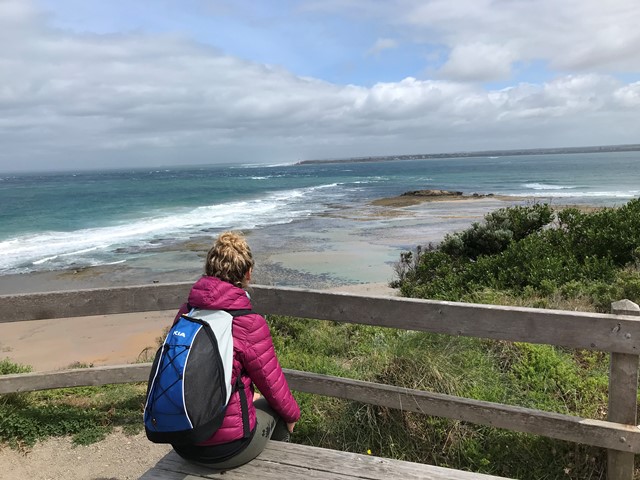
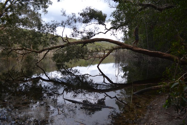
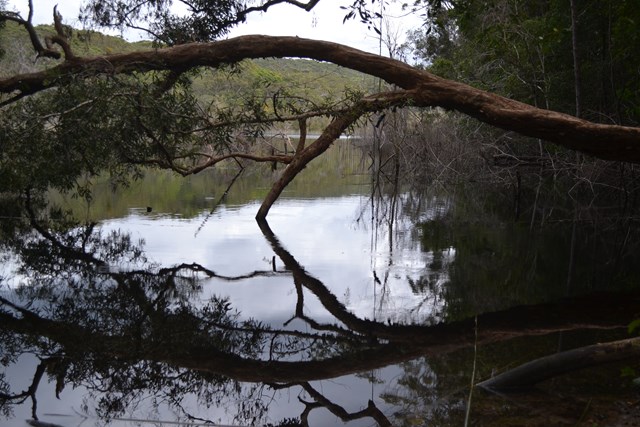
Bay Beach Walk
Explore the southern end of Port Phillip with this walk along the bay beach. The beach includes remnants of the old quarantine cattle jetty. Swimming is not advised due to Port Phillip's strong, unpredictable currents.
 1.7
km
one-way
40
mins
1.7
km
one-way
40
mins
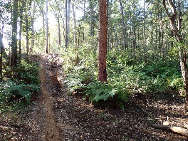
Wilsons Folly Track
This track links London Bridge in Mornington Peninsula National Park with Point Nepean. The walk traverses stands of Coastal Banksia, Moonah woodland and native grasslands. It can also be used an an extension of the long coastal walk from Cape Schanck.
 9
km
return
3
hrs
9
km
return
3
hrs
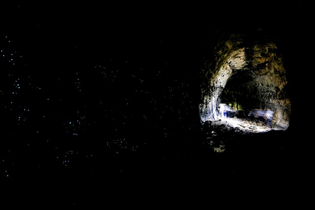
Glow Worm Tunnel (from Newnes)
The Glow Worm Tunnel can be accessed via two routes (a short walk via Clarence or a more challenging walk from Newnes). The destination is a disused rail tunnel, inhabited by thousands of glow worms. They can be seen at any time of day, as the curving railway tunnel is dark in the middle. This walk is the longer route that starts near the abandoned coal mining town of Newnes.
 500
m
return
30
mins
500
m
return
30
mins
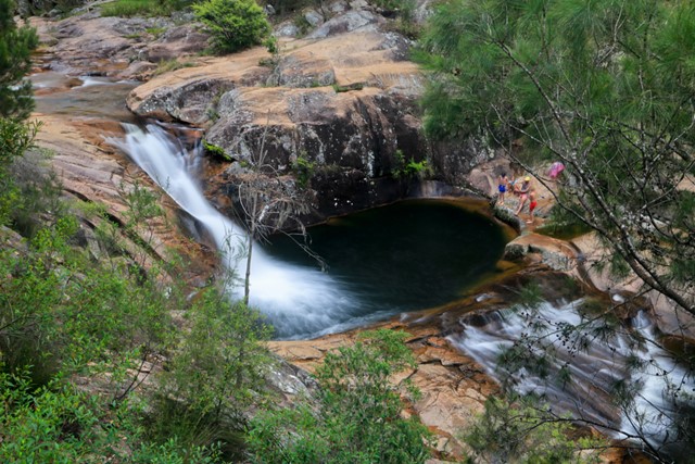
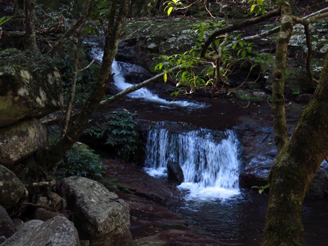
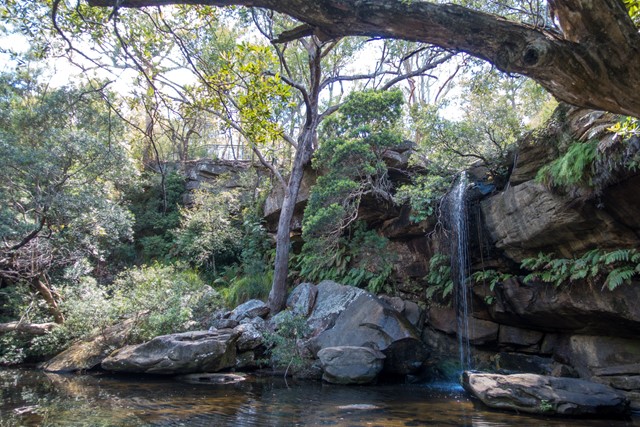
Mumbulla Falls
A (very) short walk to a beautiful gorge and waterhole on the south coast, with Aboriginal significance.
 4.5
km
return
87
mins
4.5
km
return
87
mins
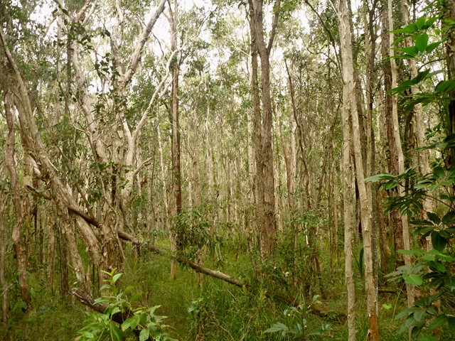
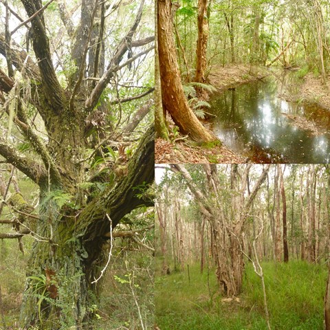
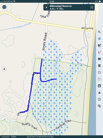
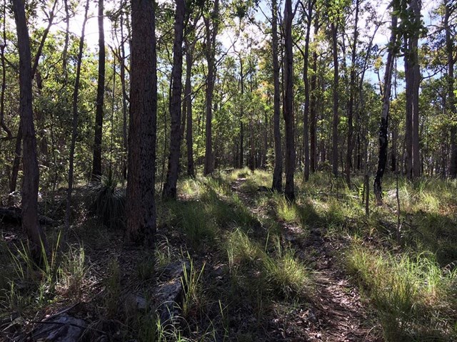
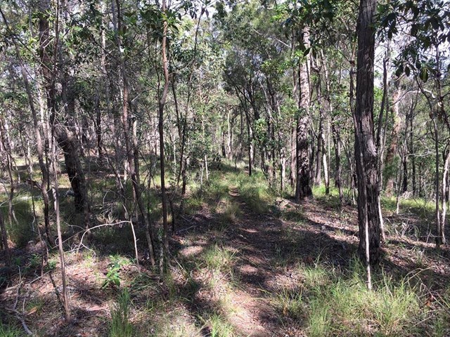
Billinudgel Nature Reserve
Nice shady walk through Paperbark Forrest.
Start at the gate at Jones Road (off Wooyung Road).
Follow Jones Road. After several hundred meters there is a off shot to the left marked by two stones.
Worth exploring with beautiful Paperbark forest and special places. Backtrack to Jones road and follow to the end ( gate private property festival site).
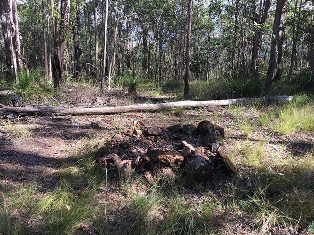
Note: the gate to Private property is before you hit quarry trail at the end of the gps track shown as map in the pictures.
Return.
Alternatively you can follow the Optus trail and cut through to the beach via central trail.
 1
km
return
20
mins
1
km
return
20
mins
Melaleuca Circuit
Small freshwater lagoons and eucalypt forest with large scribbly gums along the lagoon edge. This is a great walk for birdwatching. Easily accessed from Illaweena Street picnic area.
1.6
km
return
1
hr
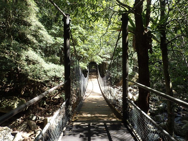
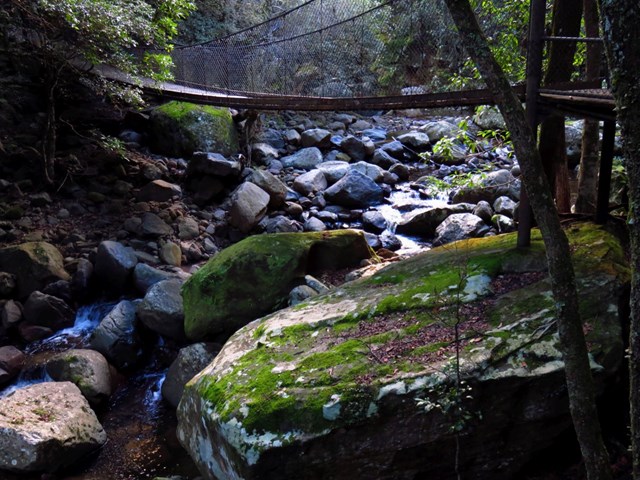
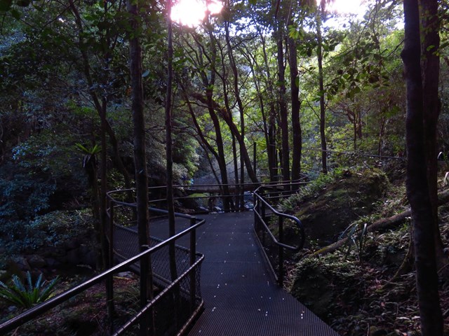
Rainforest Loop Walk
Meander through rich, remnant rainforest teeming with diversity on the Rainforest loop walk in Minnamurra Rainforest Centre. You’ll have a bird’s eye view over this primeval world as you wander the elevated walkway.
This easy, hour-long walk includes suspension bridges, viewing platforms and interpretive signs along the way. It’s a huge hit with kids, but the tranquil beauty of the subtropical, dry, riparian and temperate rainforest on display will appeal to all.
You’ll be impressed by the sheer variety of flora in this fragile ecosystem. Look out for bird’s nest ferns, strangler figs and colourful orchids.
If you’ve got the time and you’re keen to see more, why not add The Falls walk to your loop for a truly spectacular rainforest walking experience?
 6
km
return
90
mins
6
km
return
90
mins
Wootton Historic Railway Walk
Wootton Historical Railway Walk is located in Wang Wauk State Forest just north of Bulahdelah. This six kilometre walk starts off at Sam's Camp Picnic Area, with Wang Wauk Forest Way marking its halfway point. The first section of the walk takes in rainforest and cleared, grassy areas used by logging vehicles in the early 1900s. The walk follows significant remnants of old logging railways and mossy bridges, passing by waterfalls, creeks and through gully rainforest and magnificent regrowth flooded gums, before finishing at the remains of what-was-once a Trestle Bridge.
UPDATE: The second half of the walk is impassable, by car or walking on road only.
 6.3
km
return
2
hrs
6.3
km
return
2
hrs
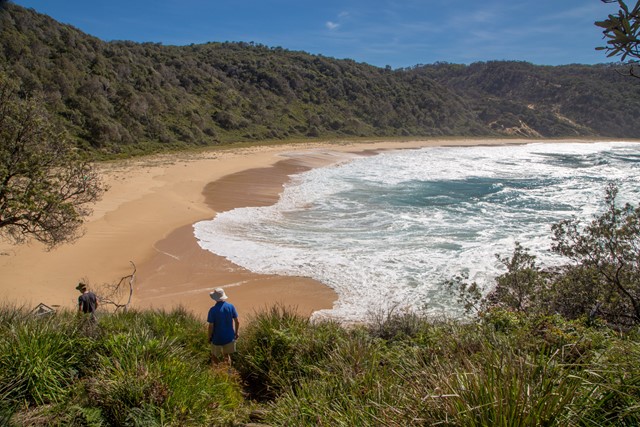
Steamers Beach
Steamers Beach is a surf beach accessed by a rough 4WD track, which can also be combined into a longer circuit. A nice and relatively secluded beach. The high, vegetation-covered sand dunes behind the beach are a result of a “mega tsunami” which occurred around 6700–7000 BC.
 7
km
return
7
km
return
Piles Creek Loop
A short but challenging walk along Piles Creek. Includes views of waterfalls and a suspension bridge, with a swimming hole near the end.
 4.8
km
return
3
hrs
4.8
km
return
3
hrs
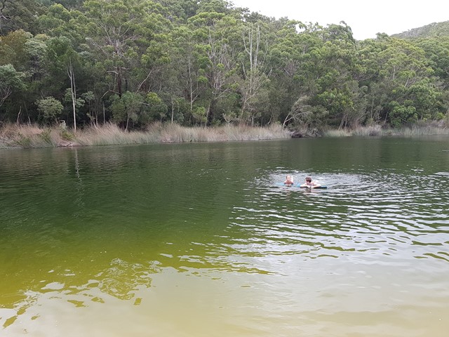
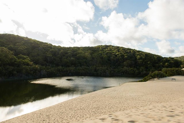
Lake Wabby Circuit
Park at the beach and hike up to Lake Wabby , trip starts with a longish walk through some beautiful forests before you reach the sand dunes and the lake. I would suggest that thongs are not a good choice for this walk. A pair of runners would be best for this walk over changeable terrain. As you emerge from the trees and walk out onto what seems like never ending sand dunes, you straight away get that feeling that the walk you just completed was completely worth it.
 2.1
km
return
1
hr
2.1
km
return
1
hr
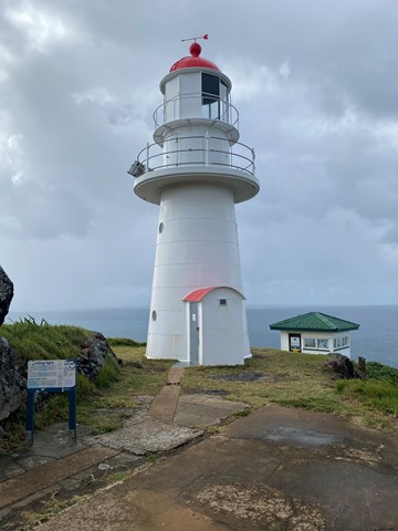
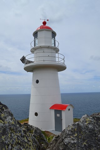
Double Island Point Light House
Enjoyable walk to the light house and back. Great views of the coast all the way north to the southern tip of Fraser Island. This walk is possible from The eastern end of Teerwah beach or the far northern end of Noosa north shore beach.
 3
km
return
1
hr
3
km
return
1
hr
Freshwater Lake
Easy walk along a well formed walking track to the lake. It is possible to circumnavigate the lake which will add around 4.5km to the walk. The lake has a tree leaning across which can be climbed and has a rope swing for swinging into the lake. Check for submerged objects!
 7.3
km
return
2.5
hrs
7.3
km
return
2.5
hrs
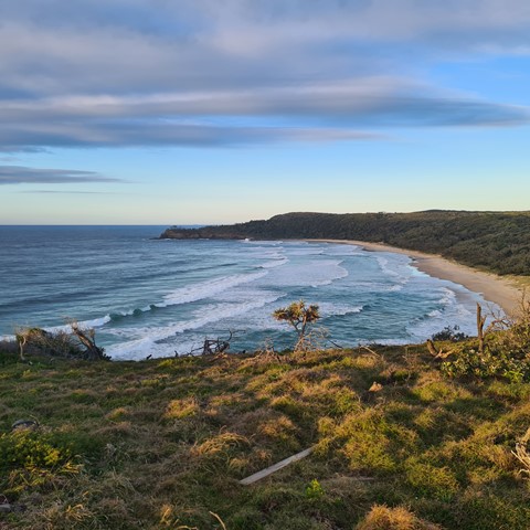
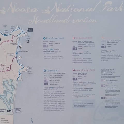
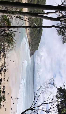
Noosa Headland Circuit
This walk follows several shorter tracks to explore the diverse terrain and vegetation surrounding the headland. The walk visits Hells Gates spectacular coastal lookout.
 12
km
2.25
hrs
12
km
2.25
hrs
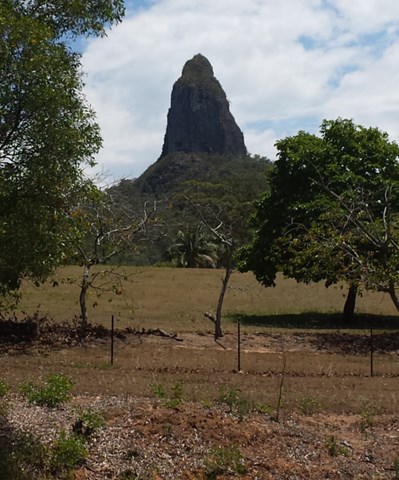
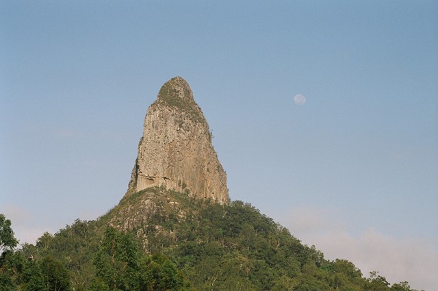
Coonowrin Circut (almost)
This track ALMOST makes it around the entire Coonowrin Circut, infact it is only a matter of 385mts that is blocked off by a gate and heaps of Private Property signs.
 9.5
km
one-way
3
hrs
9.5
km
one-way
3
hrs
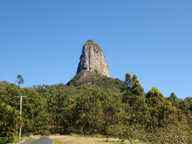
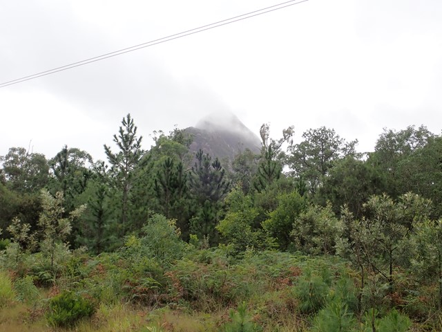
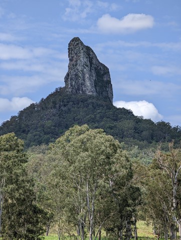
Mount Beerwah Base
This walk travels along tracks and roads that link to circumnavigate the base of Mour Beerwah. It gives great views of the mountain from different angles and its many faces.
 1.3
km
30
mins
1.3
km
30
mins
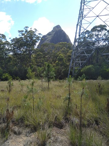
Mount Beerwah Western Boundary
Just a short stroll with glimpses of Mount Beerwah on your left. this track ended with no signage although we continued walking along the fire trail until we came out at a main fire trail near the power lines possibly called Connection Road. The extra walk would be aprox 1.5-2km each way which made the total walk about 1hr.
 2.4
km
one-way
59
mins
2.4
km
one-way
59
mins
Round Mountain
Southern Glass House Mountain just off Old Gympie Road, Elimbah. Land is council reserve.
 9
km
one-way
2.5
hrs
9
km
one-way
2.5
hrs
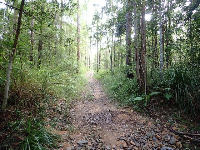
Escarpment Walking Track
Pass Chaelundi Falls. The first 6 km of the track is easy-medium. Much of the track is grass but isn't too hard to distinguish. Much of this area consists of tall gum trees etc. with blade grass below. The area is regularly maintained with controlled burning. Making the grass nice and fresh. The 9 km includes walking the last three km to the rest area continuing on the escarpment track. However the rest area can also be reached via Jordan's Trail which you have to cross. This trail is 1 km shorter to the rest area. The final three km of the escarpment track is rougher. There is evidence of echidnas raiding ant nests in many places along the track. Also leaves from the surrounding she oaks and sticks covering the track leaving the track quite loose in many sections. Walking the track in this direction includes much of the track being an uphill grade - particularly the last two or three km. You can return via the road which adds another 5 km to the track, or via Jordan's Trail, until you reach the escarpment track again, and then turn right to get back to camp. This walk would be a total of 17km and takes approximately four hours.