


Menu
A walk around the waterfront in Plymouth through Royal William Yard and around the Devil's Point.
Lookouts
Swimming
Toilets
Coastal
18m
Maximum Elevation
24m
Total Climb

Getting there
How do you get to the start of the walk?
Devils Point Carpark.
Maps
Which maps cover the area?
Maps of Plymouth
Route/Trail notes
A detailed description of the walk!
Follow the coast around until the royal marine barracks don't allow you to go any further. Once back at Durnford Street follow it inland and then left onto Royal William Road. Then onto Cremyll Street which will take you through the gates of Royal William Yard. Follow the main drag down to the back corner where you will find some stairs that will take you back up onto devil's point and to the carpark.
Permits/Costs
Do you need any permits? What's the cost?
Carparking costs
Other References
How can I find more info? Any guide books?
N/a
GPS Tracks
- No GPS available for this walk yet.

Easy
 2.61km return
 90mins
Lookouts
Swimming
Toilets
Coastal
Where
Click here to load this map.
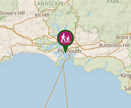 Map data © OpenStreetMap contributors. Terrain: © Geoscience Australia.
Comments
Nobody has commented on this walk yet. If you've done it then tick it off and add a comment.