
Loontitetermairrelehoiner Track
East Coast Tasmania


Menu
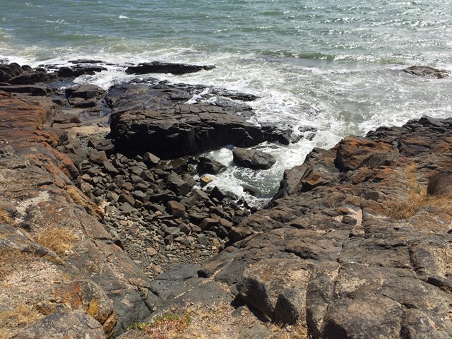
Named after the local band of Aboriginal people, this track leads around a rocky headland. Grand vista over Great Oyster Bay with the Freycinet peninsula as a backdrop. Shearwaters are nesting along the trail in summer.
Lookouts
Bird Watching
Picnic Facilities
Toilets
Coastal
10m
Maximum Elevation
20m
Total Climb

Getting there:
Tasmania-East Coast. Drive to the town of Swansea (jetty/ boatramp/ day use area)
Maps:
Which maps cover the area?
Route/Trail notes
A detailed description of the walk!
Permits/Costs
None.
Other References/Comments:
How can I find more info? Any guide books?
GPS Tracks
- No GPS available for this walk yet.
 2.3
2.3 45
45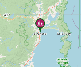
Comments