
Menu
Suggested searches
Your search found 115 results...

 500
m
return
500
m
return
 30
mins
30
mins
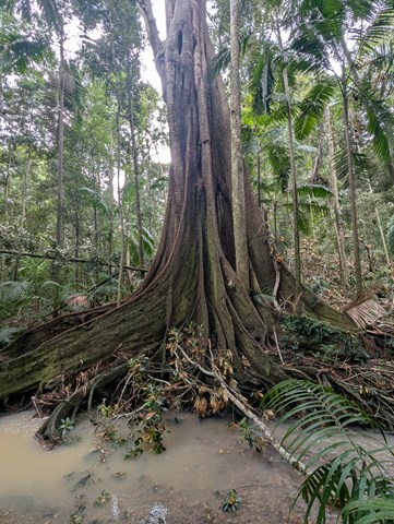
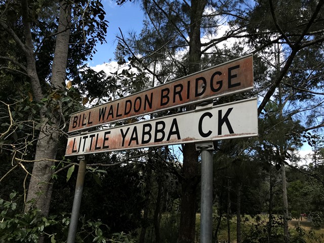
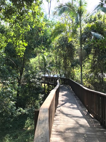
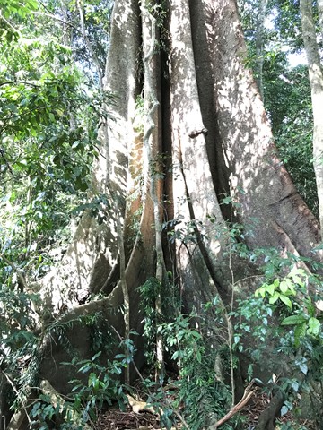
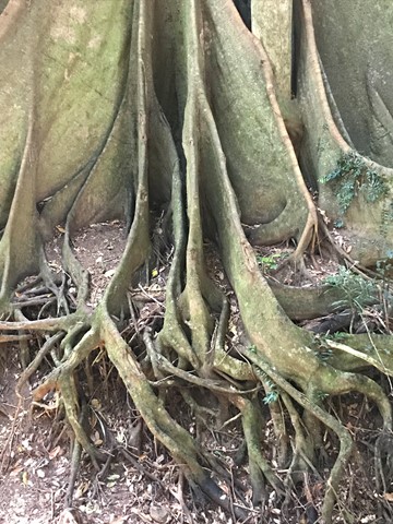
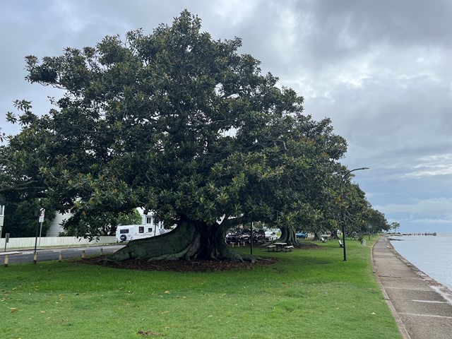
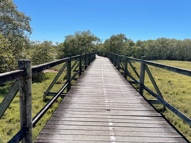
Fig Tree Walk
Conondale National Park
Short walk along a boardwalk, lots of fig trees and wildlife. From the picnic/ parking place you have to cross the bridge to reach the trail head.
 11.5
km
one-way
4
hrs
11.5
km
one-way
4
hrs
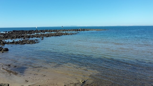
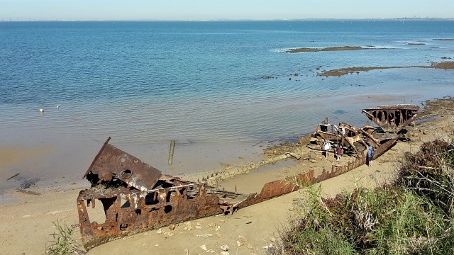
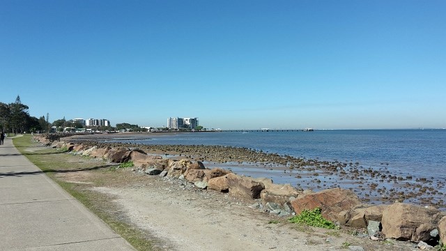
Moreton Bay Cycle Way (Woody Point to Scarborough section)
South East Queensland
Coastal track along sheltered beaches with eye-popping ocean vistas and fascinating hertiage sites.
 9.6
km
return
3
hrs
9.6
km
return
3
hrs
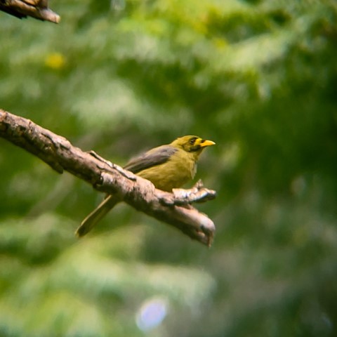
Imbil Brooloo Rail Trail
Sunshine Coast
Opened in July 2019, this rail corridor has thankfully been restored to provide a beautiful track for walkers, cyclist and horse riders. A highlight is its passage through Bell Bird Park, where a colony of more than 120 Bell Birds provide a continual chorus for visitors.
 11
km
one-way
4
hrs
11
km
one-way
4
hrs
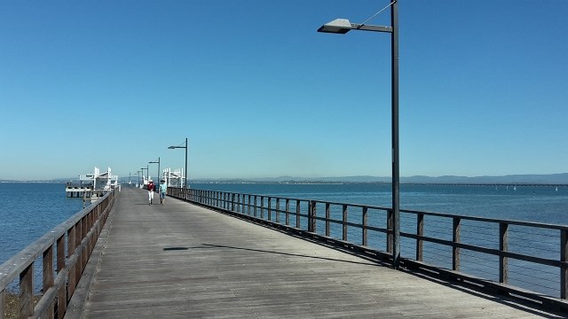
Moreton Bay Cycle Way (Shorncliffe to Woody Point section)
South East Queensland
Enjoy the sea breeze while taking a stroll from the Frank Doyle Park (Shorncliffe) along the shoreline of Bramble Bay, across the Ted Smout Memorial Bridge and into Woody Point Pelican Park.
 2
km
return
45
mins
2
km
return
45
mins
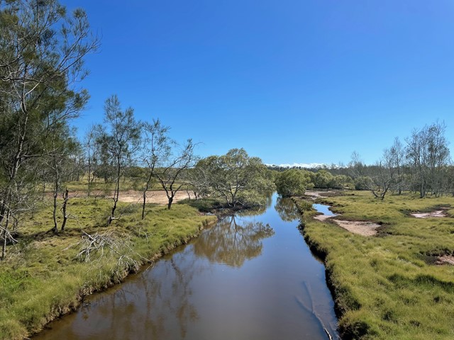
Billai Dhagun Circuit
Brisbane City Council Local Walks
Billai Dhagun Circuit is part of the Boondall Wetlands, and after rain this walk can get quite wet. It is still quite an easy walk though. The name means 'Place of She-oaks', and you will see plenty of these here. There is a bird hide along the walk so that you can watch the water birds at the opening to Nundah Creek.
 8.4
km
return
8.4
km
return
Boondall Wetlands Bikeway
Brisbane City Council Local Walks
Walking and bike track leading from Boondall Wetlands Environment Centre to Nudgee Road.
 1.5
km
return
30
mins
1.5
km
return
30
mins
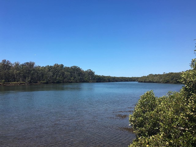
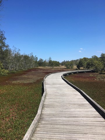
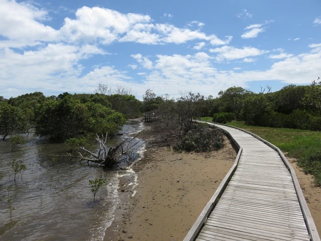
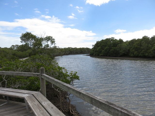
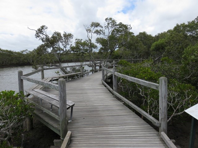
Tabbil-ban dhagun
Brisbane City Council Local Walks
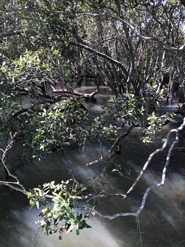
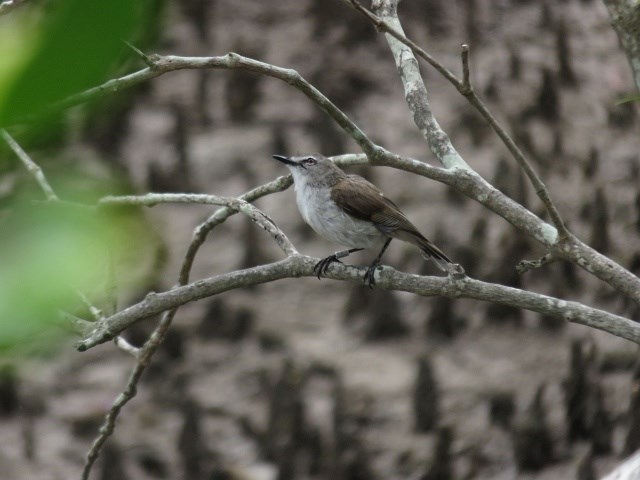
This track is in the Boondal wetlands and passes through mangroves fringing the shores of Moreton Bay and the banks of Nudgee Creek. Birdlife abounds in the mangroves and a birdhide overlooks the tidal flats at the creek mouth. The boardwalk allows you to explore the mangroves at anytime. but make sure you carry repellent as the sandies can be murder. The name means "Place of salt water"
 1.3
km
return
1
hr
1.3
km
return
1
hr
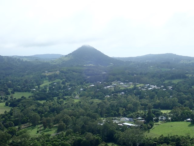
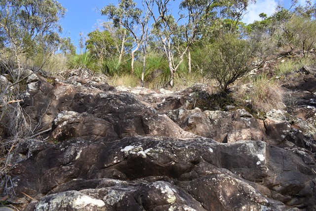
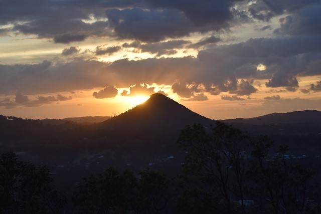
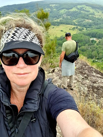
Mt Cooran
Sunshine Coast
A lesser known peak, just north of Mt Cooroora, Mt Cooran hosts exceptional 360° views; Sunshine Coast, Blackall Range, Gympie and Woondum National Park to the north and east to the coast.
 3
km
return
45
mins
3
km
return
45
mins
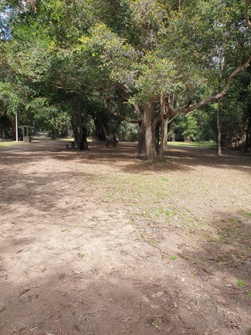
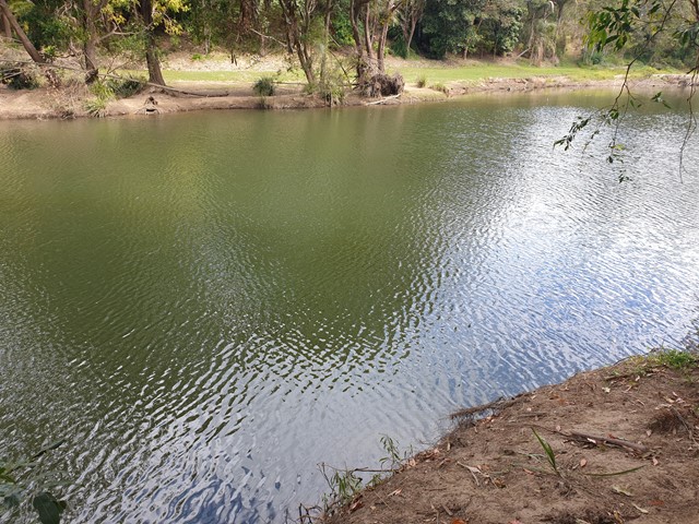
Bunya Crossing Reserve
South East Queensland
There are several easy short dog-friendly walks in the area (about 2kms in total). There is a lovely shaded picnic area and a swimming hole with rope swing. It is not so much a picturesque walk but a good place to take the family for a relaxing picnic and to take your dog for a stroll and swim. Gates close at sunset.
 2
km
30
mins
2
km
30
mins
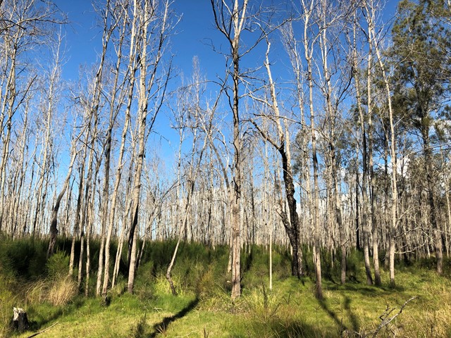
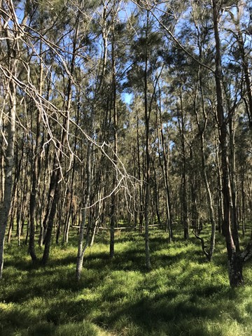
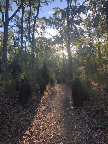
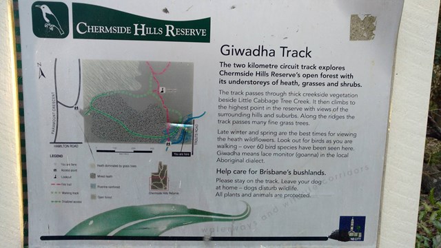
Giwadha Track (Chermside Hills Reserve)
Brisbane City Council Local Walks
This circuit track explores the Chermside Hills Reserves' open forest with its understorey of heath, grasses and shrubs. The track passes through thick vegetation beside Little Cabbage Tree Creek and climbs to the highest point in the reserve (Spider Hill) with views of the surrounding hills and suburbs.
Grade: medium, steep hills
Suited to: bushwalking, birdwatching, flora walks
Habitat: open eucalypt forest
Must: a sunset or sunrise walk to Spider Hill for amazing views