
Menu
Suggested searches
Your search found 510 results...

 2.3
km
one-way
2.3
km
one-way
 30
mins
30
mins
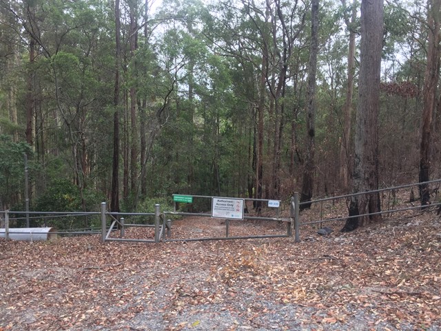
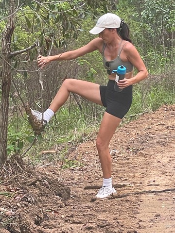
Neranwood Multi Use Trail
South East Queensland
The trail begins at the end of Little Nerang road and runs along the Southern portion of the Tallai range before running down it's Western flanks above Advancetown Lake (Hinze Dam) to Gold Coast Springbrook Road.
 8.1
km
return
2.5
hrs
8.1
km
return
2.5
hrs
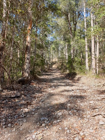
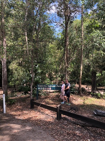
Dularcha NP - Roses Circuit
Sunshine Coast
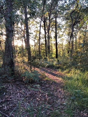
This multi-use recreation trail passes through dry sclerophyll forest and rainforest gullies and includes some views south to the Glass House Mountains from the top of the ridge (206m). Eucalypt forests and riparian areas with flooded gums, cabbage tree palms and rainforest plants feature here and provide habitats for a diversity of wildlife. Birdwatchers will enjoy the diversity of birds along the trail early and late in the day. Definitely take a copy of the map or a GPX file on GPS as lots of crossing tracks which can be confusing
 13.4
km
return
4
hrs
13.4
km
return
4
hrs
Ewen Maddock Dam - Trail 1
Sunshine Coast
This is a great family walk. The first part follows the edge of the lake, while the remainder moves out into the surrounding woodland, where you will see a mixture of Rough, Scribbly and Paperbark trees. There is plenty of bird life both on the dam and in the woodland. The path is generally shady and can be muddy after rain, with parts of it shared with bikes and horse riders.
 1.3
km
return
40
mins
1.3
km
return
40
mins
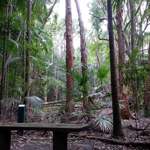
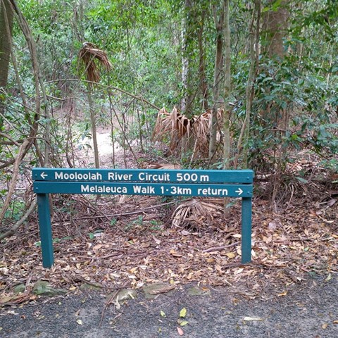
Melaleuca Trail, Jowarra Section
Sunshine Coast
This is part of the Jowarra Section of the Mooloolah River a separate section of this park to be accessed via the Steve Irwin Way off the Bruce Hwy ( caloundra off ramp ) turn right at traffic lights into the Information Centre Car park ( there's also Daisy's Restaurant ) in the middle of the car park you will find the entrance of park leading to both walks.
 500
m
return
20
mins
500
m
return
20
mins
Mooloolah River Circuit
Sunshine Coast
This is part of the Jowarra Section of the Mooloolaha River a separate section of this park to be accessed via the Steve Irwin Way off the Bruce Hwy ( caloundra off ramp ) turn right at traffic lights into the Information Centre Car park ( there's also Daisy's Restaurant ) in the middle of the car park you will find the entrance of park leading to both walks.
 4.5
km
return
2
hrs
4.5
km
return
2
hrs
Bimboolba Lookout via Illinbah Track
Binna Burra
A side track from the Illinbah track up to where a lookout on the old graded walk system used to be
5
km
return
90
mins
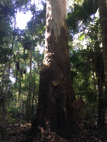
Hinterland Regional Park
Gold Coast
A series of several short tracks which can make up a decent distance. A beautiful regional park situated in Mudgeeraba. The parklands cover 62 hectares and are a great location to undertake a range of recreational activities, or to just sit back and enjoy nature.
This parkland was the first Mudgeeraba land to be settled by Europeans in 1869. The original vegetation has been highly modified in the past 140 years as a result of: clearing timber cutting for sawmills and fence posts and rails, grazing by beef and dairy cattle, construction of water pipelines and power lines, invasion by introduced pasture legumes and escapees from gardens, and dam construction.
 6
km
return
3
hrs
6
km
return
3
hrs
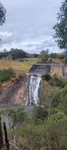
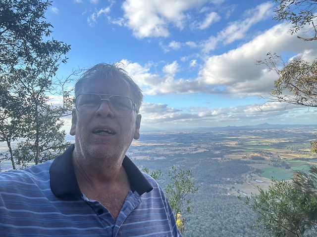
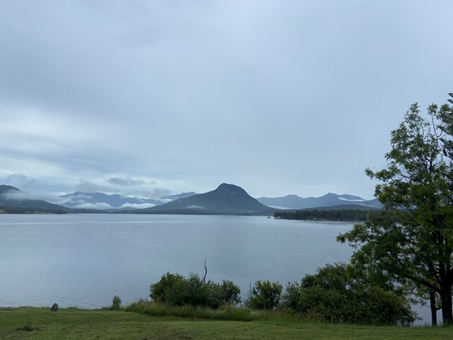
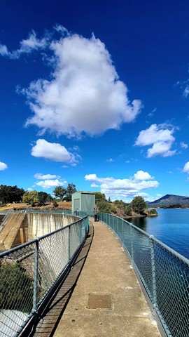
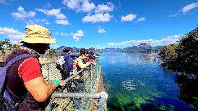
Mount Edwards
Moogerah Peaks National Park
This hiking track takes you to the summit of Mt Edwards, the taller, conical-shaped peak beside Moogerah Dam. This trail crosses the dam wall then leads to the top the mountain with an elevation gain of almost 500m to really get your heart pumping. There is a lookout part-way up the track with views of Little Mt Edwards/Reynolds Creek below the dam wall, while the lookout at the summit faces north-east towards Brisbane and the Fassifern Valley.
Officially listed as Grade 5/Very Hard difficulty (unsigned trail, loose/rocky surface, some tree falls/overgrown sections + steep incline), this trail is suitable for walkers with a moderate-high fitness level who are confident and well prepared (wear appropriate shoes, take plenty of water etc.).
 6.6
km
return
2
hrs
6.6
km
return
2
hrs
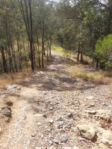
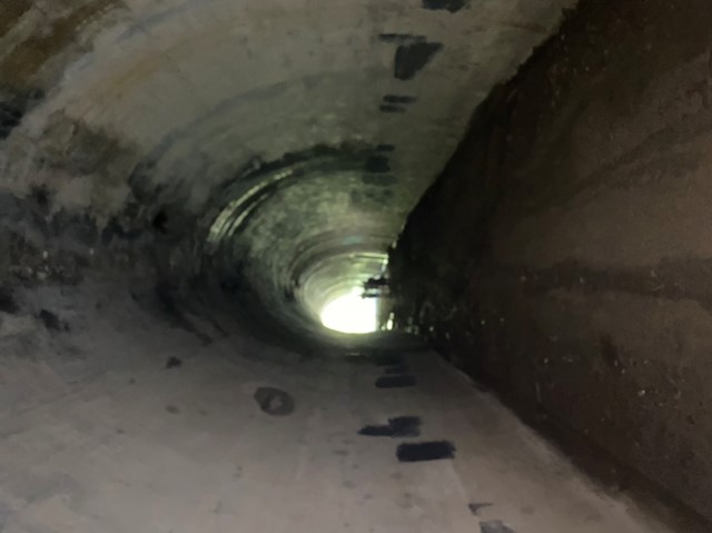
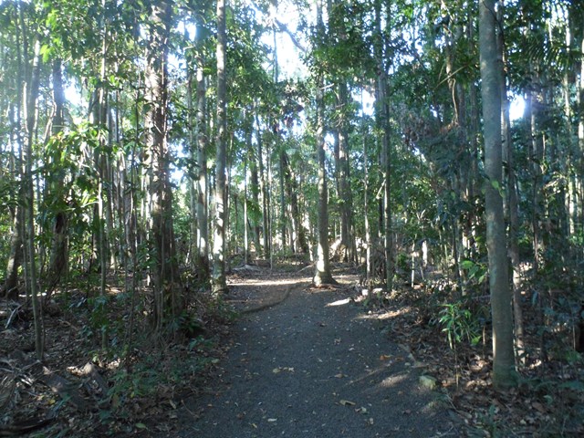
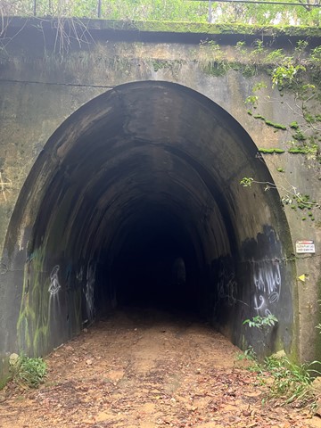
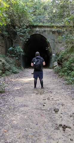
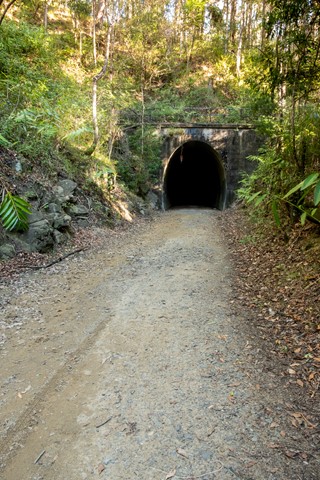
Dularcha NP - Tunnel Track
Sunshine Coast
Walk, ride or cycle this track, which takes you through the heritage listed railway curved tunnel (94m). Eucalypt forest and riparian areas with flooded gums, cabbage tree palms and rainforest plants feature here and provide habitats for a diversity of wildlife. Birdwatchers will enjoy the diversity of birds along the trail early and late in the day.
 2
km
return
1
hr
2
km
return
1
hr
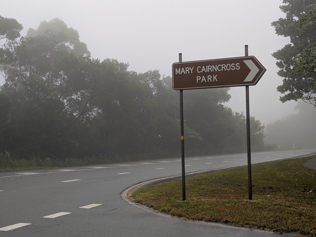
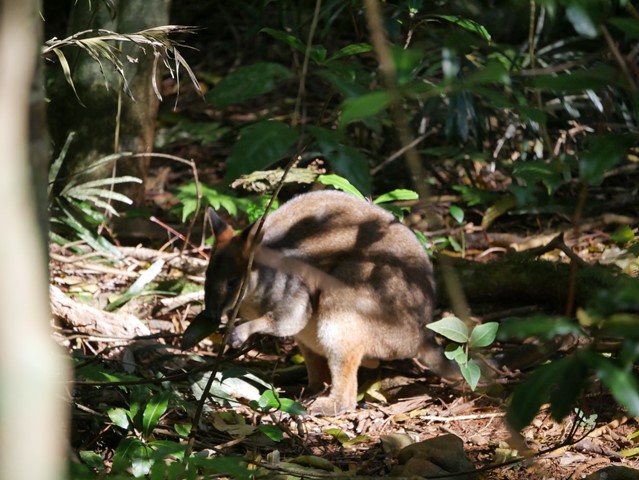
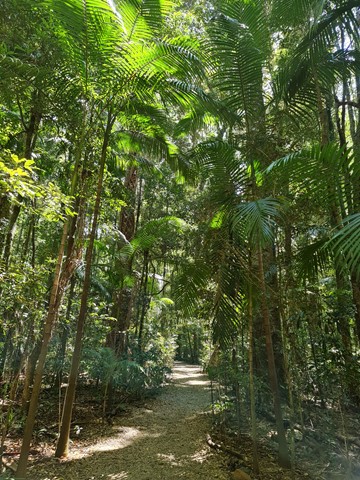
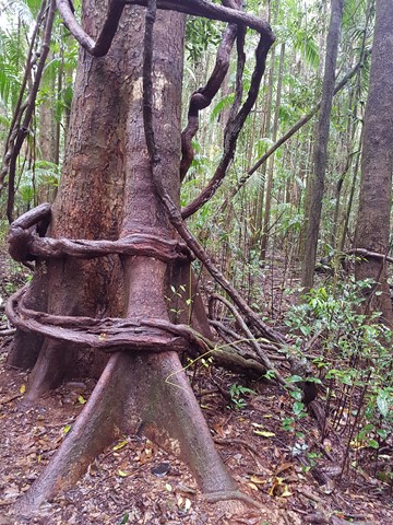
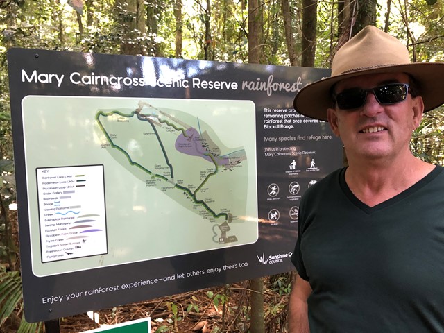
Mary Cairncross Reserve
Sunshine Coast
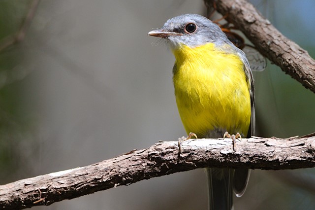
This walk never fails to please. At a very leisurely stroll you can stop and enjoy the rainforest and spot the pademelons hidden in the bush. Best time to do the walk is early in the morning to get the pademelons and birds and to avoid the tourist buses.
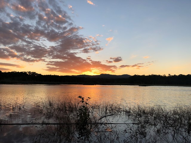
Views across the road overlooking the Glass House Mountains on a clear day are spectacular.