
Menu
Suggested searches
Your search found 510 results...

 1.7
km
return
1.7
km
return
 75
mins
75
mins
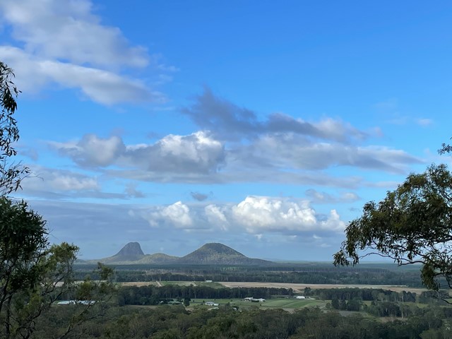
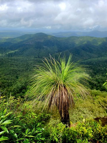
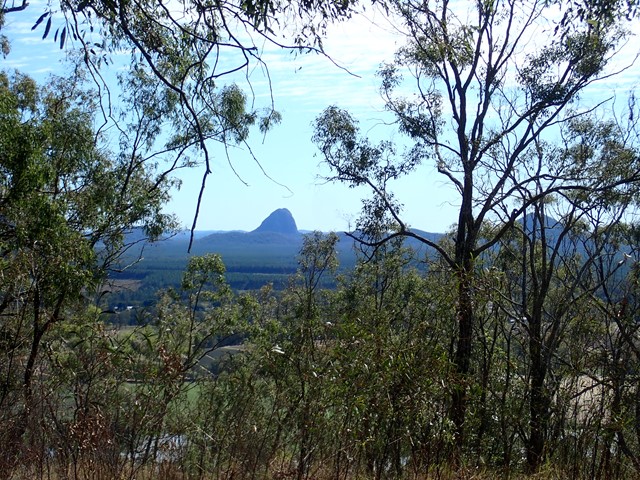
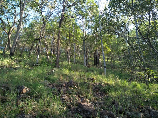
Mt Elimbah (The Saddleback)
Glass House Mountains National Park
At only 120m high this is an easy climb to the top of one of the two most southerly of the Glass House Mountains. The terrain is mostly rocks with grass or dense bush but has a surprisingly good 360° view from the top.
 1.5
km
return
45
mins
1.5
km
return
45
mins
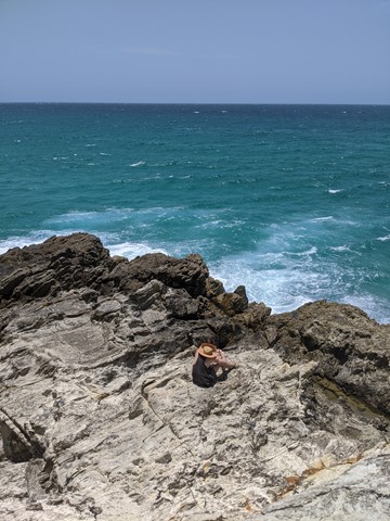
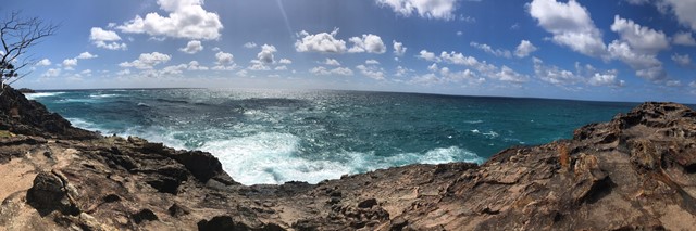
North Gorge Walk (Point Lookout)
North Stradbroke Island - Minjeeribah
Straddie’s impressive headland walk called the North Gorge walk is located at the north western end of Point Lookout and is the best vantage point on the island to watch the whales and marine life pass right before your eyes.
The walk encompasses the best of both worlds, with its raw and jagged headland to one side, and natural bushland on the other. Known for its best viewing experience of migrating humpback whales, the Gorge Walk also has a unique rock formation called the ‘Blow Hole’, similar to that of a humpback whale. The Gorge Walk is a North Stradbroke Island icon and reveals just how pristine and unspoiled the island truly is.
Access to the Gorge Walk is on Moloomba Road at Point Lookout, opposite Fishes Cafe and the Oceanic Gelati Shop.
 2
km
return
30
mins
2
km
return
30
mins
Veresdale Walk
South East Queensland
King Coolum Reserve - A short walk with a few steep hills leading to a picnic area, with nice views over the scenic rim.
 1
km
return
30
mins
1
km
return
30
mins
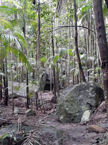
Piccabeen Walk
D'Aguilar National Park
Wander along this trail to discover D’Aguilar National Park’s oldest trees—Sydney blue gums—and lush groves of piccabeen palms.
 13
km
return
3
hrs
13
km
return
3
hrs
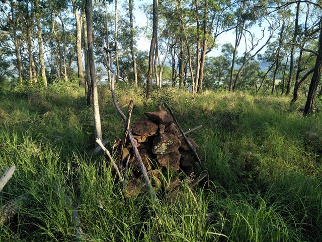
Somerset Trail
D'Aguilar National Park
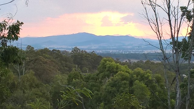
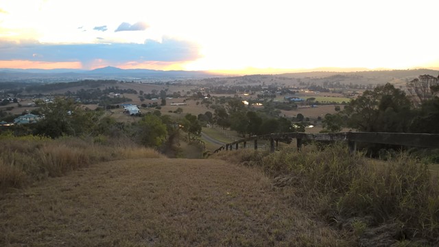
A pleasant circular walk through open and pine forest as well as pockets of rainforest. At around the halfway point, there are a series of lookouts over Somerset Dam to the north and Lake Wivenhoe to the south, with a backdrop of the far mountain ranges.
This area was heavily logged, hence the saw mill at The Gantry and evident by the 'plank' groves on some of the old tree stumps.
 2.5
km
return
2
hrs
2.5
km
return
2
hrs
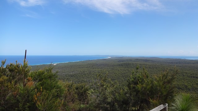
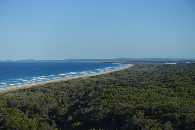
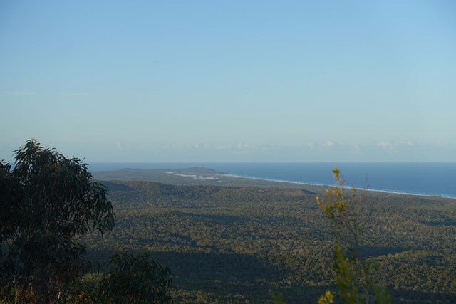
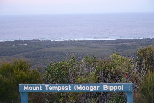
Mount Tempest
Moreton Island National Park
At 285 metres high, Mount Tempest is the highest stabilised sand dune in the world. The walk to the top of Mount Tempest is a memorable one, with sweeping views of Moreton Bay and the island’s length a spectacular experience. The wildflowers are nice in spring and humpback whales can be spotted migrating in late winter and spring.
 1.2
km
return
75
mins
1.2
km
return
75
mins
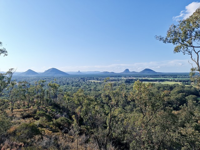
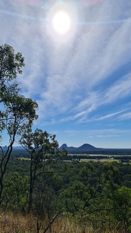
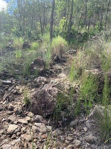
Mt Miketeebumulgrai
Glass House Mountains National Park
Mt. Mike as it is known is twice as tall as its neighbour Mt Elimbah with a fast but steep ascent through eucalypt forest nested on scree and leaf litter-covered slopes. The views from the top are not great but what can be seen is the extensive horticulture on the plains below, particularly of strawberries and pineapples.
 2.5
km
return
1
hr
2.5
km
return
1
hr
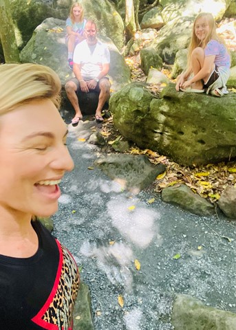
Sandy Creek Circuit
Tamborine National Park
This walk features lush rainforest with towering trees emerging through the canopy and at the falls, eucalypt forest. It follows Sandy Creek out to the western lookout of Cameron Falls, where on a clear day you can enjoy views across the valley to Mount Flinders and the southern suburbs of Brisbane.
This Track travels close to steep cliff edges, so stay on the designated track and behind the fences.
The falls are aligned such that under the correct conditions a rainbow will appear. It has been seen in the afternoon in late July.
Easy and accessible for kids.
 1.5
km
return
1
hr
1.5
km
return
1
hr
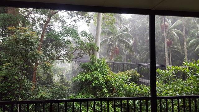
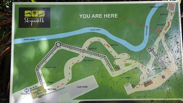
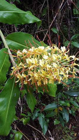
Tamborine Rainforest Skywalk
South East Queensland
A spectacular elevated walkway through the beautiful middle and upper canopies of the rainforest. The walkway is a stable, high-tech steel structure enabling visitors to explore these canopies in a safe and secure way. It ascends gradually through the lower canopy and follows points of interest including rock pools and tumbling creeks, a butterfly lookout, local history enclosure and sheltered rest areas along the way until reaching the amazing Cantilever. This is a 40 metre long span soaring 30 metres above the valley, with spectacular views over the creek and the rainforest canopies below.
 8.7
km
one-way
2.5
hrs
8.7
km
one-way
2.5
hrs
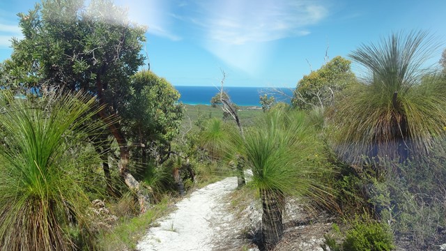
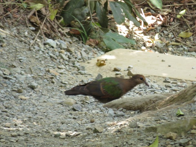
Telegraph Track
Moreton Island National Park
Park at Mt Tempest. Listed as a 4-6 hour return hike but i completed it in 2.5 hours as a fit solo walker.
All sand being located on Moreton Island and you certainly work the calves as a result! Some elevation but nothing major. Some good views to the Pacific Ocean when your high enogh on some of the climbs.
Great walk full of birds and lizards running around the place with no sight of snakes the day I walked. Good thing to do when tour living on the island 🌴