Menu
Suggested searches
Your search found 142 results...

 4
km
4
km
 90
mins
90
mins
Simpsons Falls and Eugenia Circuit
Mt. Coot-tha
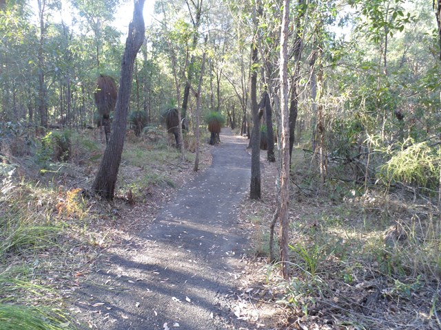
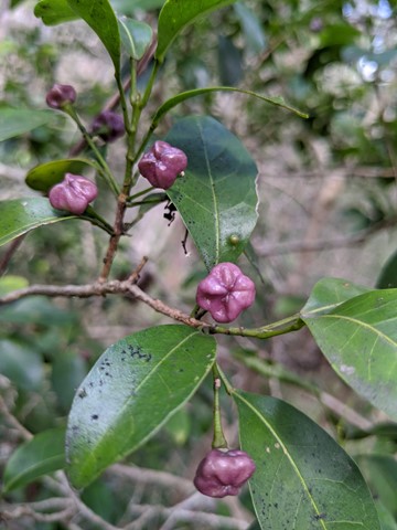
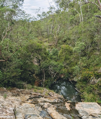
This track begins at Simpson Falls Picnic Area. It is excellent for wildflower viewing in late winter and spring when the golden wattles and purple hoveas of the open forest understorey burst into bloom. Links with the Eugenia Circuit

 2
km
40
mins
2
km
40
mins
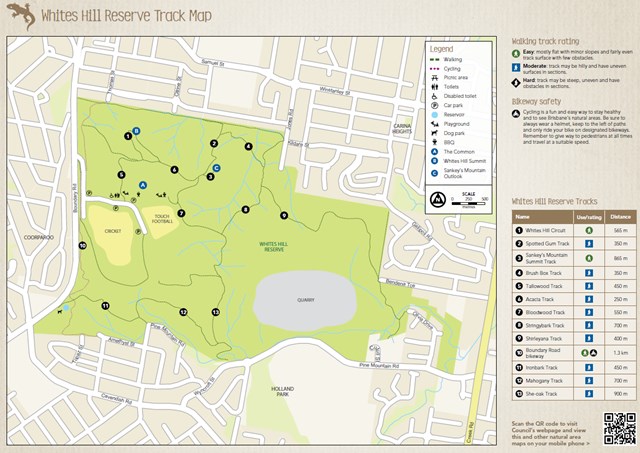
Whites Hill Circuit
Brisbane City Council Local Walks
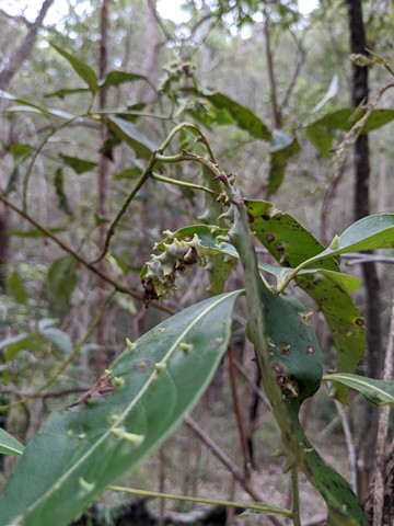
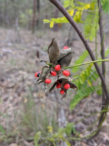
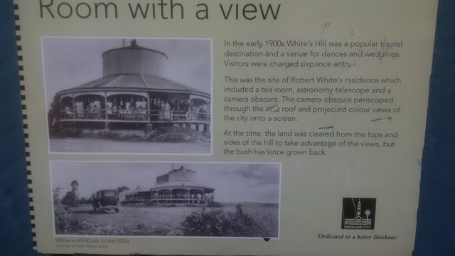
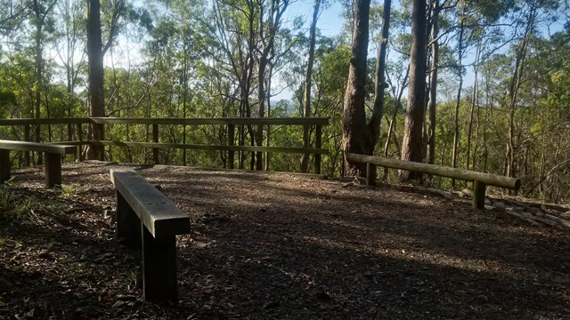
A nice urban bushland walk to a peak and lookout to Brisbane's CBD. A few tracks that can be combined to a loop.
 5.3
km
return
1
hr
5.3
km
return
1
hr
Litchfield Track
Mt. Coot-tha
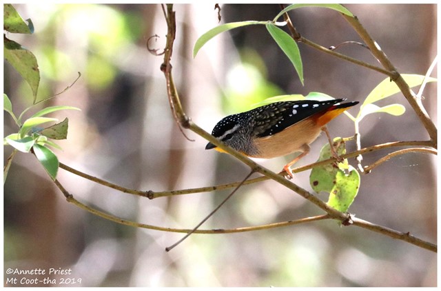
This track is 2.5km one way and is graded as moderate by Brisbane City Council and is well maintained but can have lose stones. The track winds through bushland parallel with the road and is easy to traverse. You will see a variety of Australian native plants and birds. A variety of people, at different stages of trail walking ability, use this track including trail runners.

 4.2
km
return
90
mins
4.2
km
return
90
mins
Honeyeater Track
Mt. Coot-tha
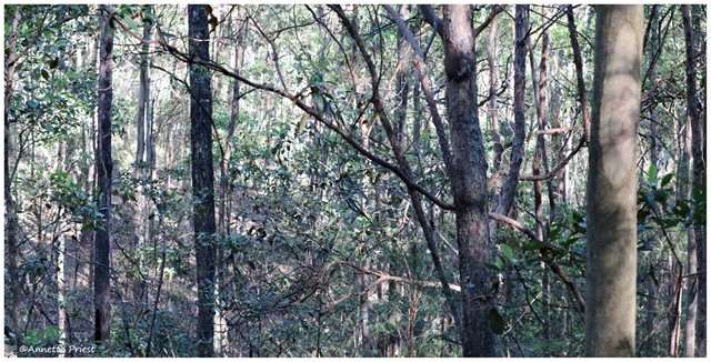
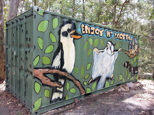
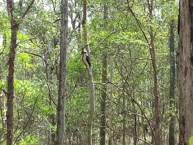
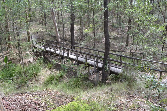
An interesting walk from near Mt Cootha summit down to Fleming Rd, the Environmental centre and back up to the start via Chapel Hill Rd Trail. You will see plenty of water dragons, butterflies and birdlife.
 3.4
km
return
1
hr
3.4
km
return
1
hr
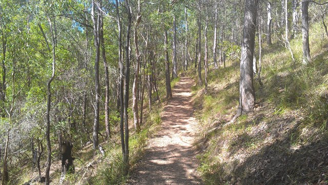
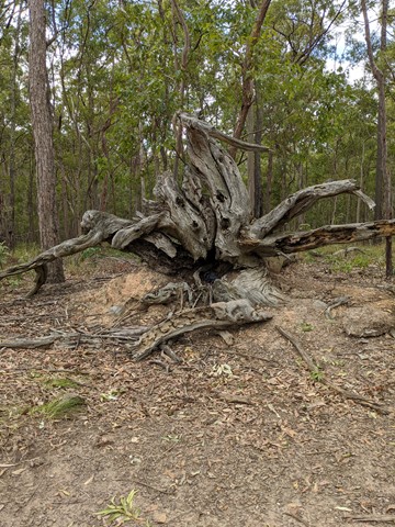
Bloodwood, She-oak, Mahogany and Ironbark Loop (Whites Hill Reserve)
Brisbane City Council Local Walks
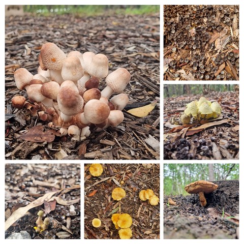
Lovely Aussie scrub bush walk. Keep your eye out for koalas.
 7
km
return
2
hrs
7
km
return
2
hrs
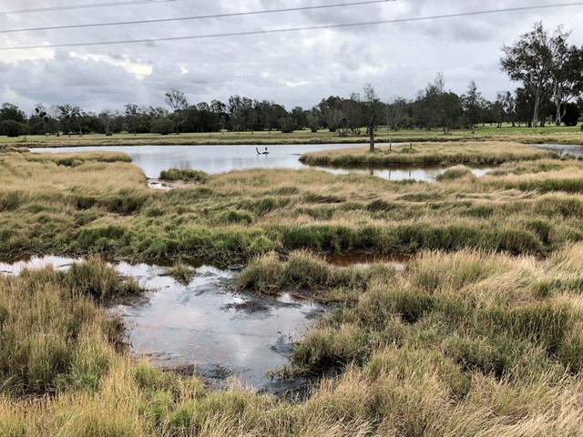
Jim Soorley Bikeway and Wetlands
South East Queensland
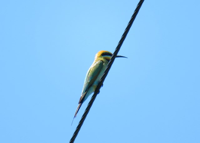
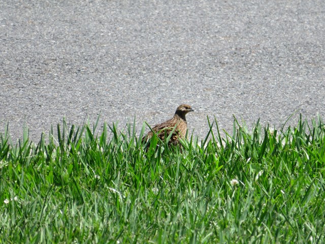
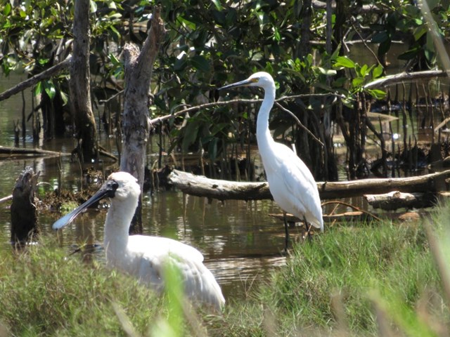
A shared bike way along the Schulz Canal into a wetland area with plenty of bird life.

 2.8
km
return
40
mins
2.8
km
return
40
mins
She-Oak Track (Whites Hill Reserve)
Brisbane City Council Local Walks
Enter via Pine Mountain Road, Follow the signs to the summit and look at the views over South Brisbane
1
km
return
10
mins
Grass Tree Track
Brisbane City Council Local Walks
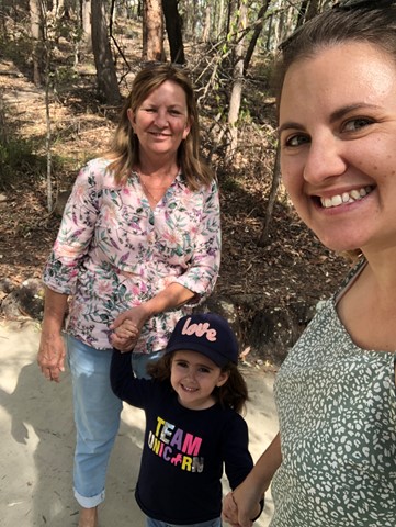
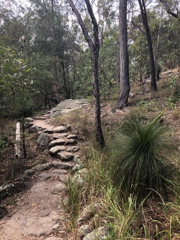
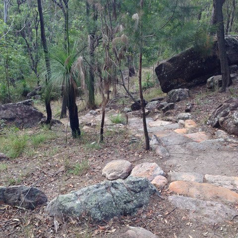
Beautiful uphill track, starting at the end of Cheval St, Tarragindi, that joins onto the Toohey Ridge Track.
 770
m
15
mins
770
m
15
mins
Creek Track
Brisbane City Council Local Walks
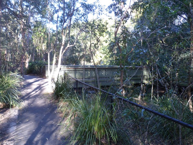
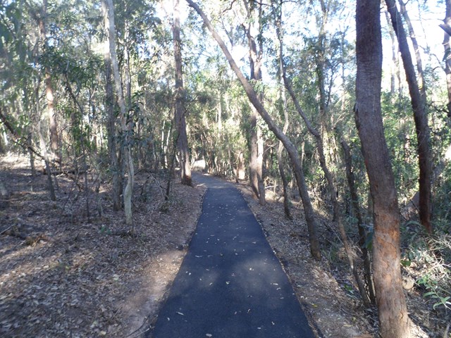
This track leads you to a creek platform that overlooks Downfall Creek. You are likely to see waterhousia and lomandra. Common crow butterflies feed on monkey vine and red ash. Picnic area available at entrance Grade: easy Suited to: bushwalking Habitat: dry riparian vine forest Must: spend time at the creek platform listening for birds and watching the creek life
 1.5
km
27
mins
1.5
km
27
mins
Xanthorrhoea Track
Brisbane City Council Local Walks
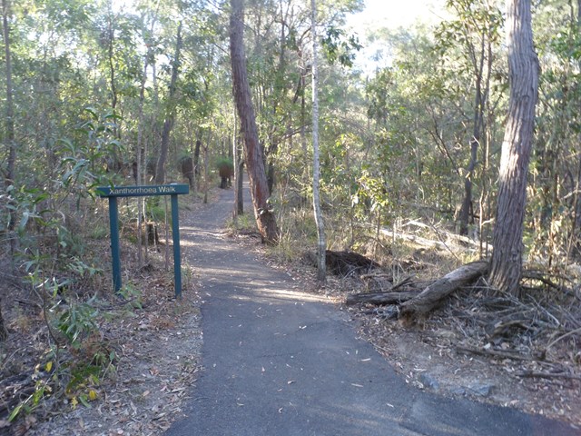
This track passes through mixed heath and woodland species including banksias, grass trees and heath peas. You are likely to see kookaburras, forest kingfishers, red-backed wrens, dollarbirds, lizards and geckoes. Picnic area available at entrance. Grade: easy, but it’s hilly Suited to: birdwatching and flora walks Habitat: heathland Must: walk this track in September or at dusk Recommendation: combine this track with the Banksia Track for a two hour circuit walk, Pomax Track for another two hour walk or all three for a three hour walk