


 342 Cape du Couedic Hike (GPX)
 2.2
2.2 1
1- Kangaroo Island Widlerness Trail - Sanderson Section - Day 3 (Flinders Chase National Park)
- Weirs Cove Hike (Flinders Chase National Park)
- Remarkable Rocks (Flinders Chase National Park)
- Kangaroo Island Wilderness Trail - Grassdale Day 4 (Flinders Chase National Park)
- Kangaroo Island Wilderness Trail - Rocky River - with new start point - Day 1 (Flinders Chase National Park)
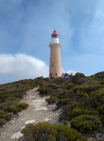
Cape du Couedic Hike
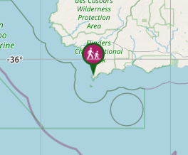
Flinders Chase National Park
Menu
GPS Tracks
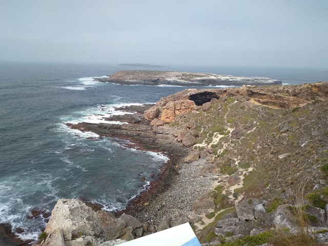
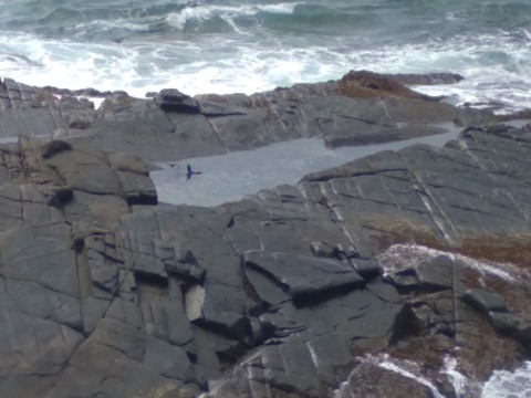
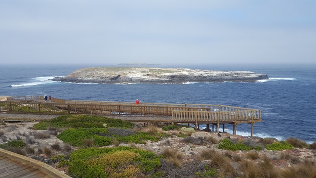

Departing from Cape du Couedic Lighthouse, this hike provides spectacular coastal cliff top views as it meanders between the Lighthouse and Admirals Arch. Discover the varied and impressive techniques that plants use to grow here. Find out about Aboriginal connections with Cape du Couedic and how they survived in this harsh environment. Contemplate the drama of being shipwrecked here 110 years ago. Look for the water pool built by the lighthouse builders and watch for those who still use it today.
Lookouts
Toilets
No Dogs Permitted
No Camping Permitted
Coastal
86m
Maximum Elevation
73m
Total Climb
Getting there:
Travel from Penneshaw or Kingscote to the airport junction. Here, you can take the northern route in on the Playford Highway via Parndana and then onto West End Highway, or the southern access along South Coast Highway via Vivonne Bay. In both cases, you reach the Ranger Station at the entry to the park. From here you travel down Cape du Couedic Road to the Lighthouse car park.
Maps:
Kangaroo Island Walks and Hikes
Route/Trail notes:
From the car park, take the track to the Lighthouse and from there continue down through the scrub before turning left (signposted) to Fur Seal Lookout. Backtrack to the sign and then down to the walkway and Admirals Arch.
Return by the same route.
Permits/Costs:
A permit is required to enter Flinders Chase National Park - $11 per person (Apr 2021), which can be purchased online or at the Ranger Station as you enter the park.
Online Flinders Chase National Park Permit Purchase
Other References/Comments:
In the fires of late 2019, early 2020, 96% of Flinders Chase National Park was destroyed along with its wildlife. It is making a recovery (see views from Bunker Hill), all be it very slowly and will take decades to get back to its former glory.
As of April 2021, there is no camping and all the off road tracks are closed. Access is only available by sealed road to the Cape, Admirals Arch, Weirs Cove and the Remarkable Rocks.
GPS Tracks
Where
Click here to load this map.
Comments