
Menu
Popular Walks
-
Devil's Peak Trail
(6 ticks) -
First Falls Walk
(5 ticks) -
Mt Ohlssen Bagge
(4 ticks) -
Remarkable Rocks
(4 ticks) -
Prospect Hill
(3 ticks)
Summary
South Australia covering some of the most arid parts of the country.
Popular Walks
-
Devil's Peak Trail
(6 ticks) -
First Falls Walk
(5 ticks) -
Mt Ohlssen Bagge
(4 ticks) -
Remarkable Rocks
(4 ticks) -
Prospect Hill
(3 ticks)
Sub-Regions
Other Information
...
Fees/Permits
Quite a few of the national parks in South Australia have entry fees.
https://www.parks.sa.gov.au/book-and-pay
Contact details
National Parks and Wildlife Services South Australia
https://www.parks.sa.gov.au/
Walking SA
https://www.walkingsa.org.au/
Walks in Flinders Range National Park

 5.6
km
return
5.6
km
return
 4
hrs
4
hrs
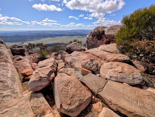
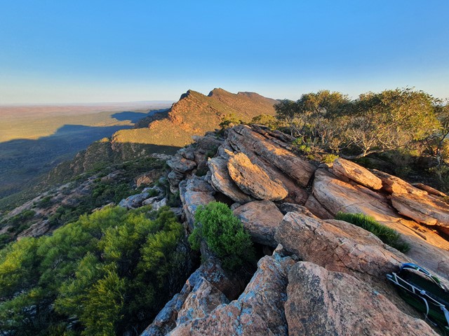
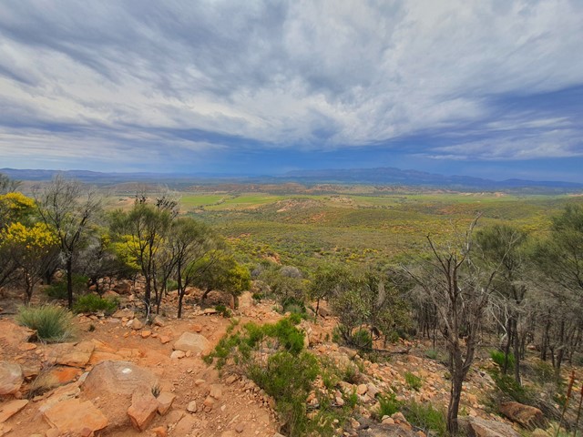
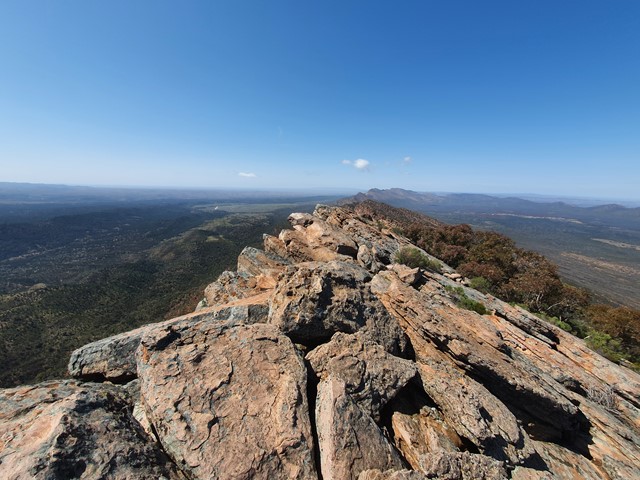
Mt Ohlssen Bagge
A quick steep ascent up Mt Ohlssen Bagge which has amazing views of the Flinders Ranges especially during sunset and sunrise.
 13.4
km
return
4
hrs
13.4
km
return
4
hrs
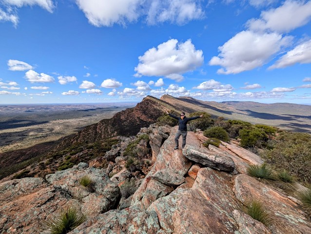
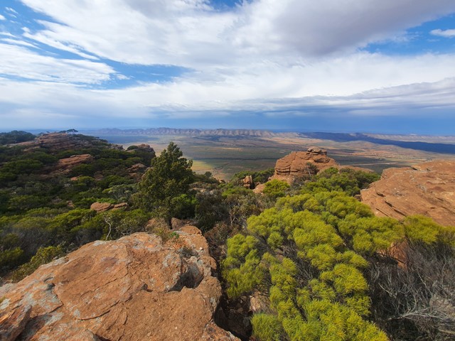
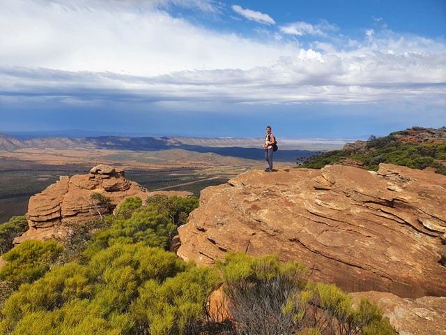
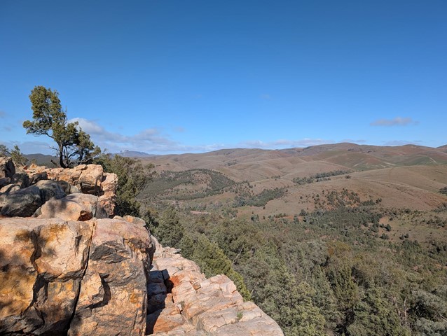
Rawnsley Bluff
A steep ascent followed by a nice flat walk along the top of the bluff to an incredible outlook.
 14.6
km
return
6
hrs
14.6
km
return
6
hrs
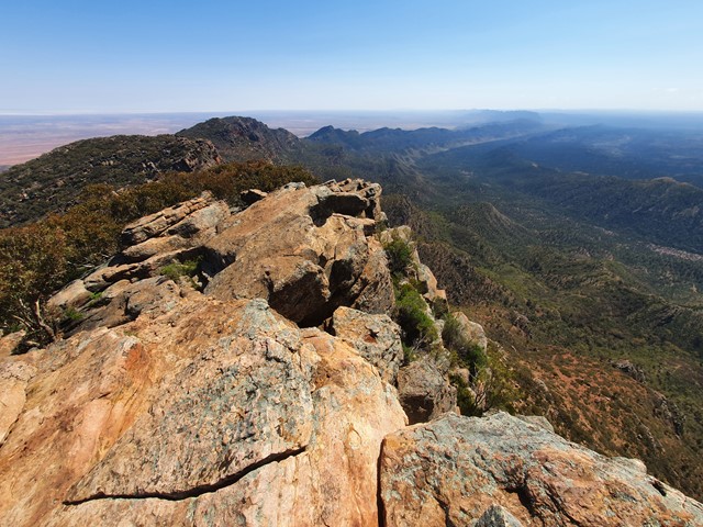
St Marys Peak
An adventure to the top of the highest mountain in the Flinders Ranges which hosts fantastic views of the surrounding Wilpena Pound.
 5.2
km
return
90
mins
5.2
km
return
90
mins
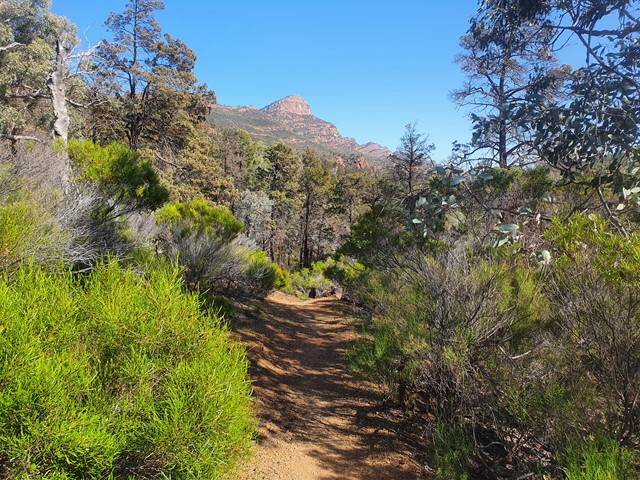
Warren Gorge Loop Trail
The Warren Gorge walking trail provides excellent examples of vegetation in the Flinders Ranges. You will pass through different micro-climates which are evident by the change in vegetation and geology. The trail takes you to a lookout locally known as Smoke-oh Lookout. In Australia, the term Smoke-oh is a commonly used colloquial name fora morning or afternoon tea break or other break in the working day, making it an ideal name for this lookout, which provides an excellent spot to stop and rest on the trail.
The Warren Gorge Loop Trail is 5.2kms long and takes between 1.5- 3 hours to complete. It is easy to moderate depending on your level of fitness. There are some loose surfaces and short steep parts.
Walks in Gammon Ranges National Park
Weetootla Campground Trailhead
There are three locations in the Vulkathunha-Gammon Ranges National Park where you can access walks in the Weetootla Hike Network.
Weetootla Campground Trailhead – 7.1km from Balcanoona. Turn off the Arkaroola Road at 1.9km from the signpost at Balcanoona. The track is 2WD accessible.
McTaggart Track – 18.2km from Balcanoona. Turn off the Arkaroola Road at 8.2km from the signpost at Balcanoona. Continue approximately 10km along the 4WD track to reach the checkpoint.
Grindell’s Hut Trailhead – 26.5km from Balcanoona. Turn off the Arkaroola Road at 8.2km from the signpost at Balcanoona. Continue for 17km along the signposted 4WD track.
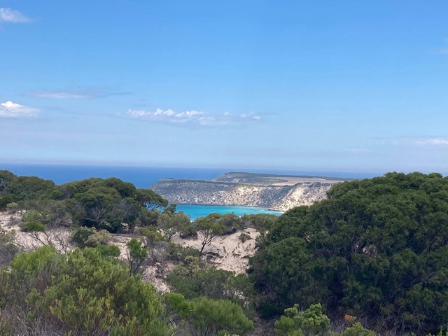
Walks in Kangaroo Island
 700
m
return
30
mins
700
m
return
30
mins
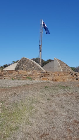
Flagstaff Hill
Flagstaff Hill, with its artistic monument, celebrates the memory of the first four ships to arrive at South Australia's first official settlement at Reeves Point in 1836. Great views of the Reeves Point and Beatrice Inlet.
 600
m
return
45
mins
600
m
return
45
mins
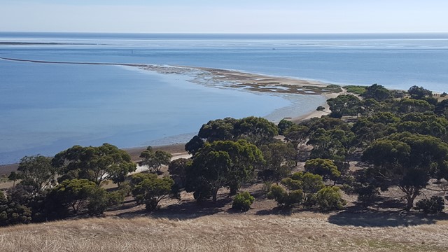
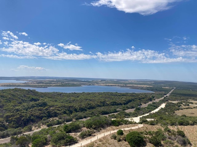
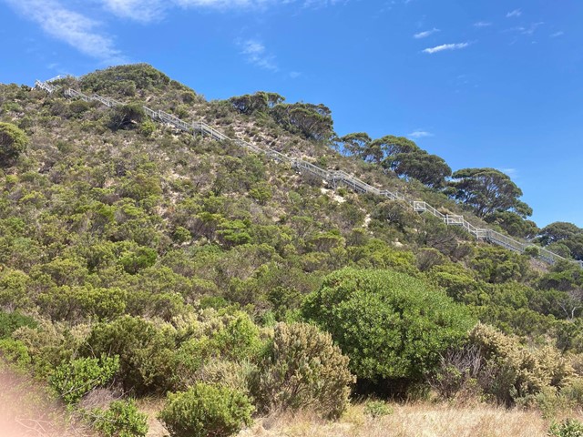
Prospect Hill
59 steps and 346 stairs takes you up this sand hill to the viewing platform with its 360° view of the eastern end of Kangaroo Island, particularly American River and Pelican Lagoon.
On 4th April 1802, Matthew Flinders climbed and named this hill as detailed on a number of information board.
Walks in Shepherds Hill Recreation Park
2.2
km
return
1
hr
Seaview Loop
Capture views across of the Adelaide Plains and the coast on this loop through Sheperds Hill. The fire trail is popular with dog walkers and running groups though it does have some steep and loose sections.
6.1
km
return
2.5
hrs
Viaduct Track Loop
Visit the old railway tunnel and viaduct remains in Shepherds Hill Recreation Park and adjacent Watiparinga Reserve. The walk starts on the River Red Gum Loop before branching onto the Viaduct Track.
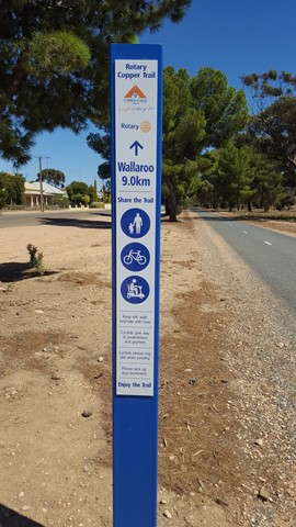
Walks in Yorke Peninsula
9.6
km
one-way
2.75
hrs
Copper Rail Trail
The old copper rail line between the Kadina mines and the smelting works and jetty at Wallaroo. Steeped in mining history with its interpretive sign and even details of the day in 1874 that W.G. Grace played cricket at the racecourse.