
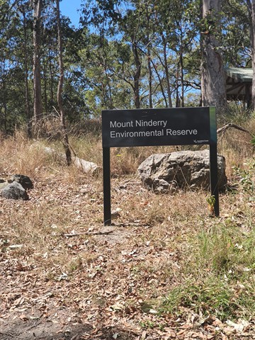
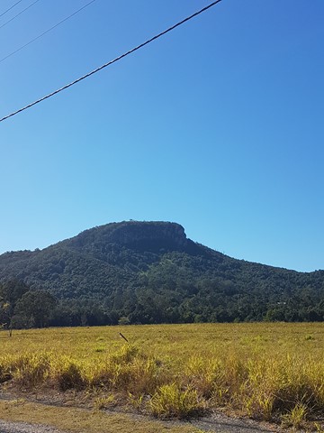
Mt Ninderry
Sunshine Coast


Menu
GPS Tracks

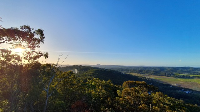

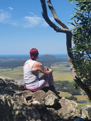
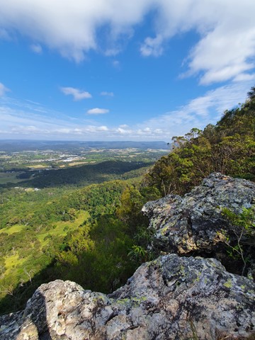
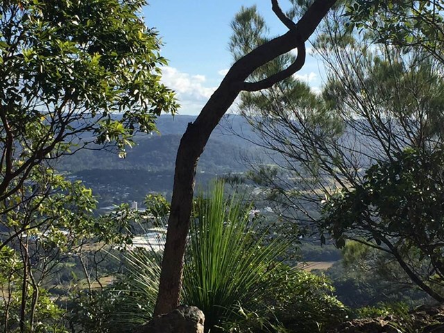
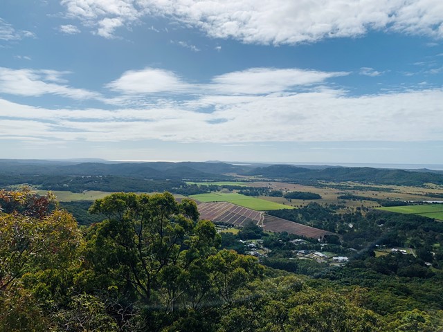
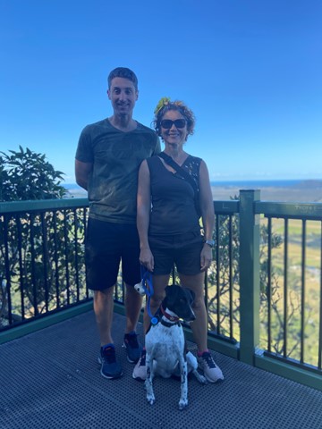
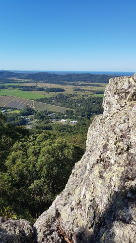
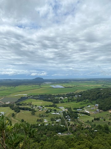
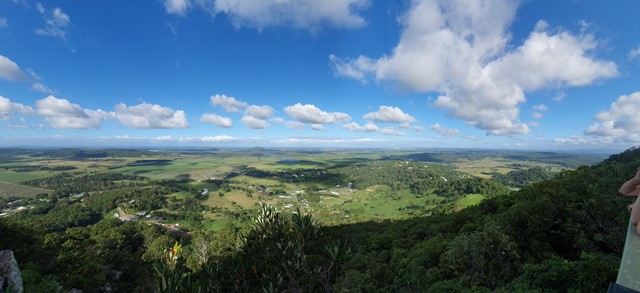


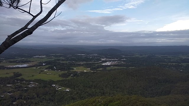
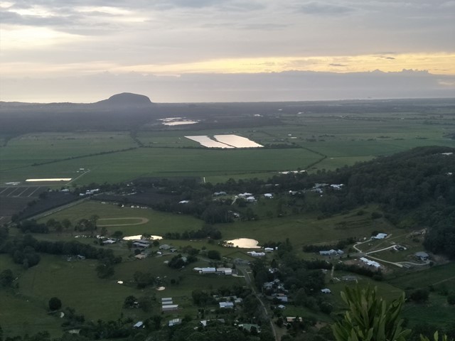
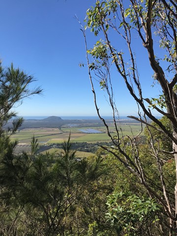

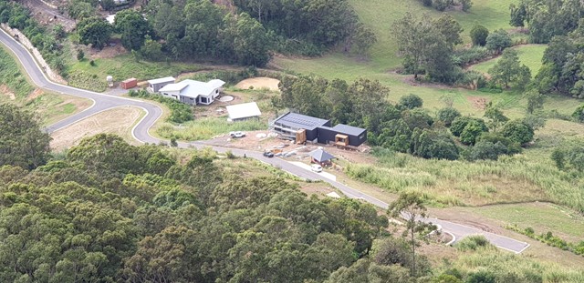
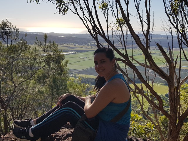
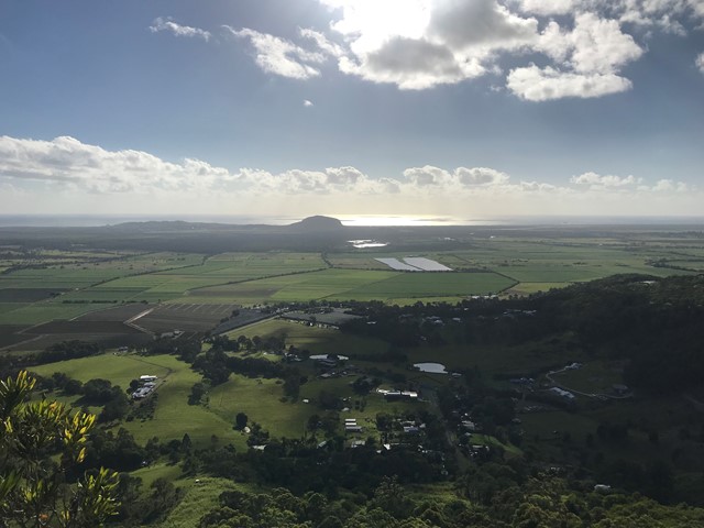
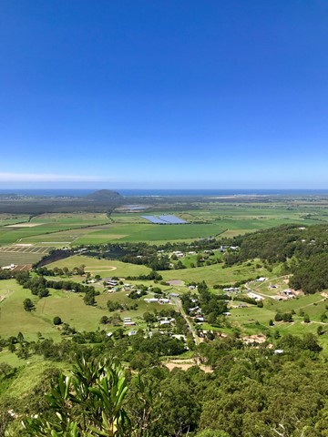
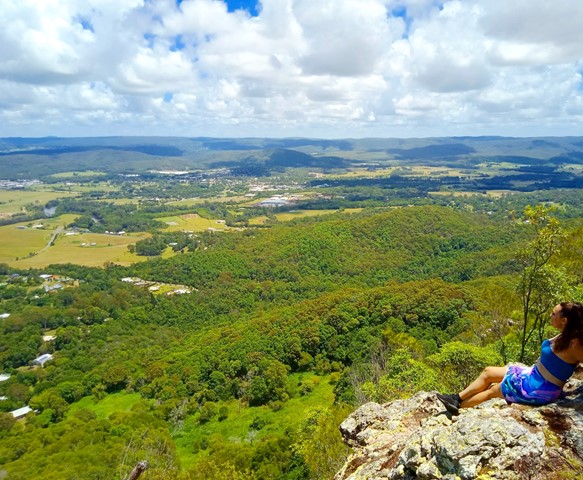
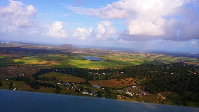
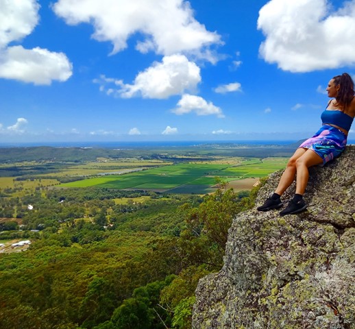

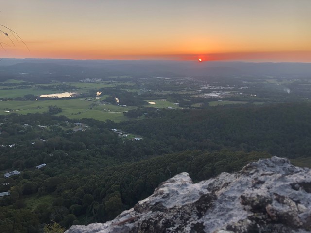
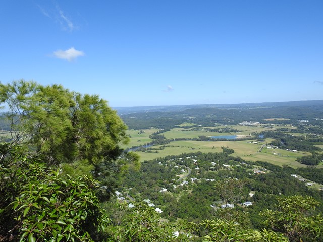

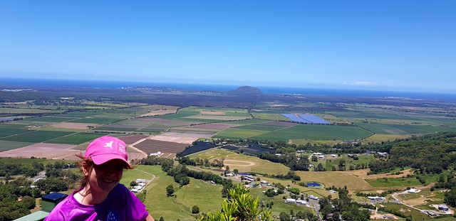


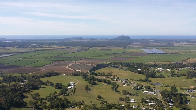


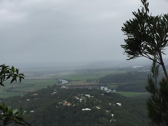

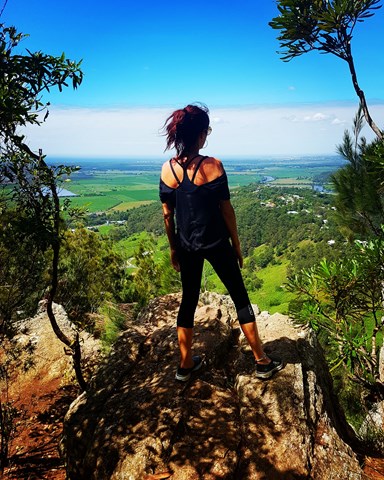
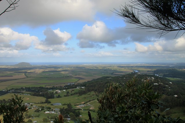
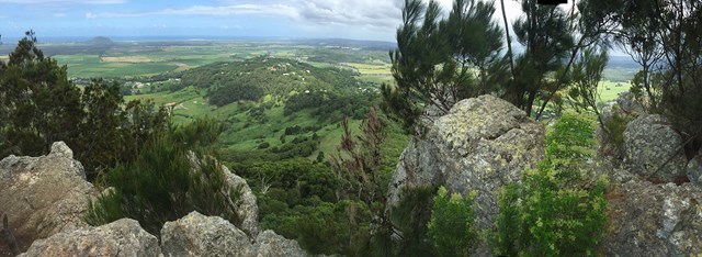

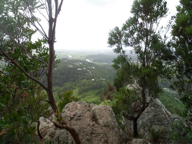


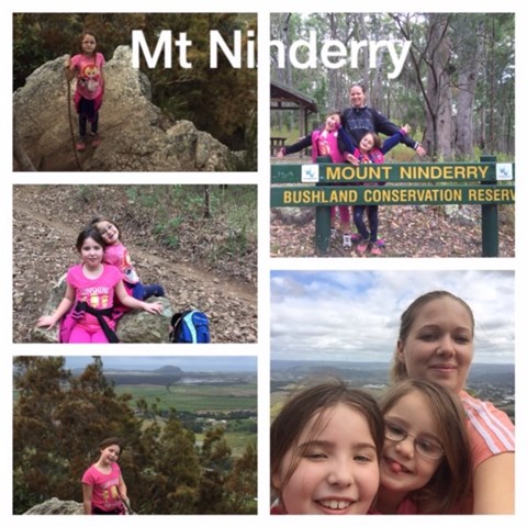

A pleasant walk following a stepped track to a large plateau with two viewing platforms. One covers the west, overlooking Yandina and the Blackall Range, the other is to the east overlooking Mt Coolum.


Getting there:
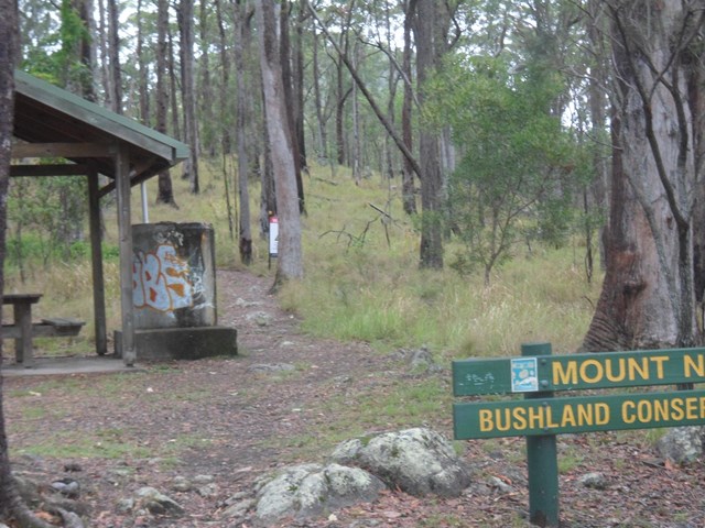
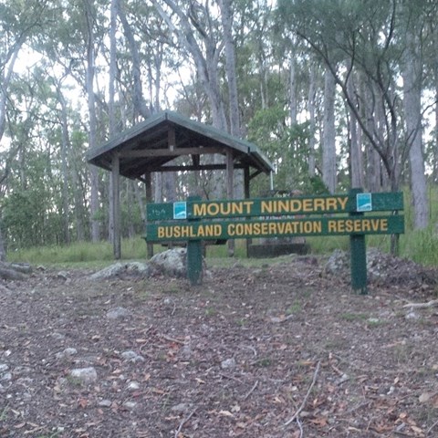
Turn off the Bruce Highway at Yandina and head west onto the Yandina Coolum Road, away from the mountain. Carry on straight through the roundabout(s) onto Coulson Road and then right along School Road at the railway line. At the end of the road turn right onto Ninderry Road, back over the Highway and up the hill. Follow this till Eucalyptus Circle and look for a cement drive up to the car park on the right.
Maps:
None found.
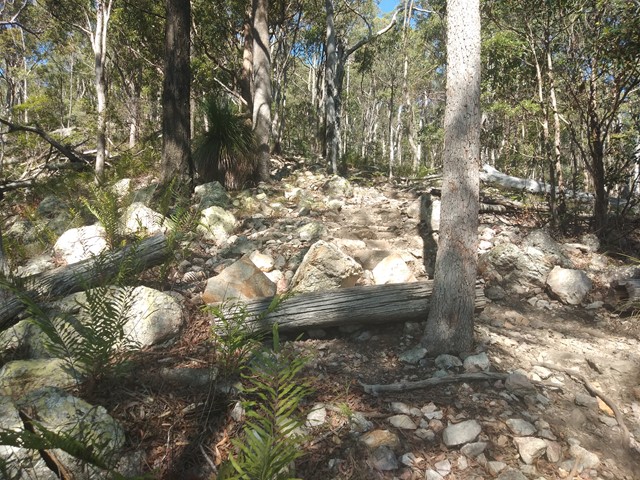
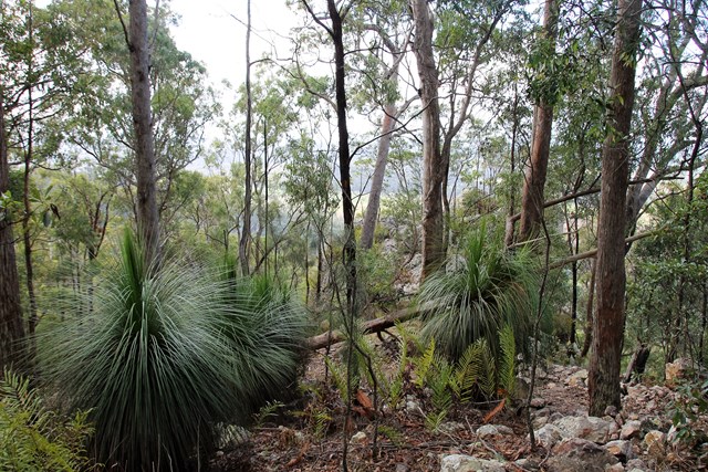
Route/Trail notes:
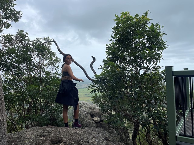
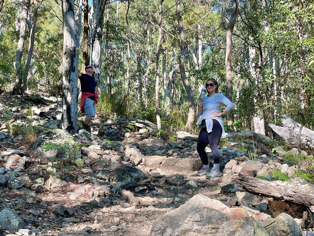
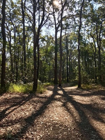
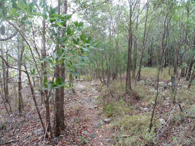
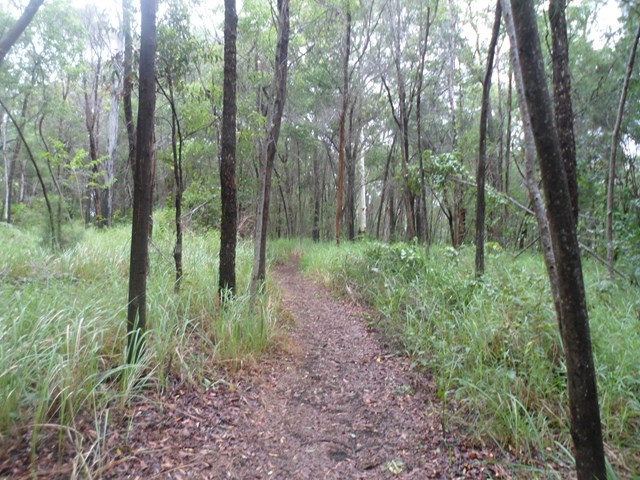
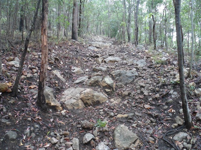
From the car park follow the track to the right up the northern ridge and over the saddle till it reaches a steep rocky stepped section, with two small viewing areas on your left. Just after the second lookout, you take the right fork to the western lookout, then continue across the top of the mountain to the eastern lookout, before heading back down to rejoin the original track.
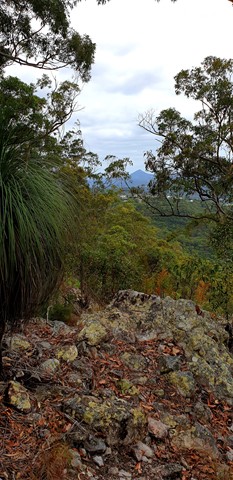
Alternatively bush bash and rock hop around the top for further views.
Permits/Costs:
None.
Other References/Comments:
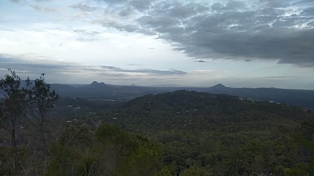
It is a shame, that despite the money Sunshine Council have put in here (2017), they have failed to provide a safe viewing area to look south across the Sunshine Coast and the Glass house Mountains, which would be awesome.
 Mt Ninderry (GPX)
 3.3
3.3 90
90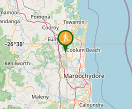
Comments