
Mt Borumba
Conondale National Park


Menu
An undulating hike along fire trails starting at the Borumba Dam wall, finishing at the summit of Mt Borumba.

Getting there
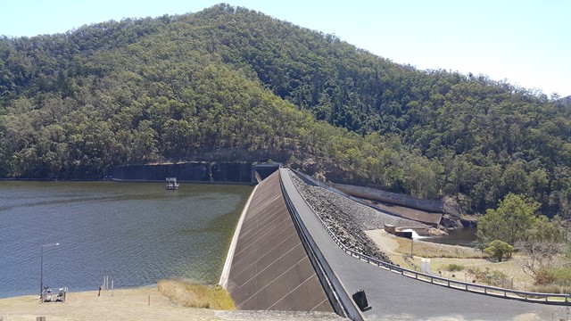
Set your GPS to the Borumba Dam Picnic area.
Route/Trail notes
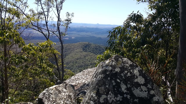
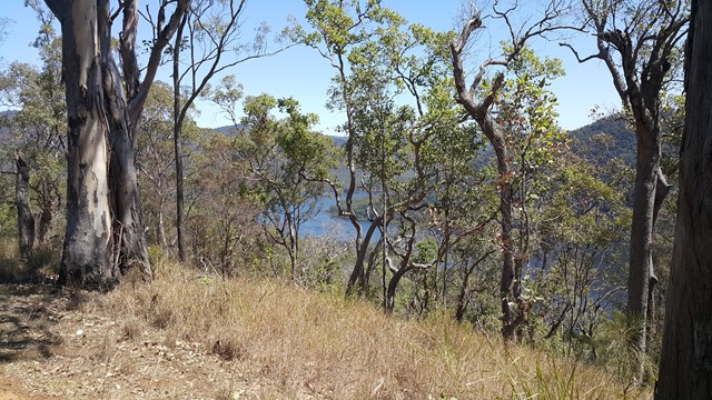
After parking at the Day Use area, backtrack along the road towards the dam wall where you will find a gated fire trail with a sign stating - No unauthorised vehicle access. This track starts off pretty nice but gets very steep before intercepting the main fire trail at the top of the ridge. Here you will turn right and gradually ascend the fire trail. You will reach another T intersection with a big water tank, turn right again hopping over another gate. Not long after this you will reach the summit where you will find a small rocky outcrop with a view. Return the same way, or you can make it a circuit and continue along the ridge track before making an extremely steep descent down another fire trails that pops out around the Dam Pump Station. Along the ridge you will see some obstructed views of the Dam and surrounding mountains.
Permits/Costs
This walk may have been closed to unauthorised people. You'll need to verify if public access is allowed before walking.
Other References
https://www.wikiloc.com/hiking-trails/lake-borumba-and-mt-borumba-circuit-40212487
GPS Tracks
- No GPS available for this walk yet.
 13.4
13.4 4
4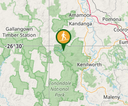
Comments