
Mt Miketeebumulgrai
Glass House Mountains National Park


Menu
GPS Tracks
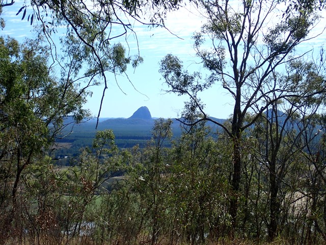
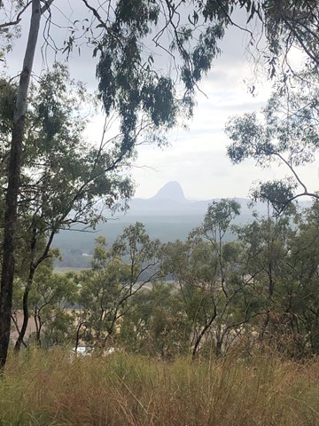
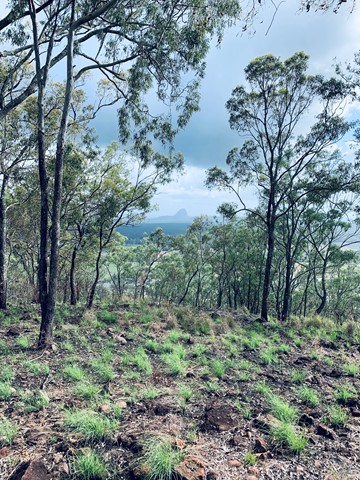
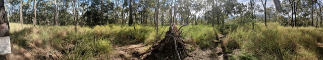
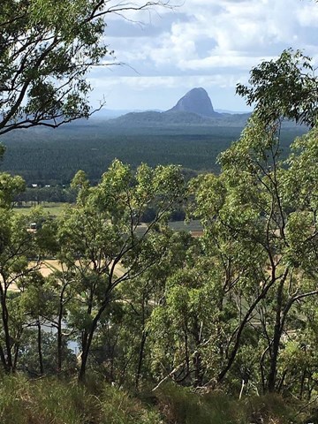


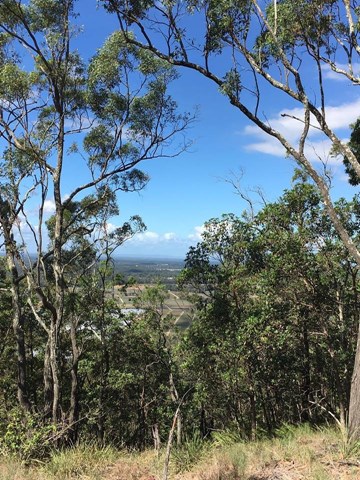
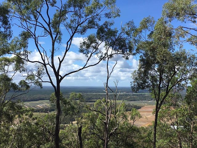

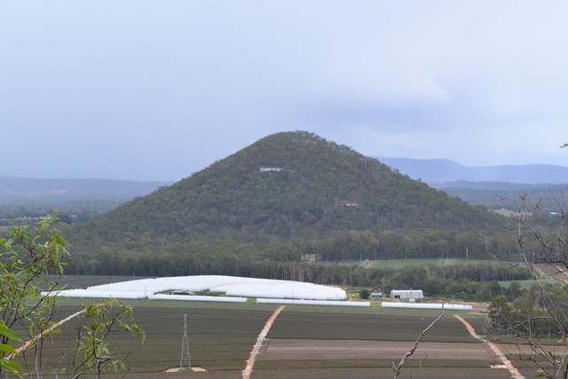
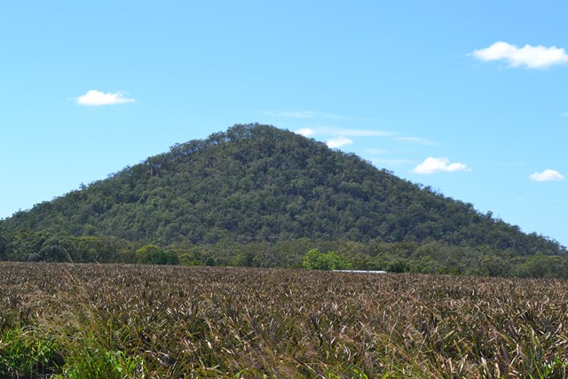
Mt. Mike as it is known is twice as tall as its neighbour Mt Elimbah with a fast but steep ascent through eucalypt forest nested on scree and leaf litter-covered slopes. The views from the top are not great but what can be seen is the extensive horticulture on the plains below, particularly of strawberries and pineapples.

Getting there:
Take the Steve Irwin Way from the Bruce Highway to the Beerburrum. Take the Beerburrum Road south to Elimbah, where you turn right into Smiths Road. Turn left onto Old Gympie road and immediately right into Alcock Road, which joins Boden Road and then turn left into King Road. Park on the grass verge opposite the Glass House Mountains NP - Mt Miketeebumulgrai sign (approx. 320 King Road).
Maps:
None found.
Route/Trail notes:
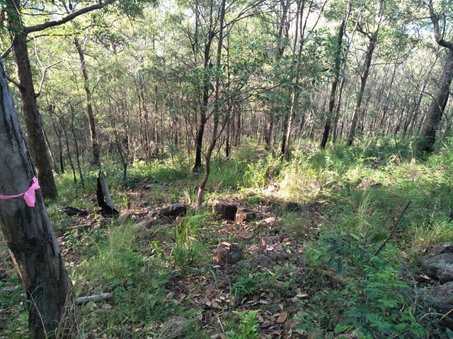
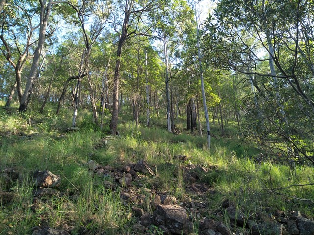
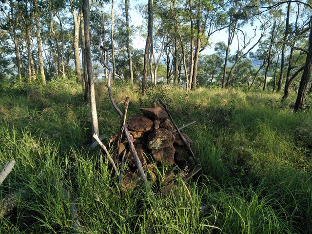
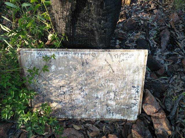
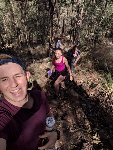
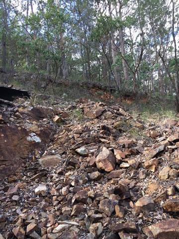
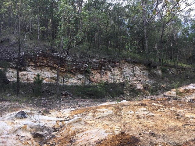
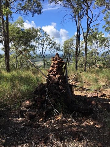
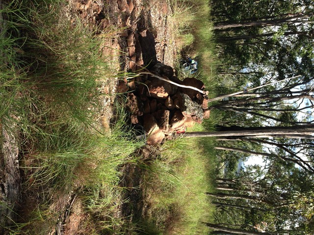
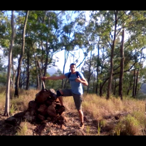
Behind the National Park sign is a track that leads to a scar from an old quarry. To the right is a 'pink flagged' track that takes you through the scrub and boulder/rock field and directly to the top. It is fairly steep but not to the extent of a scramble and would likely be very slippery when wet. At the top is a cairn and a board to write your initials on.
Return by the same route.
Permits/Costs:
None.
Other References
The Peak Baggers Guide to the Sunshine Coast.
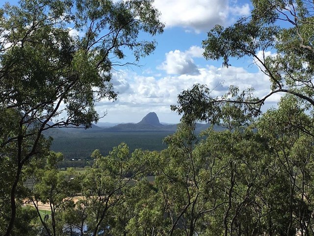
Kill two birds with one stone and climb Mt Elimbah on the same day, as it is just 6km up the road.
 Mt Mike (GPX)
 1.2
1.2 75
75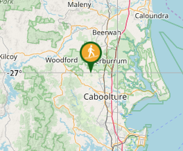
Comments