
Aquila Loop
D'Aguilar National Park


Menu
GPS Tracks


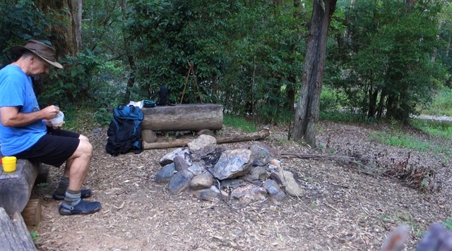

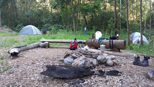

Remote bush camping in the remote middle section of the park, alongside picturesque England Creek at the England Creek bush camp. There are several waterholes along England Creek Road, 10 minutes south of the campsite. Look out for native daisies along the road edge flowering spring to summer. Pink rock orchids and tongue orchids can be seen growing on rock cuttings on Joyners Ridge Road in spring.
This trail can also be done as a day hike (6-10 hours).

Getting there
The start of the walk is from Maiala Picnic ground at Mt Glorious. You can either go down Joyners Ridge 4wd track about 13km to the campsite, or follow the Western Window track to Lawnton Rd 4wd track.
Maps
The Brisbane Forest park Information Map was the one used.
Route/Trail notes
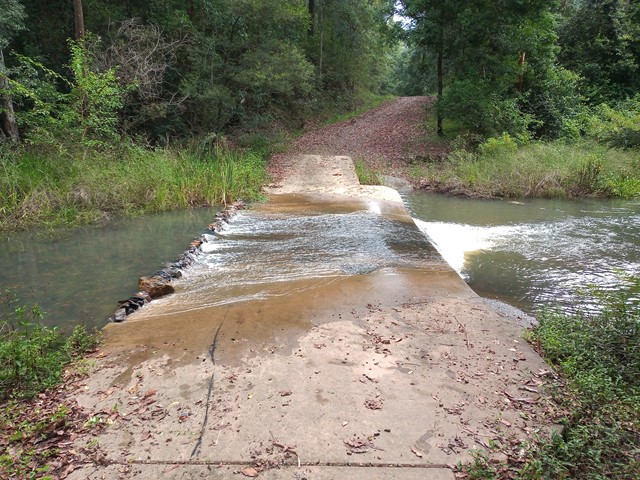
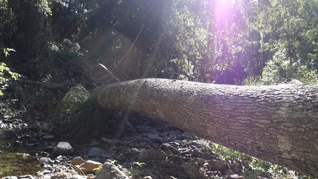
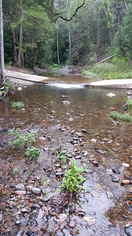
The walk started by following the Western Window path from Maiala down the steps to join the footpath to Lawnton Rd 4wd track about 3 km or so. Follow Lawnton Rd track for roughly 2 km where it levels out at a saddle where bees are somtimes kept. (On the map it would be 77.5, 73.5) When you reach this saddle look for a faint track dropping onto the road on the left about 30m from where the bees are kept. Follow this faint trail up the ridge line in a westerly direction about halway up it turns south. The climb up is about 140m vertical and about 400m long. At the top at peak 643 on the map turn left and follow the faint footpath down the south east ridge. This is steep track that folows large rock tors. There are wait-a-whiles and other stinging nettles in sections. Follow this very faint path till you run into the creek roughly one hour down. Once you are in the creek rock hop down the creek always following the path of least resistance from the scrub, tree falls and cascades for about 2km, another hour. Where the creek hits a causeway, there is the camp site. The next morning I turned from the creek in a westerly direction (right) and followed England Creek 4wd drive up to North Brook Mountain bush camp a steep and tiring walk. Near the top are some other 4wd drive tracks that are very steep but give excellent views over Wivenhoe dam and into England Creek valley. From Northbrook campsite I left the 4 wd track and followed a faint trail over Northbrook mountain, a steep, loose, up and down walk to peak 643 and retraced my steps back to Maiala carpark.
Permits/Costs.
Camping cost was $5 for the night.
For more camping info, check https://parks.des.qld.gov.au/parks/daguilar/camping.html#england_creek_bush_camp and/or https://parks.des.qld.gov.au/parks/daguilar/camping.html#northbrook_mountain_bush_camp
Other References
Parts of this walk are covered in the latest edition of John and Lyn Daly's Take A walk in South East Queensland.
 Aquila Loop - England Creek (GPX)
 21
21 2
2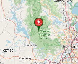
Comments