
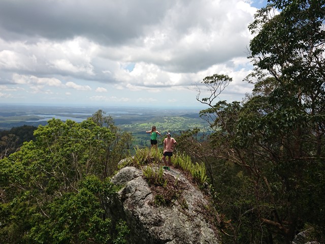
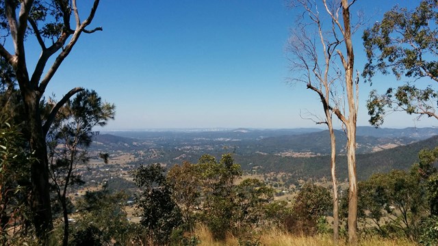
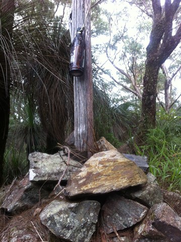
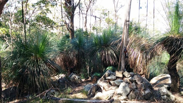
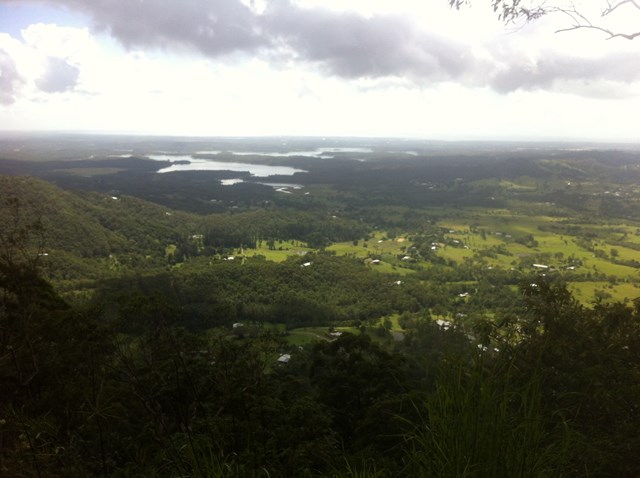
Mount Samson
D'Aguilar National Park


Menu
GPS Tracks
Sorry, this walk is now closed. This area is now private property, no entry is permitted.

At the request of the new owners, details of this walk have been removed. Please respect their property and do not embark on this walk.
 Mount Samson (GPX)
 7.6
7.6 4.5
4.5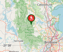
Comments