
Menu
Popular Walks
-
Booloumba Falls
(52 ticks) -
Artists Cascades
(47 ticks) -
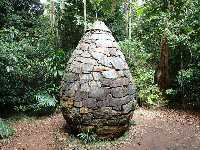
Strangler Cairn
(42 ticks) -
Charlie Moreland to Mt Allan
(37 ticks) -
Mount Allan
(35 ticks)
Parent Regions
Summary
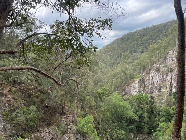
With magnificent forests, deep gorges and spectacular views, this park offers walking tracks, scenic drives and grassy camp sites near rainforests and mountain streams. The popular Booloumba Creek camping areas are now part of Conondale National Park.
Popular Walks
-
Booloumba Falls
(52 ticks) -
Artists Cascades
(47 ticks) -
Strangler Cairn
(42 ticks) -
Charlie Moreland to Mt Allan
(37 ticks) -
Mount Allan
(35 ticks)
Parent Regions
History
Any interesting history for the region?
Features
What are the standout bushwalking features?
Access
About 130 km north of Brisbane, inland from the Sunshine Coast
Maps
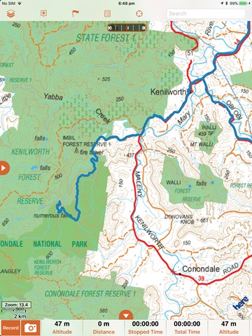
http://www.derm.qld.gov.au/parks/conondale/pdf/conondalenp-imbilsf-map.pdf
Accommodation
Where can I stay there? or near there?
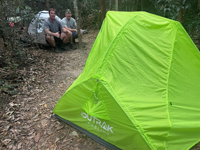
Camping
Other
Contact details
https://parks.des.qld.gov.au/parks/conondale/about.html
Walks in Conondale National Park

 12.2
km
return
12.2
km
return
 3
hrs
3
hrs
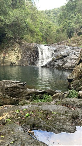
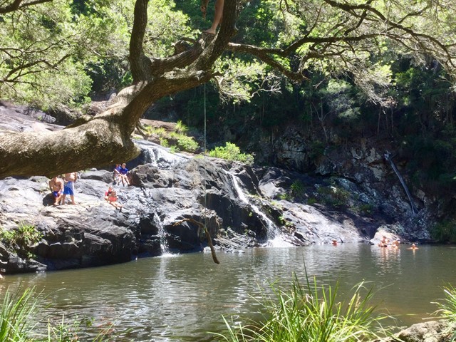
Artists Cascades
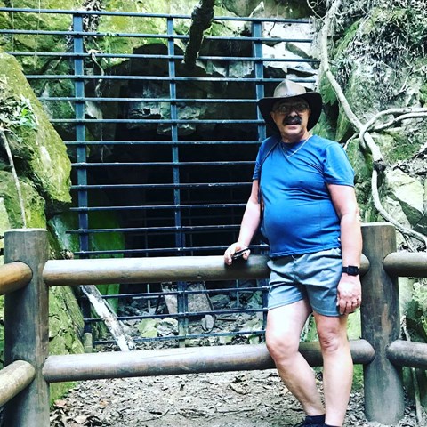
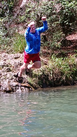
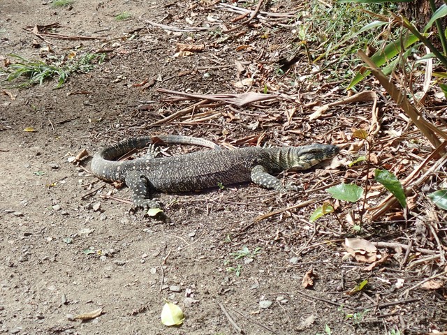
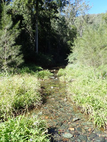
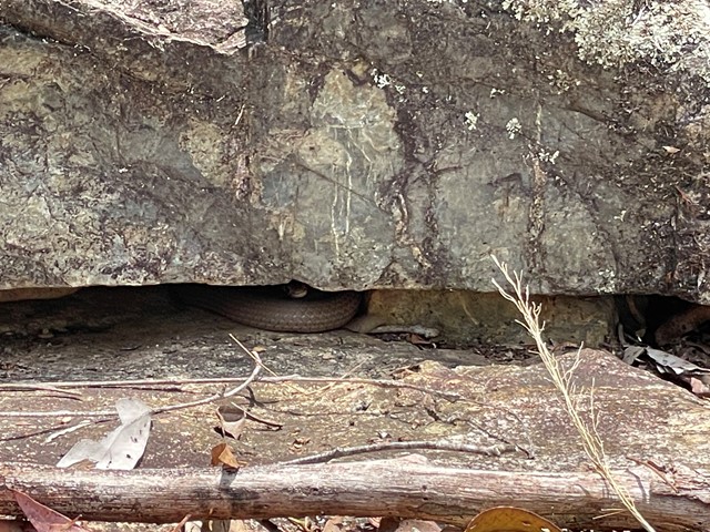
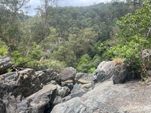
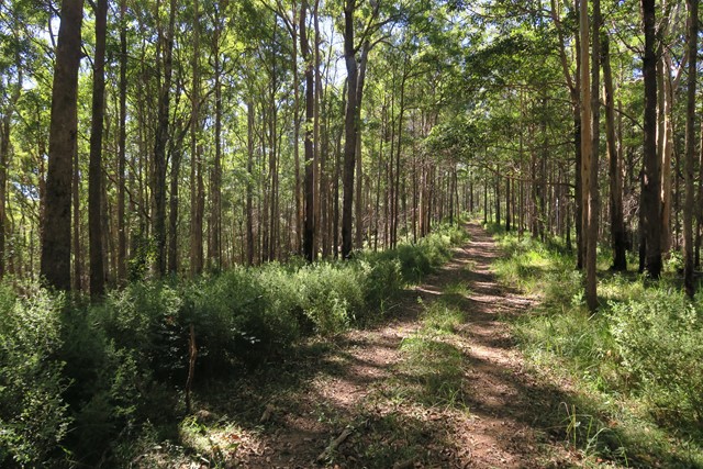
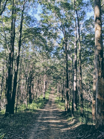
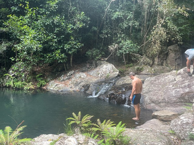
This walk is part of the Conondale Great Walk and follows Booloomba Creek. You walk through subtropical rainforest and wet sclerophyll forest. There is abundant birdlife along the path as well as goannas and skinks. The cascades is a great place to have a swim after the long walk to get there. You can also take a couple of side tracks along the way to the Strangler Cairn and the gold mine.
 1
km
return
1
hr
1
km
return
1
hr
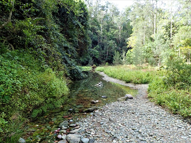
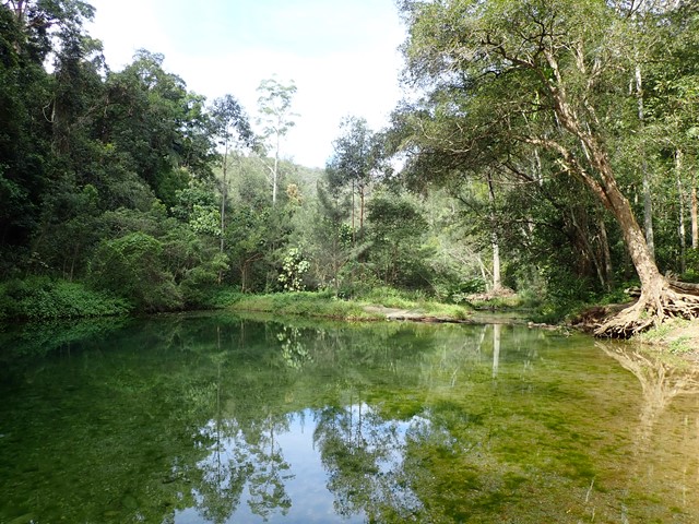
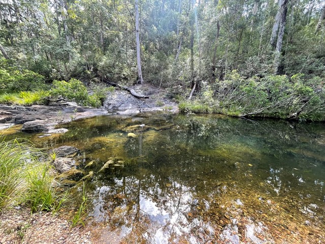
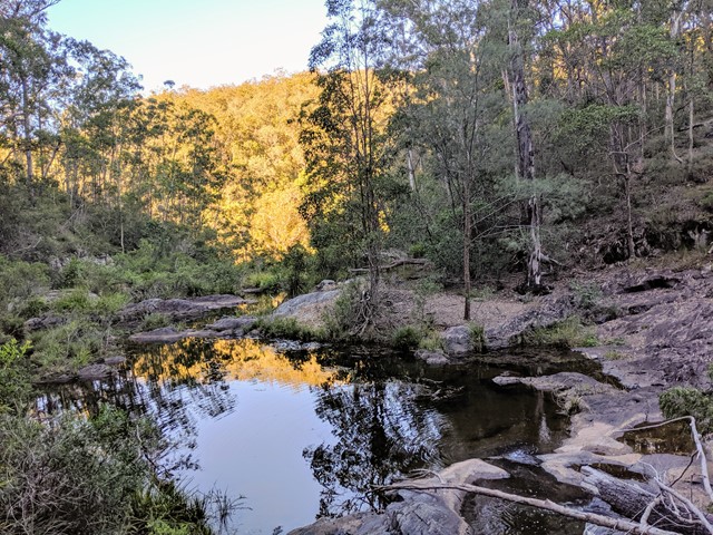
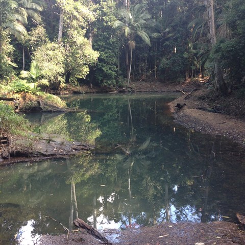
Booloumba Creek
Went here after work one day with my wife, it was so relaxing to just walk in the creek and spend some quality time away from the coast.
 24
km
return
6
hrs
24
km
return
6
hrs
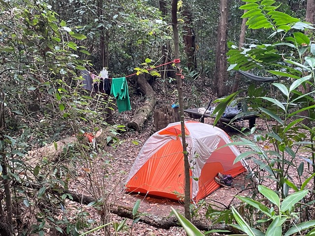
Booloumba Creek to Wongai Walkers Camp
This can be done in 1 day if fit and keen enough or make it a 2 dayer as part of the Conondale Great Walk. . Great weekender hike if you like to camp too. Starting from the Booloumba Creek day use area hike up past the Artist Cascades then onto Booloumba Falls following to the Wongai walkers camp. Maps state that its 11km, but the GPS marked it out at 12.1km. Returning back the way you came. And best of all its most down hill for the return trip.
 1.5
km
return
1
hr
1.5
km
return
1
hr
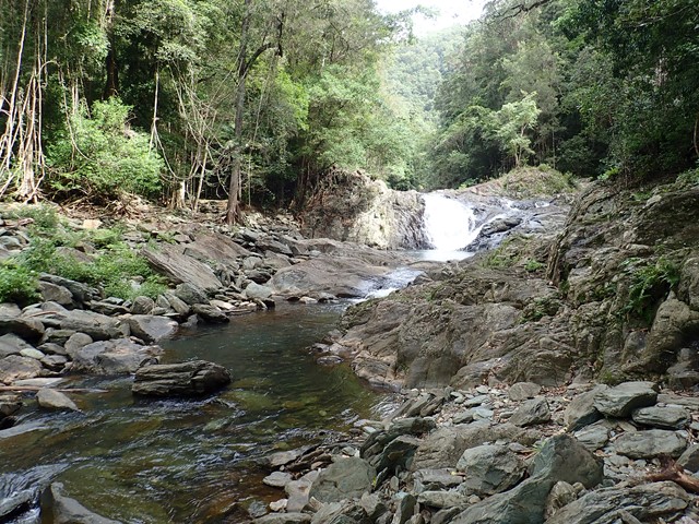
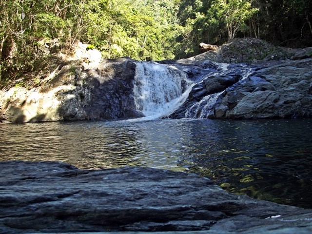
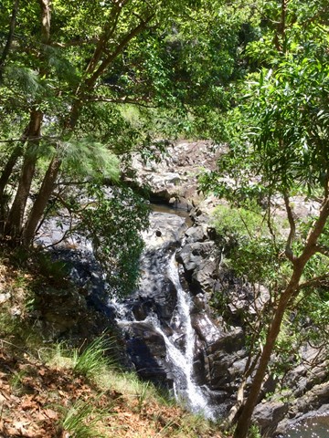
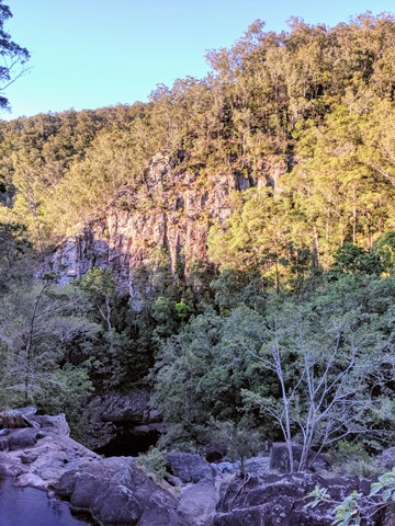
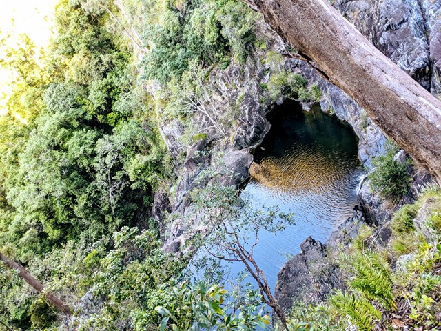
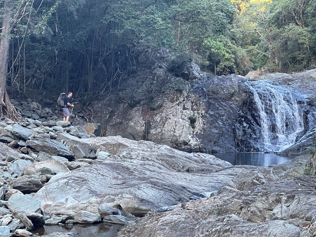
Booloumba Falls
Walk through tall open forest and discover this scenic creek's cascades, waterfalls and rock pools. At the junction of Peters and Booloumba creeks view The Breadknife rock formation. Swim in the pools at the base of the falls with its beautiful cool mountain water on a hot summers day
 22.3
km
return
4
hrs
22.3
km
return
4
hrs
Booloumba to Summer Falls
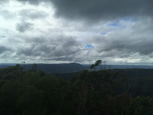
Start at the Booloumba Day use area and take the Great Walk trail to the north west. I went to the old lookout...good view however cloudy and light rain. Great day hike well signed.
 10
km
one-way
3.5
hrs
10
km
one-way
3.5
hrs
Cambroon Lane to Charlie Moreland Camping Area
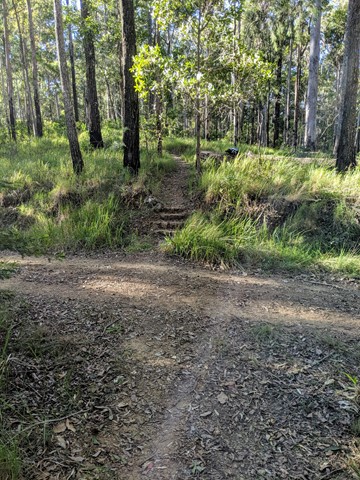
A walk through the Imbil State forest on wide dirt tracks with the last section on Sunday creek road.
8.8
km
return
3
hrs
Charlie Moreland to Mt Allan
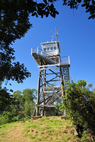
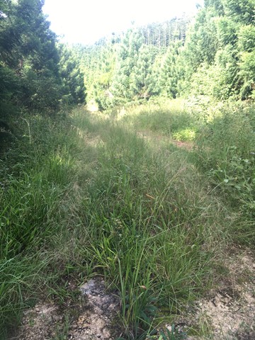
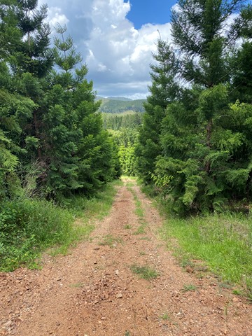
When you arrive at Charlie Moreland Camping ground in Imbil State Forest , go to visitor information then look to your left , there is a camp ground walk past that to find a gate and a sign stating Mt Allan hike trail 8.8km return
This is a steady continues incline that will lead you right up to Mt Allan firetower. This is a wide track used for fire trucks and Qld Parks to get up to the fire tower. Enjoy the amazing wide open space views of mainly a pine forest area.
 22
km
return
5
hrs
22
km
return
5
hrs
Charlie Moreland to Summer Falls
Nice relatively easy straightforward hike from Charlie Moreland Campground over Mt Allan to Summer Falls and/or Summer Falls Walkers Camp.
For those who do not have a 4wd in getting to Bolumba , this makes a nice day hike , or you could even camp there for a night of peace and quite.
 56
km
return
4
days
56
km
return
4
days
Conondale Great Walk
Ancient rainforest, cascading waterfalls, crystal clear creeks, tall open forest and expansive views.
 29
km
one-way
6
hrs
29
km
one-way
6
hrs
Conondale Great Walk Southern Cct
The walk traverses the Bundaroo and Booloumba Creeks Catchments, mostly following the Connondale Great Walk but utilises cross tracks to truncate the walk.. The lowest point on the walk is the Bundaroo Creek Crossing