
Bukit Timah
Singapore


Menu
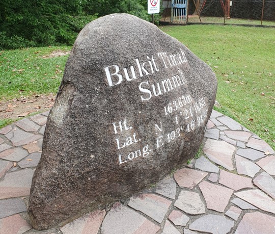
A hike up to the dizzying summit of the tallest mountain in all of Singapore at a staggering 164 meters.

Getting there
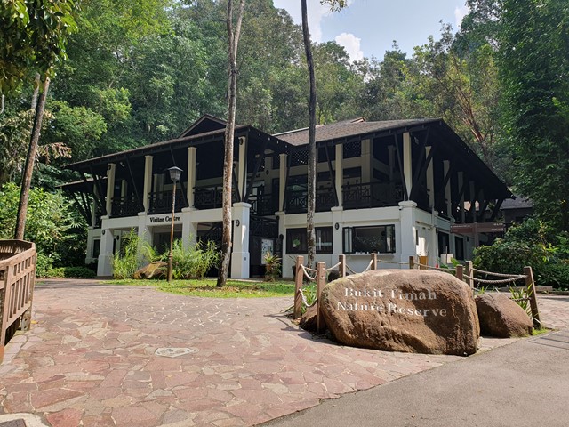
There are heaps of ways to get there, you can drive but be prepared parking is scarce and a little pricey. A better option is to catch the bus to the bottom of the reserve - Beauty World station. From there cross over the overpass and head up Hindhede Road. The walk starts at the Visitor Centre.
Route/Trail notes
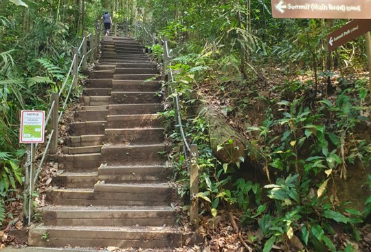
The walk is well marked with a lot of sidetracks you can go down as well. The incline is fairly shallow, but being that it is the highest point (apart from some of the skyscrapers) in Singapore you will see a lot of people out training with full backpacks. Eventually you will reach a staircase that leads to the rock marking the summit. Keep following the track and you can continue the loop finishing back where you started.
Permits/Costs
Free
Other References
https://www.alltrails.com/trail/singapore/central/bukit-timah-main-path-cave-and-south-view-loop
GPS Tracks
- No GPS available for this walk yet.
 2.6
2.6 45
45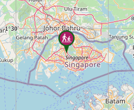
Comments