
Mt. Yoro 養老山 (Gifu Prefecture)
Japan


Menu
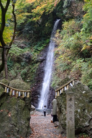
Mt. Yoro, located near the Mie prefecture border has a beautiful waterfall at the base of the mountain and stunning views over the Gifu farmlands. The hike is not particularly intensive or technical. It's good stuff.

Getting there
You can get to this hike by either driving or by train/bus. If taking the train, take the train to Yoro station and there will be a free shuttle bus connecting you to Yoro Park. From the bus stop you can walk to the trailhead in about 15 minutes. Follow signs for Yoro no Taki (Yoro falls).
If driving, there are two carparks. One is labelled as the Yoro no Taki carpark. Do not park here as parking is 1000 yen and a total scam. Instead park in the Yoro Park. There is free all day parking. If you get there in the morning, you will not have to fight for a park either.
Similar to public transport, follow signs for Yoro no Taki which serves as the beginning of the hike.
Maps
There are no maps available.
Route/Trail notes
From Yoro no Taki, take a right up a narrow slightly battered path that has definitely seen better days. The path is incredibly poorly signed. But follow the path up a staircase. Do not go down the staircase. If you go up it should take you to the super expensive 1000 yen carpark. Walk across the carpark and you should see a sign that says 登山口, this means hiking trail. Follow signs with these kanji. On your left should be a chained off area, this is the trailhead. Walk over the chain and follow the old road. You will reach a fork in the road, follow signs for 三方山. This should be the left fork in the road.
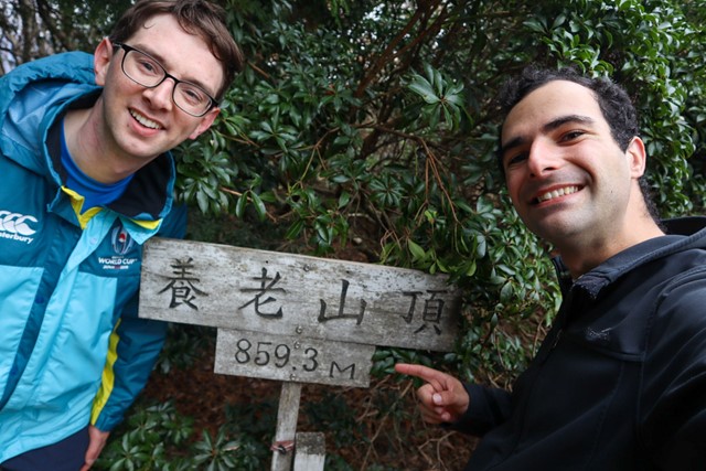
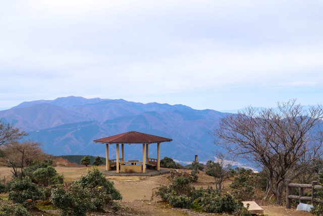
Continue up the path across a river. The trail should turn into a nice dirt trail. After about an hour you will reach another fork in the road. Take the left fork to the peak of 三方山. Once you have summited, go back down to the fork, instead of going back same way down, follow the right fork up. This should take you up the mountain ridge and towards Mt. Yoro. There are no views from the top of Mt. Yoro, but the mountain just before is stunning. A great spot for lunch. I recommend. From this second junction, it should take about 30 minutes to the peak of Yoro. Look for signs with the kanji 養老山
Follow same track down for descent.
Permits/Costs
Nada
Other References
Nope
GPS Tracks
- No GPS available for this walk yet.
 6
6 3.5
3.5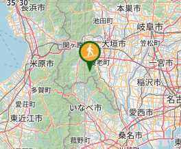
Comments
Nobody has commented on this walk yet. If you've done it then tick it off and add a comment.