
Mt. Norikura 乗鞍岳 (Gifu Prefecture)
Japan


Menu

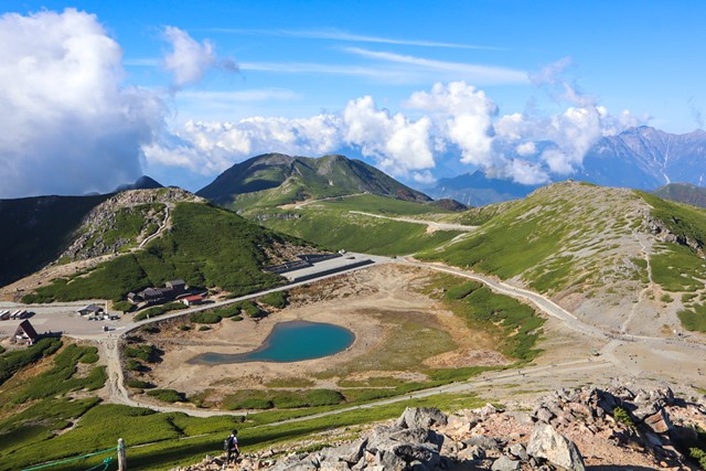
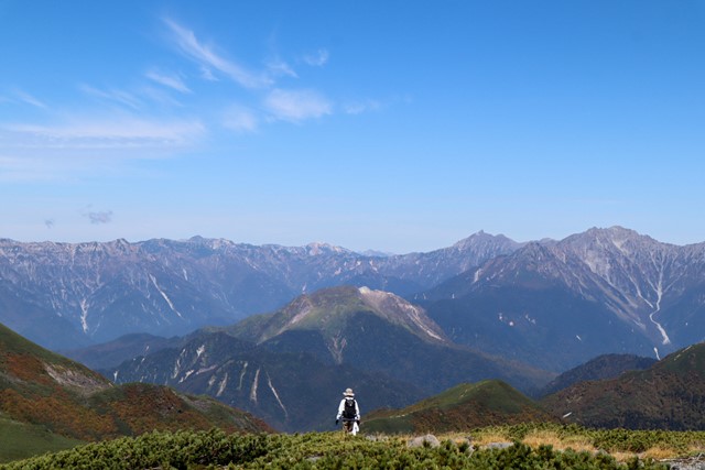
Norikura is one of Japan's 100 famous mountains and one of the 20 odd mountains in Japan that are over 3000 metres. On a clear day you get jaw dropping views of the Hotaka Mountain range and the northern alps, if you are lucky you can see as far as Fuji. There are volcanic lakes galore. It's worth the trek out to Norikura.

Getting there
This hike is only accessible via bus, it is not possible to drive your own car to Norikura. There are multiple places you can catch a bus from including Takayama on the Gifu side and Shin-shima station from the Nagano side. Alternatively you can drive to Hira no yu Bus Terminal in Gifu or Norikura Kogen Tourist Centre on the Nagano side and catch the Alpico Bus.
Find more information about the bus from here: https://www.alpico.co.jp/traffic/local/kamikochi/echoline/
Get off the bus at Tatamidaira.
Maps
Use the force.
Route/Trail notes
From the Tatamidaira bus terminal at the top of Norikura-dake, you have a few options. There are a bunch of sub-peaks on the mountain range that you can easily hike up and down. Pick the ones that tickle your fancy and climb them. These include Mt. Mao, Fujimidai and so on. The true peak is Kengamine 剣が峰. From the bus terminal, walk down towards the road and there will be a path next to the lake that veers off. There is a sign that points towards Kengamine (note the the sign is in Japanese so look for the kanji 剣が峰. Follow this to the peak. The path basically follows an old road. You will notice a trail off to the side that says 富士見台 (Fujimidai) you can take this path if so desired, it loops you back to the Kengamine trail.
The path is not particularly steep or difficult. Towards the top, the vegetation thins out and the path becomes more rocky. But this is a hike that anyone can do. Towards the top, there will be a fork in the path, one of the signs has something written in kanji and there is a rock with a big arrow drawn into it. The other sign has a picture of a torii gate. Follow the massive arrow in the rock. It takes you up to the summit. The one with the picture of the torii does as well, but that track is used more as a descent track from the summit. To get the best experience I recommend the faded sign route.
Climb back down the mountain same way that you came up.
Permits/Costs
Bus ticket is 3,300 yen from Norikura Kogen Tourist Information Centre.
Other References
Check out the Hiking and Trekking the Japan Alps book. Includes a GPX map and a slightly more detailed description of the hike.
GPS Tracks
- No GPS available for this walk yet.
 6
6 4.5
4.5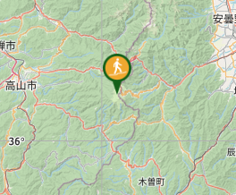
Comments
Nobody has commented on this walk yet. If you've done it then tick it off and add a comment.