


 8.7
8.7 3
3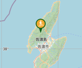
Aussie Bushwalking can keep track of your bushwalks.
Login/signup to tick this walk off.Mt. Kinpoku 金北山 (Niigata Prefecture)
Japan
Menu
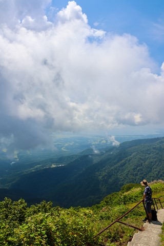
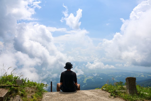
Mt. Kinpoku - the tallest mountain on Sado Island. Hike a truly unique mountain and have the entirety of Sado beneath your feet. Some cool wildlife and a flirtation with the JSDF.
Bird Watching
Toilets
Public Transport
1172m
Maximum Elevation
Getting there
Get to the beginning of this hike by either taking the bus or by driving to the Hakuundai Community Centre (白雲台コミュニティセンター). There is a free carpark here that has toilets. Make sure to check bus time table.
Maps
Find em' yourself big boi!
Route/Trail notes
Before beginning this hike it is mandated by law that you enter the Hakuundai Community Centre and fill out a form with your intended hiking route and submit it to the employees working there. The reason for this is that the mountain chain that you climb that takes you up to the summit and along the ridge is actually a JSDF (Japanese self-defence force) base. For the entirety of the hike you walk along roads used and maintained by the JSDF. The JSDF requires this information to monitor who is coming in and out of the base. It is not a big deal and is mostly a formality but it is legally required.
After submitting your form, go to the massive gate just outside of the community centre. There will be a small rope which you undo and the hike begins. From this point onwards you have officially entered a JSDF base. For the first part of the hike, the road/path is concrete. Continue up the hill until you reach a fork in the road. The left fork will take you to Mt. Myoko and the right fork to Mt. Kinpoku, note that it is possible to hike both in one day.
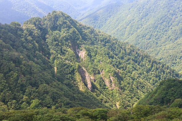
Continue following the right fork and you will pass by several buildings and watchtowers controlled by the JSDF. By this point the road becomes gravel. Be careful to not slip on the loose rocks. After the first base you should see a mountain in front of you which is your goal - Mt. Kinpoku. Continue following the road, making sure to not actually enter the base (as it is a crime).
If you follow the path correctly which is not difficult as the path is very obvious you will reach the peak which is marked by a staircase leading to a shrine. Here there is a marker that signfies the peak of Mt. Kinpoku. You continue hiking onwards to the other side of the mountain range and take a bus back into town or can follow the road back to the carpark.
Permits/Costs
No cost, but require permit/permission from JSDF.
GPS Tracks
- No GPS available for this walk yet.
Comments