
Mt. Futatsumoriyama 二ツ森山 (Gifu Prefecture)
Japan


Menu
Futatsumoriyama is out in the sticks of Gifu Prefecture. Summit has 360 views of the surrounding mountains. It's not the best nor the worst mountain.

Getting there
Begin the hike by driving to 切越峠 (kirikoshitoge). There is a small non-descript carpark there. Note that the road up is super windy and not a good time. From the carpark, you will a massive sign just up the road. Walk there and that's where the trailhead starts.
Maps
Google yeah
Route/Trail notes
You will need to be able to read the kanji 山頂 which means summit. Look out for these signs and follow them. The hike is not particularly steep. It is difficult to get lost.
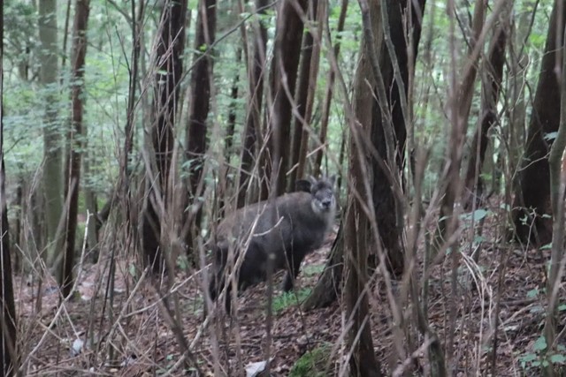
Be careful of bears as there are occasionally seen in the area. There are also wild kamoshika knocking about.
Most of the hike goes through forest. Some parts the sasa bamboo grass is quite long and you can't see your feet.
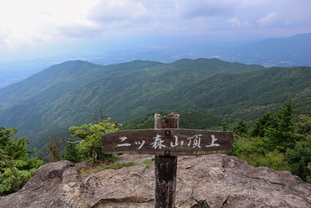
At the summit there is a hut and a large rock with a sign that says 二ツ森山 descend the same way back.
If you feel adventurous there are side trails you can take to other attractions such as bat rock (コウモリ石) but this will add an additional hour to your hike.
Permits/Costs
nada unless you take the highway.
GPS Tracks
- No GPS available for this walk yet.
 6
6 3
3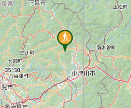
Comments
Nobody has commented on this walk yet. If you've done it then tick it off and add a comment.