
Mount Hananashi 花無山 (Gifu Prefecture)
Japan


Menu
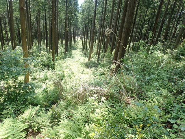
Mount Hananashi is totally non-descript mountain that is hardly worth making the trek out to whatsoever. There is no view at all and the hiking track is incredibly confusing. If for some unexplained reason you want to do this hike because you happen to be out in the sticks of Ena in Gifu Prefecture then be my guest.

Getting there
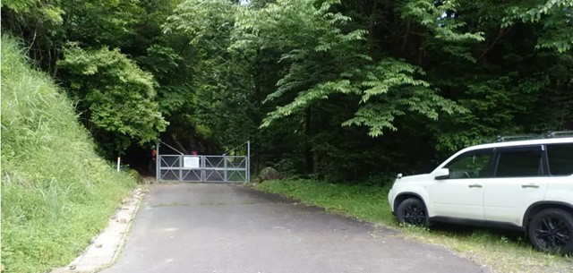
Getting to this hike is somewhat of a maze. So read this carefully. When you input the mountain into Google maps it takes you out the back of the mountain where there is no trailhead. Instead you need to come from Ena direction, heading towards Iwamura. Just before you cross the bridge over the Agigawa Dam you will see a sign for a left turn into the Ena Crematorium. Follow this road. The road is a steep non-through road. Once you pass the crematorium there will be a big road block fence in the middle of the road. Park your car at the crematorium and then walk past the road block. Continue walking until you reach another no-entry fence. Here there will be signs warning you about a secruity camera, but the secruity camera is broken and not in operation so don't worry about comitting a crime. Walk right on past the no-entry fence and you will find yourself at the trailhead.
Put this in Google maps (free parking at crematorium):https://goo.gl/maps/ADXRsqNm9CFtFQaZ6
Maps
There is none
Route/Trail notes
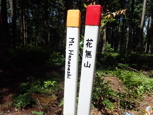
From the trailhead continue walking straight until you reach a junction. You will see a sign written in Japanese marking the routes for the mountains. Go left at the junction and it will take you on an uninspired old dirt road. Continue on this road for about 30 minutes and you will reach the summit in which there are no views. Go back down the same way. Please don't expect anything from this hike.
Permits/Costs
The only thing this will cost you is your time.
Other References
You can't find any other information. I literally just randomly found this hike while going past it and decided to try and find out how to hike it.
GPS Tracks
- No GPS available for this walk yet.
 3.1
3.1 1
1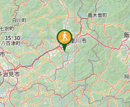
Comments
Nobody has commented on this walk yet. If you've done it then tick it off and add a comment.