


 19.5
19.5 2
2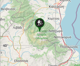
Aussie Bushwalking can keep track of your bushwalks.
Login/signup to tick this walk off.Mt Olympus
Greece
Menu
A 2 day hike/scramble to the roof of Greece and the home of Zeus.
Waterfalls
Lookouts
Toilets
Scrambling or Climbing
2918m
Maximum Elevation
Getting there
From Litochoro take the mountain road up to Prionia where you will find a modest sized carpark (that will invariably be full with cars parked for kms down the road leading to the carpark). Alternatively you can start the hike from Litochoro and not have to worry about parking - it will add quite a fair bit to the total walk but doing it that way is still surprisingly popular.
Route/Trail notes
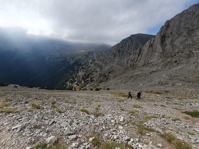
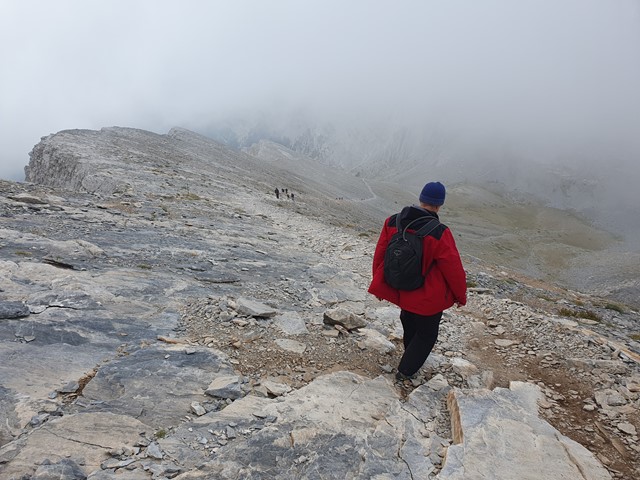
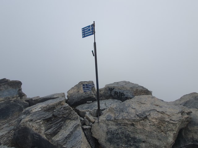
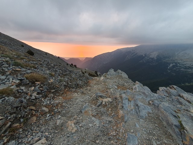
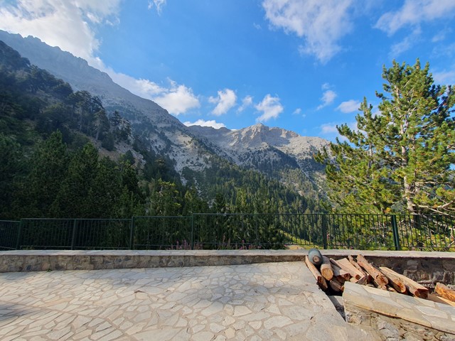
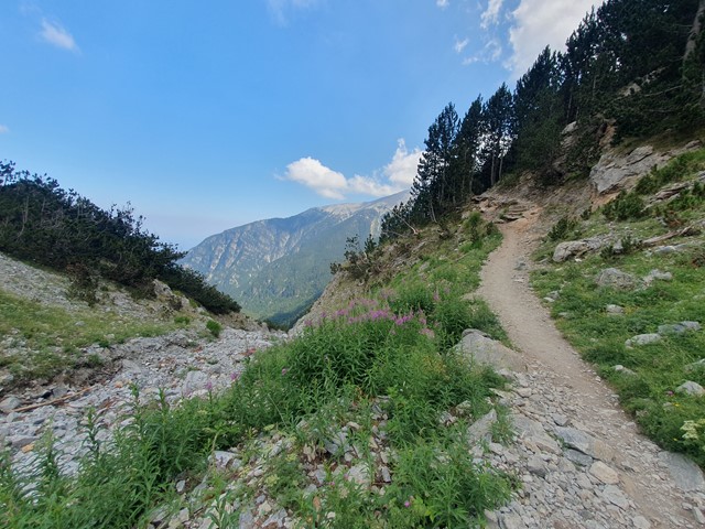
From the carpark follow the main trail (E4) - this trail goes past the main refuge (Refuge A Spilios) and all the way to the saddle between Skolio and Mytikas. It starts off forrest but the higher you get the more sparse the vegetation gets and the better the views become. The trail on the first day has quite a consistent incline and is extremely well graded - a bit like Mt Warning but possibly a little bit steeper. You will find a lot of people doing this walk during the warmer months. Once you arrive at the refuge you can check in and relax and try their famous Spagetti. 2nd day is a lot steeper than the first day, you get above the tree line quite quickly and the track involves a slow hike up loose rocks all the way to the saddle. Once at the saddle you have the choice of going left and heading to Skolio peak - no scrambling involved however it is slightly lower, or Mytikas - which involves a lot of scrambling and is the true summit of Olympus. Initially the track to Mytikas takes a fairly steep scrambling descent then involves a traverse across a slope to Mytikas peak. From there it is a very steep scrambling ascent up to the top where you will find a Greek flag marking the summit.
Permits/Costs
No cost to do the hike, but to stay at the refuge is around $30AUD per person - extra to purchase meal, drink, sheets.
Other References
GPS Tracks
- No GPS available for this walk yet.
Comments