



Menu
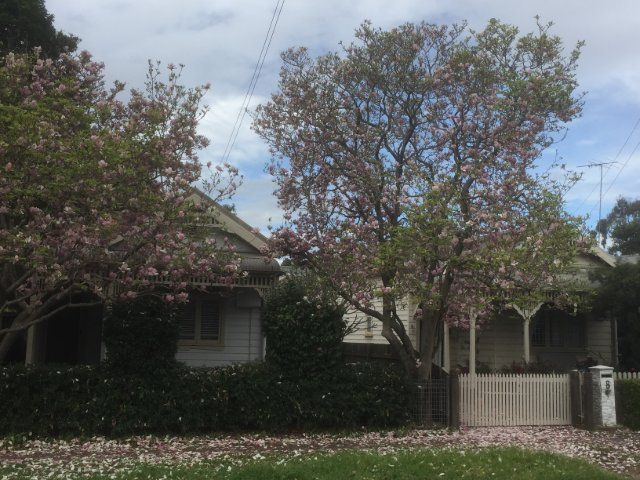
A circuit around the sites & parklands of central Parramatta.

Getting there
How do you get to the start of the walk?
From the Parramatta Ferry Terminal.
Maps
Which maps cover the area?
Maps of Central Parramatta
Route/Trail notes
A detailed description of the walk!
Walk will be described as follows but can be undertaken in reverse or by making it a complete loop from your carpark or accomodation. Starting from the Parramatta Ferry terminal walk along the Parramatta River walk until you reach the Commbank Stadium. From there continue North past the stadium and the Parramatta Eels Leagues Club onto Northcott Lane & Fennell Street until reaching Fleet Street where you will find the UNESCO World Heritage listed Parramatta Female Factory convict prescinct. Wander through the area and along Blue Road then cross the tram tracks onto Bridge Road and cross the Parramatta River. Recross the tram tracks and make your way back down the otherside of the river through the parklands until you reach Long Ave. Follow Long Ave til you reach the top of the Crescent ampitheatre and follow the top of it around until the old government house. From here you will exit the parklands and make your way through the streets of Parramatta to Centenary Square and the town hall before teaching the train station. Alternatively when you leave the parklands you can continue back to the ferry terminal or just complete the loop to where ever you started.
Permits/Costs
Do you need any permits? What's the cost?
Cost of Public Transport or parking.
Other References
How can I find more info? Any guide books?
N/a
GPS Tracks
- No GPS available for this walk yet.

 6km return
 2hrs
2hrs
Where
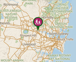 Map data © OpenStreetMap contributors. Terrain: © Geoscience Australia.
Comments