
Patonga to Wondabyne Station via Mt Wondabyne (GNW)
New South Wales


Menu
GPS Tracks
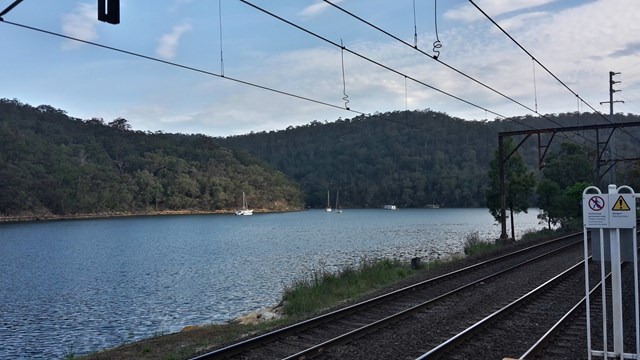
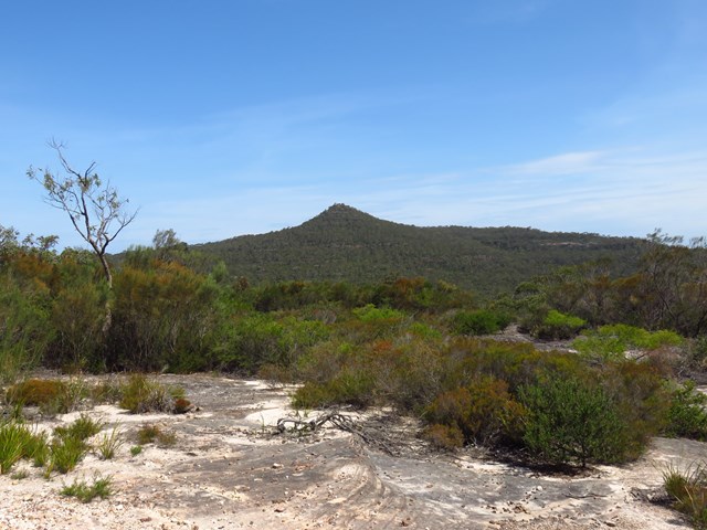

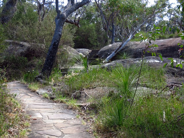
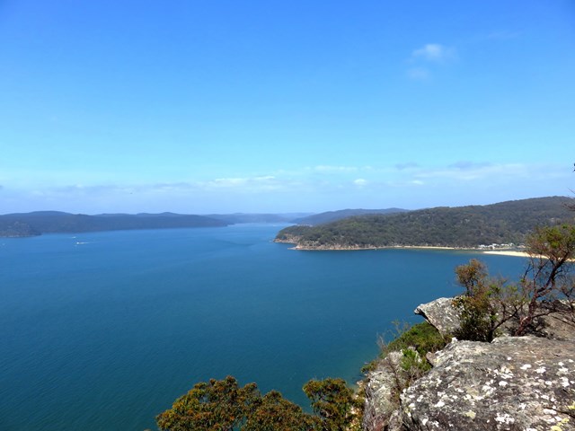
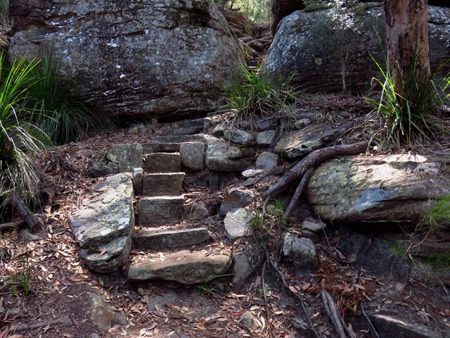
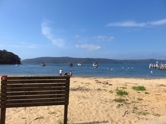
This walk explores some grand views, pleasant cascades, varied bushland and remote areas of Brisbane Waters National Park. From Patonga you will walk up the ridge and take a short side trip to enjoy the wonderful views from Warrah Lookout, before following a series of dirt roads and management trails to Patonga Creek in the heart of the national park. The walk then leads along a mix of trails and tracks mostly passing Mt Wondabyne, a worthwhile side trip, before crossing a few gullies with cool creeks and cascades. Past Myron Brook you will walk back down the waters edge at the remote and unique Wondabyne Train Station.

Getting there
Start at Patonga Beach in front of the General Store. You can reach this via car. You can also access via public transport: Woy Woy Train Station then catch the bus to Patonga (route 54). Note on weekends there's only 2 pickups scheduled in the morning, so don't miss them.
Maps
Which maps cover the area?
Route/Trail notes
See reference links below.
Permits/Costs
NIL
Other References
http://www.nationalparks.nsw.gov.au/things-to-do/Walking-tracks/Wondabyne-to-Patonga-walking-track
 Patonga to Wondabyne (KML)
 19.5
19.5 7.5
7.5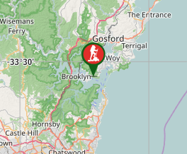
Comments