
Gorge Walking Track
Koreelah National Park


Menu
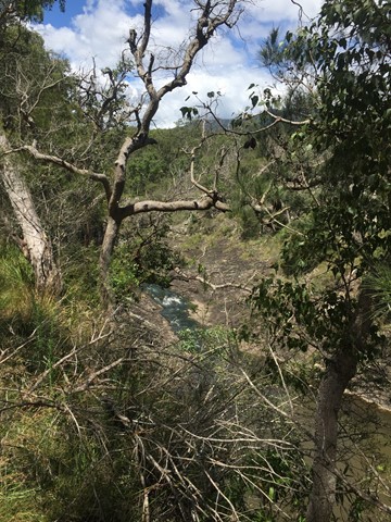
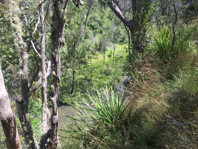

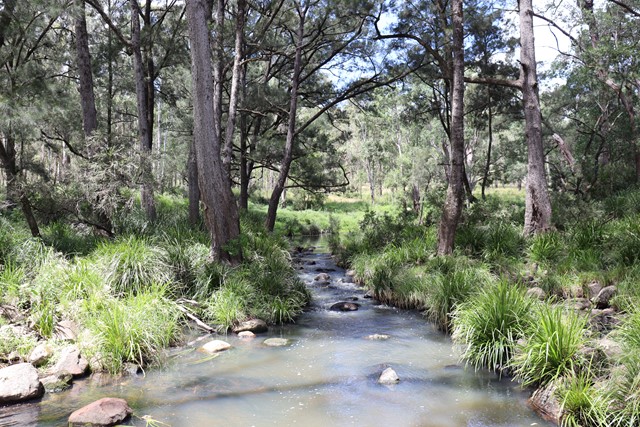
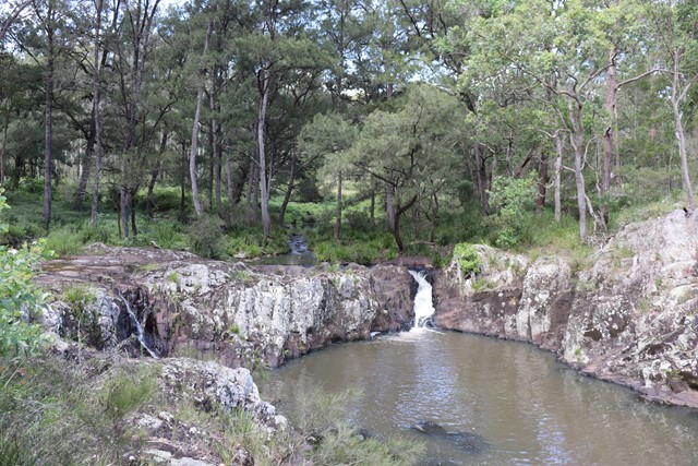
Short walk in Koreelah National Park to the falls and then along the top of the gorge.
Waterfalls
Lookouts
Swimming
520m
Maximum Elevation

Getting there
How do you get to the start of the walk?
From Koreelah Creek Campground or the carpark just past the campground.
Maps
Which maps cover the area?
Maps of Koreelah National Park
Route/Trail notes
A detailed description of the walk!
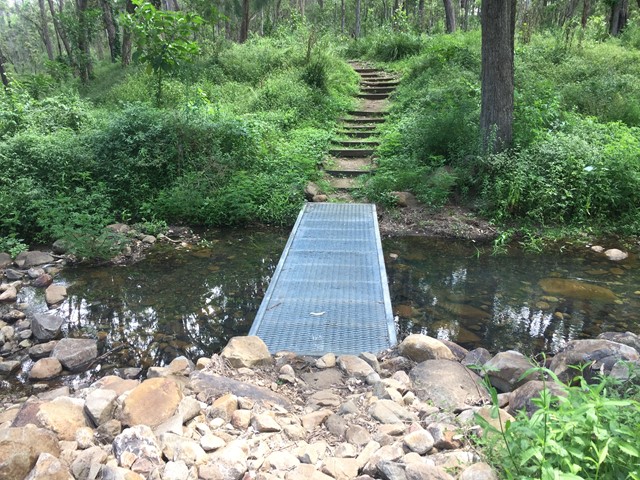
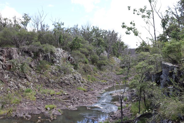
From Koreelah Creek Campground or the carpark just past the campground the trail heads over a little bridge to the top of the falls and continues on from the clearing above the falls along the top of the gorge till the edge of the national park.
Permits/Costs
Do you need any permits? What's the cost?
Free
Other References
How can I find more info? Any guide books?
https://www.nationalparks.nsw.gov.au/things-to-do/walking-tracks/gorge-walking-track
GPS Tracks
- No GPS available for this walk yet.
 800
800 30
30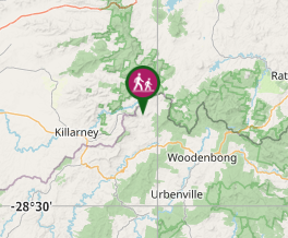
Comments