
Dandahra Crags Walk
Gibraltar Range National Park


Menu
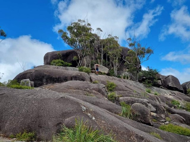

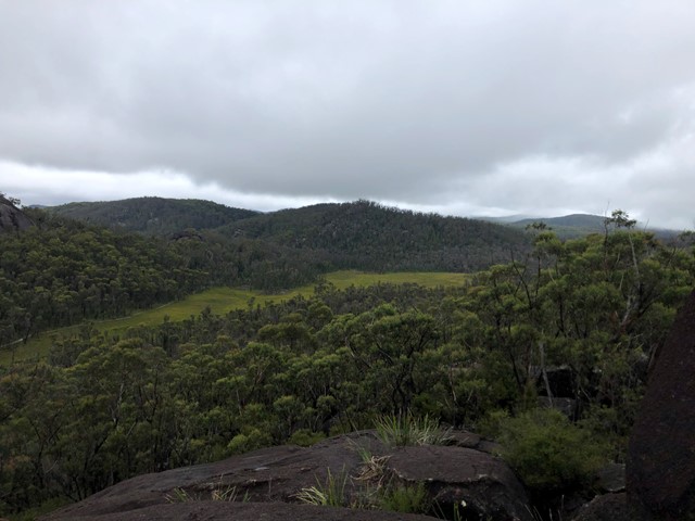
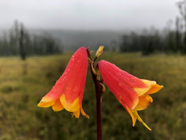
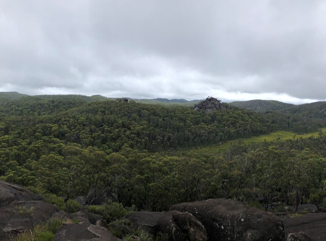
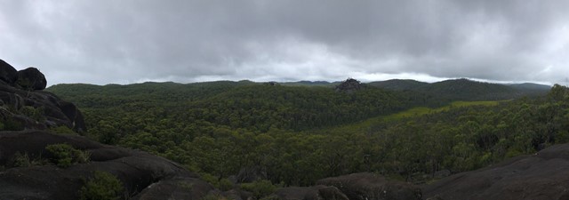
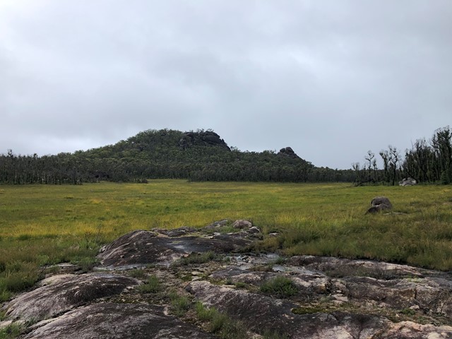
With its crags and swamps, Dandahra Crags walking track is a unique track within Gibraltar Range National Park. Through spring and summer, the wildflowers are on display around Surveyors Swamp, which the track skirts. In winter, get up early and watch the sun rise over the frost-covered swamp from the top of the crags. You’ll be rewarded for your efforts. Bring your camera along to record the experience. The area, with its montane swamps, huge granite outcrops and wildflowers, is quite a photographer’s paradise. Binoculars will also come in handy for birdwatching.
Dandahra Crags walking track is great for people looking for a moderately-challenging hike with a bit of a climb at the end. Pack a picnic lunch and enjoy the scenic views out towards Raspberry lookout and Mann River Valley from the top of the crags.

Getting there
Dandahra Crags walking track is in the Mulligans precinct of Gibraltar Range National Park. To get there:
- Travel 68km east from Glen Innes or 92km west from Grafton along Gwydir Highway
- Take Mulligans Drive entrance to Gibraltar Range National Park
- Drive for 4km to reach the Anvil Rock walking track carpark
GPS Tracks
- No GPS available for this walk yet.
 6
6 2.5
2.5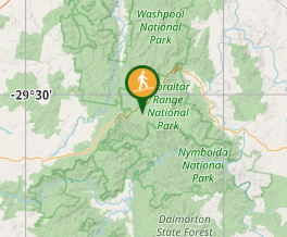
Comments