
Menu
Popular Walks
-
Grand Canyon Track
(55 ticks) -
Echo Point to Scenic World via Giant Stairway
(25 ticks) -
Three Sisters Walk
(25 ticks) -
Prince Henry Cliff Walk
(19 ticks) -
Wentworth Pass
(18 ticks)
Parent Regions
Summary
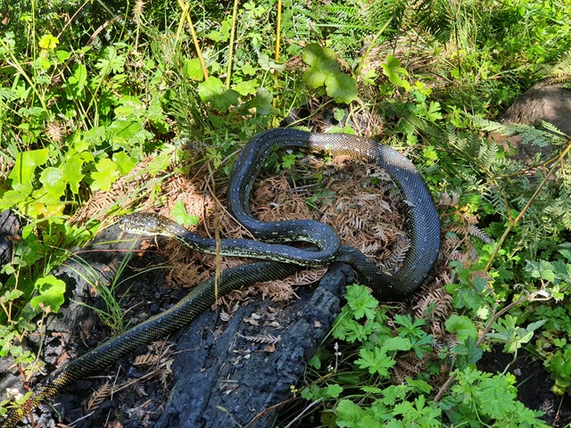
The Blue Mountains National Park is one of the most popular in Australia. 81kms west of Sydney, it boasts more than 140kms of walking tracks with spectacular scenery and wildlife.
Popular Walks
-
Grand Canyon Track
(55 ticks) -
Echo Point to Scenic World via Giant Stairway
(25 ticks) -
Three Sisters Walk
(25 ticks) -
Prince Henry Cliff Walk
(19 ticks) -
Wentworth Pass
(18 ticks)
Parent Regions
Walks in Blue Mountains National Park

 7
km
return
7
km
return
 2
hrs
2
hrs
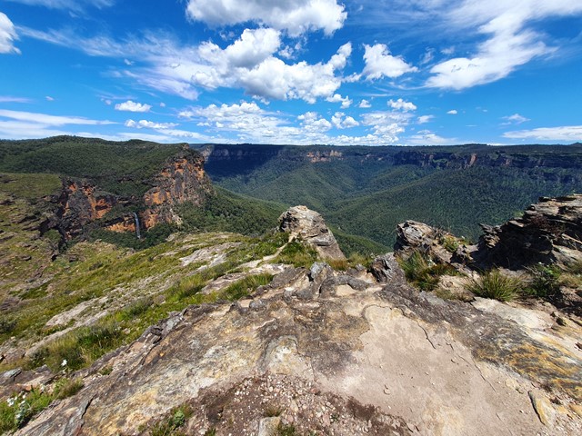
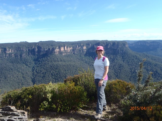
Lockleys Pylon
Lockleys Pylon walking track, just near Leura, is an easy walk offering scenic views, outstanding photography opportunities, wildflower displays and birdwatching. It's possible to extend this walk by taking a (steep) track down to the Blue Gum Forest.
 1.7
km
return
1
hr
1.7
km
return
1
hr
Lyrebird Dell Walking Track
A loop walk from Gordon Falls picnic area down to Gordon Creek to the Pool of Siloam then Lyrebird Dell and returning to Gordon Falls picnic area. Incorporates parts of the Pool of Siloam walking track.
 5.4
km
return
3
hrs
5.4
km
return
3
hrs
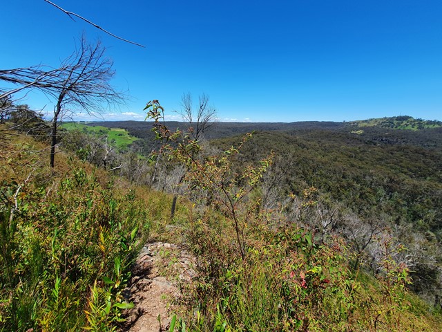
Martins Lookout to Lost World Lookout
A half-day walk with nice views in the lower Blue Mountains – be prepared for some short but tough climbs. Starts at Lost World Lookout before descending to the bottom of the valley, and back up the other side to Lost World Lookout. Steep and rough track up from the creek, but nice views once you reach the ridge on the opposite side.
 2.7
km
return
90
mins
2.7
km
return
90
mins
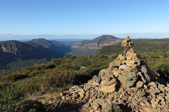
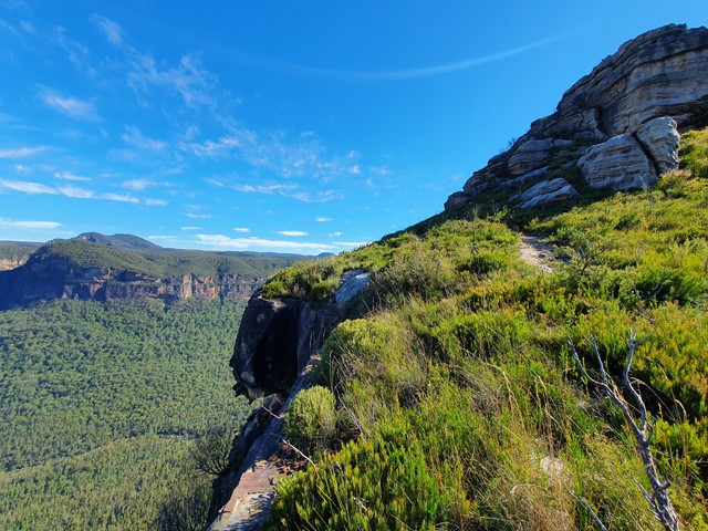
Mount Banks Summit Loop
A walk up the ridge past the Caley Monument to a small loop which takes you up to the summit of Mount Banks.
16
km
return
6
hrs
Mount Solitary
This day hike takes you on the Golden Stairs, past the Ruined Castle rock formation, and a rock scrabble up to Mount Solitary. Amazing views of the across Jamison's Valley and surrounding areas. Like all the guidebooks and signs say, this is for experienced bushwalkers and I would highly recommend not doing it solo due to the exposure during the scrabble up to Mount Solitary. If you feel like walking a little further, there are aboriginal cave paintings at Chinaman's Gap. Please be respectful and follow all instructions on the signs.
 12.2
km
return
4
hrs
12.2
km
return
4
hrs
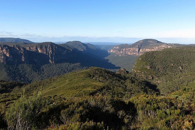
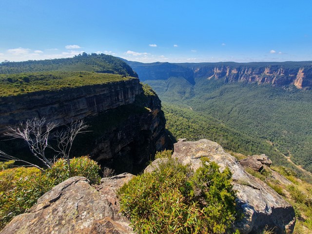
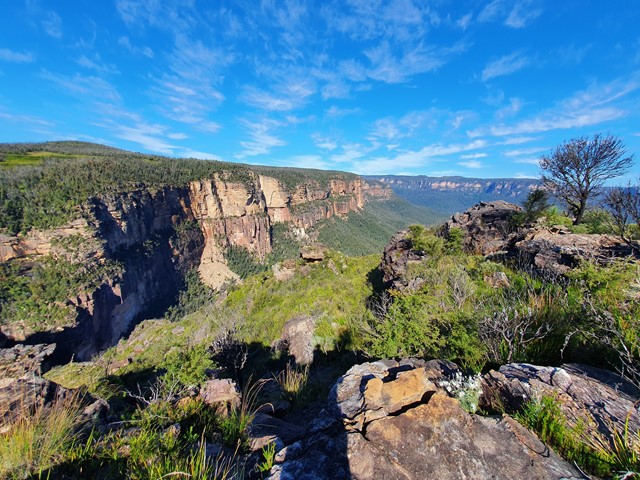
Mt Banks Summit & Walls Loop
A nice half day circuit featuring Mt Banks and a scenic hike along the edge of the Grose Valley.
 5.1
km
return
3
hrs
5.1
km
return
3
hrs
Mt Hay + Butterbox Point
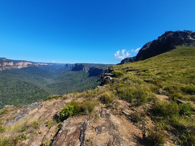
A moderate hike in a lesser known part of the Blue Mountains with fantastic views the whole way.
 10.3
km
return
4
hrs
10.3
km
return
4
hrs
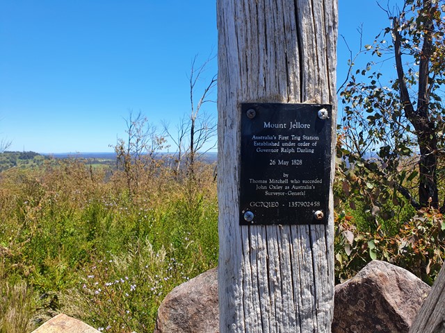
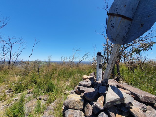
Mt Jellore
A nice half day walk along fire trails and forest tracks to the summit of Mt Jellore where you will find Australia's first trig station.
 29
km
one-way
2
days
29
km
one-way
2
days
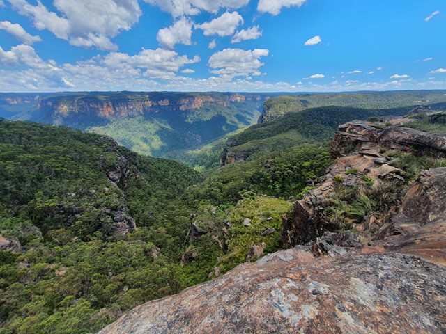
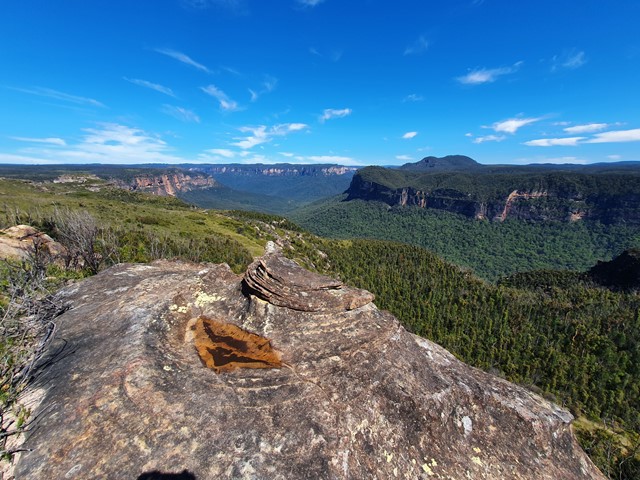
Mt Victoria to Blackheath via Blue Gum Forest
The longest of the Grose Valley bushwalks is from Mt Victoria to Blackheath via Blue Gum Forest, which follows the Grose River from Victoria Falls to the Blue Gum Forest and then Govetts Creek to Evans Lookout at Blackhheath. You could also ascend via Govett’s Leap, making the walk slightly shorter, or take the spectacular Grand Canyon track to finish at Neates Glen. It can be done as a 2-day walk, or three days if you camp at Burra Korain near Victoria Falls and then at Blue Gum Forest (Acacia Flat).