
Mount Iron Loop
South Island NZ


Menu
GPS Tracks
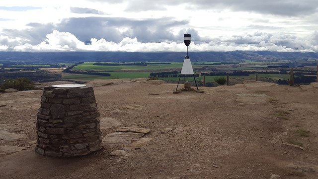

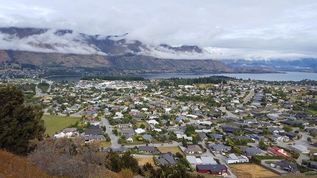
Mount Iron is an impressive, glacier-carved, 240-metre rocky knoll. From its summit a great panorama unfolds: Lakes Wanaka and Hawea, Pisa Range, the Cardrona and Upper Clutha Basin and all the surrounding peaks of the Southern Alps; many of them in Mount Aspiring National Park in the west.


Getting there:
Take the main road State Highway 84 east out of Wanaka and after 2km, the large car park is on your left under the hill.
Maps:
Route/Trail notes:
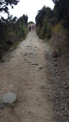
The track begins over the stile by the car park and taking the left fork, climbs through low kānuka scrubland on Mount Iron's western side to the summit. After taking in the view and the information on the panels at the top, follow the track to descend on the eastern side and return round the foot of the hill to the car park.
Permits/Costs:
None.
Other References/Comments:
As with most South Island towns, there are always numerous tracks in and around the area. In this case most notably are Roy's Peak and Isthmus Peak Track. Oh, and don't forget a visit to the Wanaka Tree at Sunset.
 301 Mount Iron Loop (GPX)
 4.7
4.7 105
105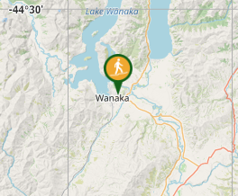
Comments