
Mt. Ngauruhoe (aka Mt Doom)
North Island NZ


Menu
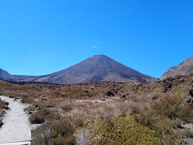
The volcano where the one ring to rule them all was forged, or more accurately the volcano Mt Doom was modelled off for Lord of the Rings movies. Located just off the track on the Tongariro Crossing is a very intimidating climb to the summit of Mt Ngauruhoe. In recent years climbers have been encouraged not to climb it due to the dangers involved with climbing to the summit.
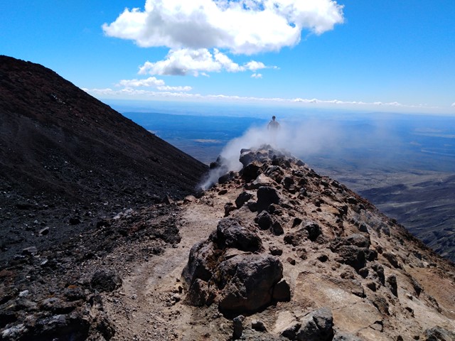
*On way up make sure to use the solid ground of the ridge line otherwise you will end up sliding down as much as you gain height with each step. This is very important to remember if you are going to try to summit Mt. Ngauruhoe.*
On the way down you will be able to 'scree ski' down which allows you to make it down the mountain very quickly around half an hour where as getting up would've taken around two hours.

Getting there
Go to the end of Mangatepopo Rd (dirt road) to find a medium sized carpark. That is the entry to the Tongariro Crossing track.
Route/Trail notes
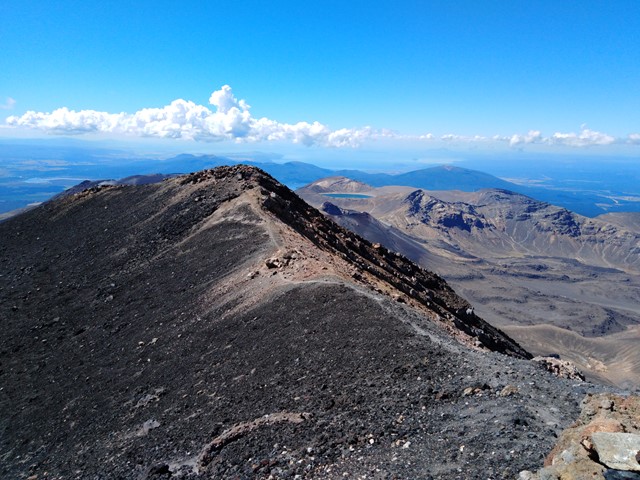
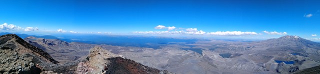
Starting from the Mangatepopo Rd car park make your way down a very clear track that runs beside a creek. For the first few kms the track is quite flat but eventually you will get to a long stair case that ascends to the saddle between Mt Tongariro and Mt Ngauruhoe. From here you leave the main track and follow a faint track up the side of the volcano. Try and aim for the more stable ground as most of the mountain is just loose rocks on an extremely steep incline. It is hard going, you will be on your hands and knees trying to gain ground without sliding back down until close to the summit when the ground becomes stable enough to scramble up. At the top it is all worth it with amazing views of the Tongariro crossing and all the massive craters along the way. Descent back down the volcano is much quicker, it's a combination of walking and sliding and if you are coordinated enough you can get down pretty quickly.
Permits/Costs
Parking at Mangatepopo is limited to 4hrs. Either organise to be dropped off and picked up, or pay to get a shuttle to pick you up and drop you off. Alternatively parking is free from the other end of the Tongariro crossing, however this will increase the length of the walk.
GPS Tracks
- No GPS available for this walk yet.
 8
8 6
6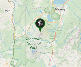
Comments