
Menu

 500
m
return
500
m
return
 30
mins
30
mins
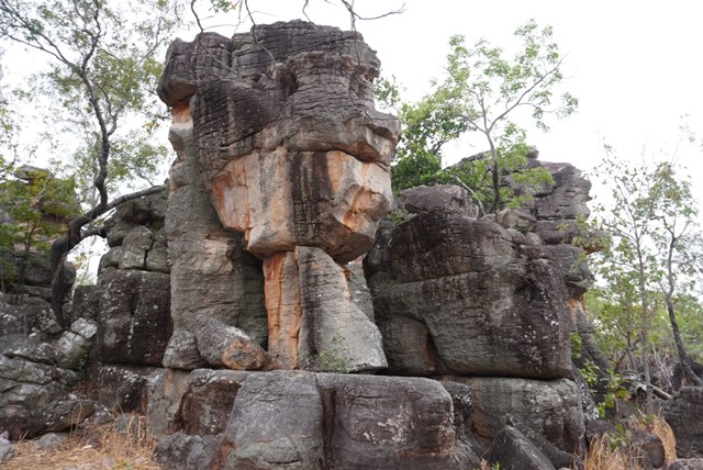
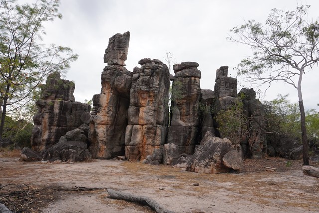
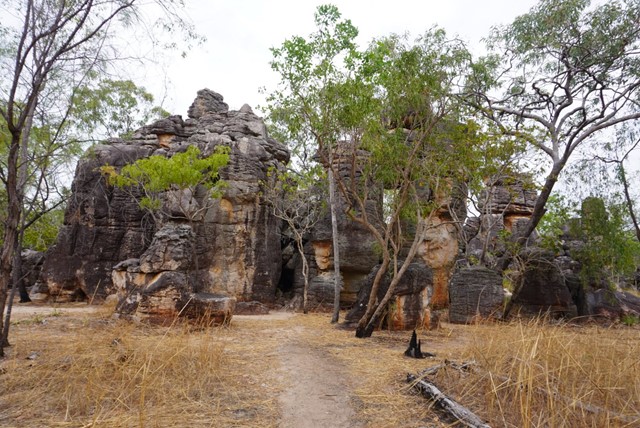
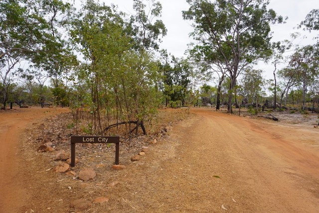
The Lost City
The Lost City is a series of impressive towering sandstones in Litchfield National Park. The vast array of these rock formations gives the impression of ancient city ruins.
Access to The Lost City is via a 4WD access road from Litchfield Park Road between Buley Rockhole and Tolmer Falls.
The 10km dirt track can be of varying difficulties depending on the time of year.
The attraction closes during the wet season when the track becomes completely impassable.
Camping is not allowed and there are no facilities.
 3.4
km
return
90
mins
3.4
km
return
90
mins
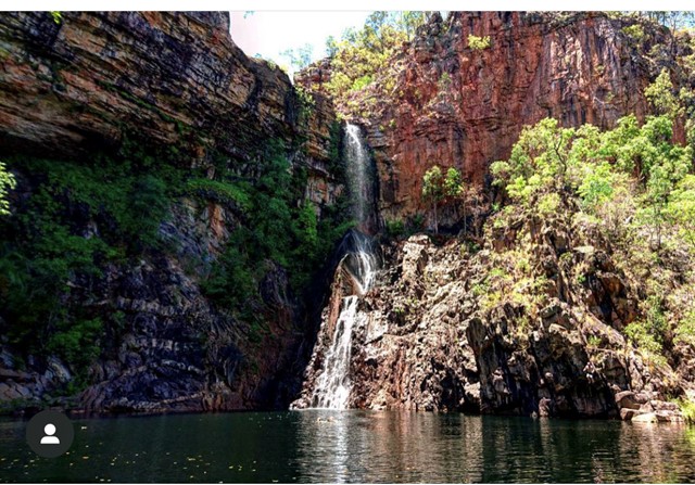
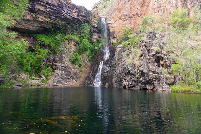
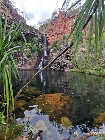
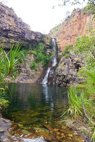
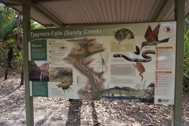
Tjaynera (Sandy Creek)
There is a moderate 1.7km track leading to the Tjaynera falls swimming hole.
 3
km
return
90
mins
3
km
return
90
mins
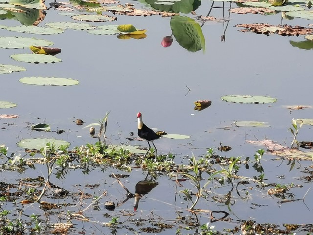
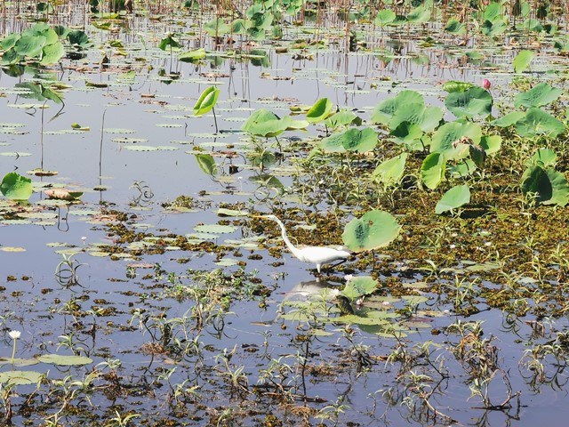
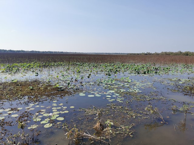
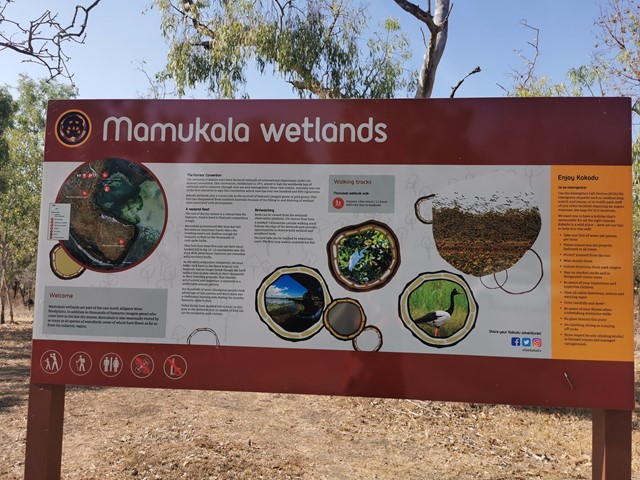
Mamukala Wetlands
Mamukala wetlands is a bird-lover’s dream. This short walk allows bird-watchers to see an astonishing variety of bird life.
Birdlife
Nestled into the paperbarks is an observation platform that allows you to quietly view the birdlife, there is also a mural that illustrates the seasonal changes that occur throughout the year.
With large numbers of magpie geese, kites, comb-crested jacanas, cormorants, willie wagtails, purple swamp hens, finches and kingfishers that congregate in this magnificent billabong this makes for one of the best birdwatching areas in Kakadu.
If you are lucky you may even spot an agile wallaby or the occasional crocodile loitering around the edge of the billabong.
 800
m
return
30
mins
800
m
return
30
mins
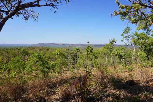
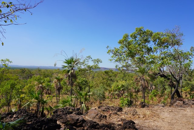
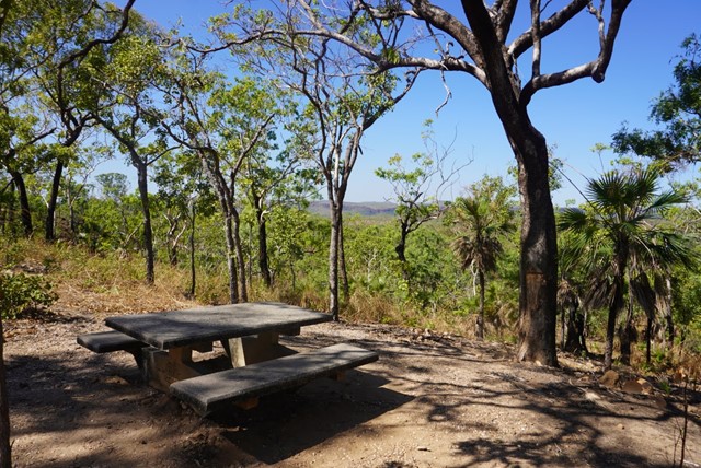
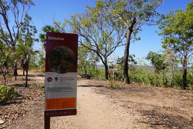
Bukbukluk Lookout
A lovely little spot for a picnic lunch, this short, pretty walk is suitable for all the family.
Enjoy views of old Goodparla Station and the southern hills and ridges.
 6
km
return
6
hrs
6
km
return
6
hrs
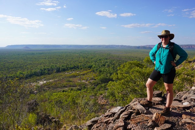
Twin Falls Escarpment Walk
Twin Falls escarpment walk
FEATURES: Hike to the top of the Arnhem Land escarpment,
pass through monsoon vine forest and admire
ancient sandstone formations from the lookout.
Follow the creek to the track’s end.
DISTANCE: 6 km return
TIME: Allow 6 hrs
GRADE: Difficult, marked track.
 6
km
return
6
hrs
6
km
return
6
hrs
Barrk Marlak Walk
FEATURES: Rugged ascent to the top of the escarpment,
through Anbinik forests and across exposed
sandstone heath country to the top of Jim Jim Falls.
DISTANCE: 6 km return
TIME: Allow 4–6 hrs
GRADE: Difficult, steep climb, marked track.
2
km
return
90
mins
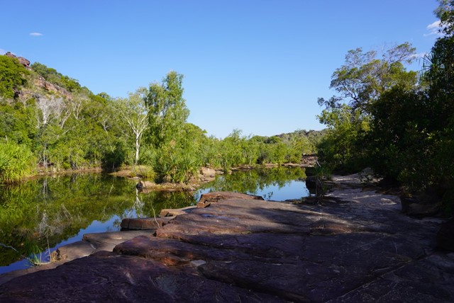
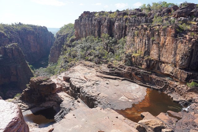
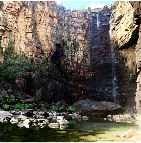
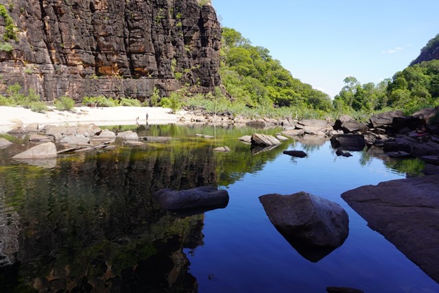
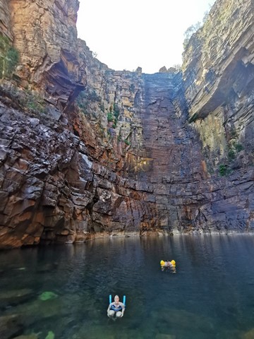
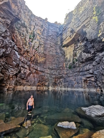
Jim Jim Falls
Immerse yourself in rugged natural surroundings as you navigate challenging walking tracks to the Arnhem Land plateau.
Jim Jim Falls features a 2 km return walk through monsoon forest and over boulders to a deep pool. The waterfall flows from the start of the tropical summer until mid-July.
 2
km
return
90
mins
2
km
return
90
mins
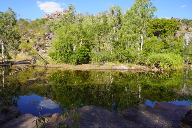
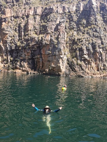
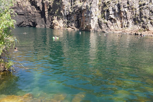
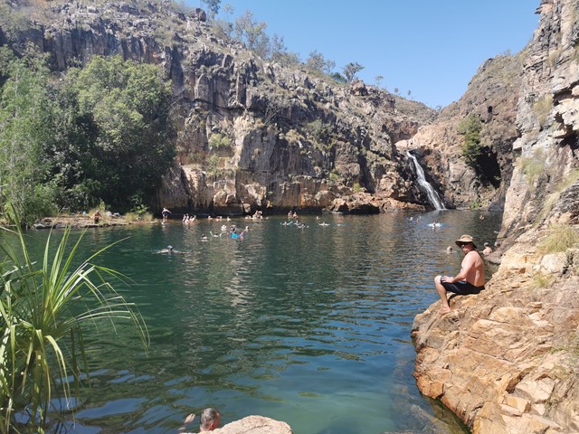
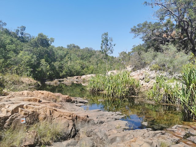
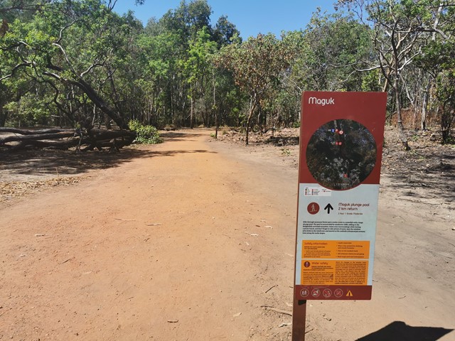
Maguk (Barramundi Gorge)
This dazzling waterfall spills from steep gorge walls into a pristine natural pool. A short monsoon rainforest walk delivers you to this stunning location where lush vegetation and beautiful wildlife is found.
Rainbow pitas, emerald doves and spangled drongos are common here while endemic Anbinik trees – the biggest trees in Stone Country – find refuge in the forest. You emerge near the end of the trail into a bouldered river section. From here you can continue on the marked trail across the river to the main plunge pool set in an immense stone amphitheatre.
Reach it via the Maguk walk, an hour’s drive south of Cooinda.
 600
m
return
30
mins
600
m
return
30
mins
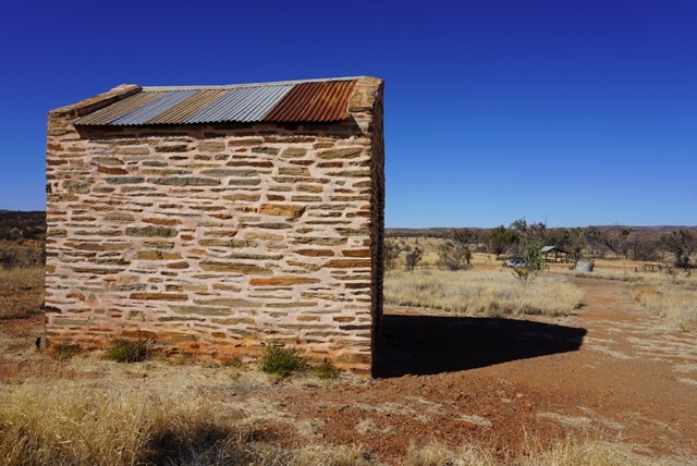
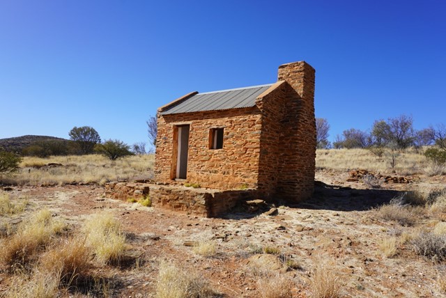
Great Western Mine (Arltunga Historic Reserve)
Great Western Mine: a self guided walk, 600 m return. This walk will take you to what was once the second most productive mine at White Range, producing 600 ounces of gold. Scramble into this cavernous mine and explore its many secrets. Along the track you will discover the remains of miners stone buildings, and wooden buildings left from later miners that reworked the area. A walk information sheet is available from the carpark.
200
m
return
1
hr
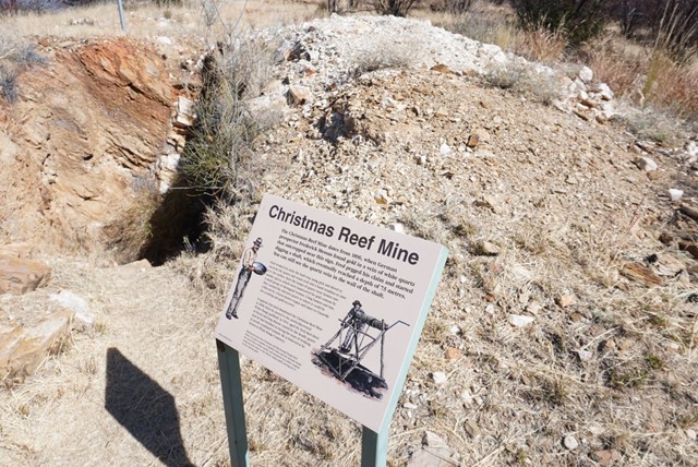
Jokers Mine & Gorge (Arltunga Historic Reserve)
Joker Mine
From the buildings, you can take the steep 150m walk up the hill through the spinifex and Blue Mallee to the Joker Mine. Walk towards the mullock heap on the edge of the gully. Here you will find an adit (horizontal drive), which up until 1905 had yielded .
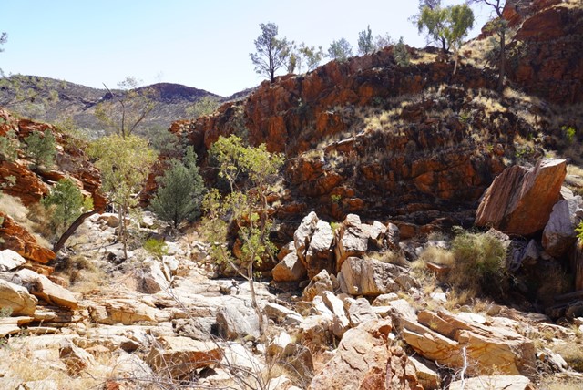
Joker Gorge
Joker Gorge rewards the walker with some stunning scenery. It is also home to some of Arltunga’s most interesting wildlife. This gorge contains the only source of semipermanent surface water within the reserve, and hence wildlife is more concentrated here. The large rocks, overhangs, and steep cliffs provide ideal habitat for Black-footed Rockwallabies. If you are quiet you will be able to spot them here at any time of the day. You may be able to see droppings of Dingoes and Echidnas. Spinifex Pigeons, Crested Pigeons, Zebra Finches, and Honeyeaters are common here.
 1.7
km
return
45
mins
1.7
km
return
45
mins
Historic Mines Walk - Golden Chance Mine (Arltunga Historic Reserve)
Golden Chance Mine: a self guided walk, 1.7 km return. The walk to this mine offers the opportunity to examine one of the miners huts of ‘dry stone’ construction. Also from the mine, a short 200 m ascent to the top of the hill will reward you with a spectacular panoramic view of Arltunga. A walk information sheet is available from the carpark.
900
m
return
30
mins
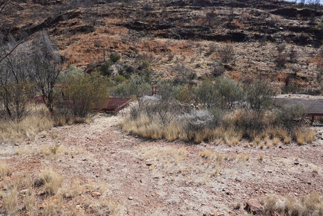
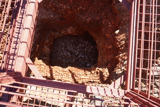
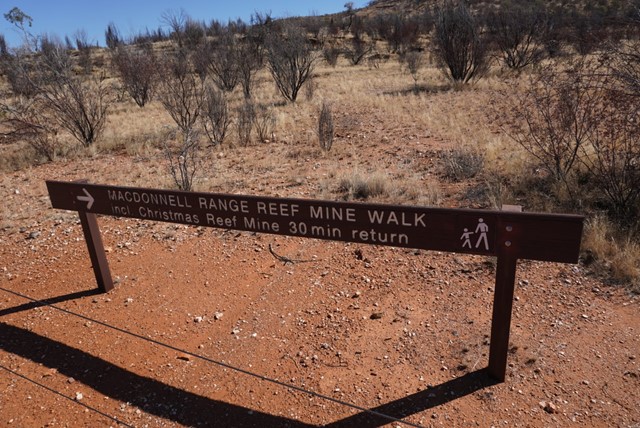
Historic Mines Walk - MacDonnell Range Reef Walk (Arltunga Historic Reserve)
Historic Mine Walks: MacDonnell Range Reef Mine: a self guided walk, 0.9 km return. Access to the underground section of this walk has been closed due to safety concerns. A walk information sheet is available from the carpark.
 200
m
return
5
mins
200
m
return
5
mins
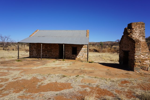
Old Police Station (Arltunga Historic Reserve)
The Old Police Station: was built in 1912, and was the subject of the Reserves most major reconstruction effort in 1985. Step into the gaol and sense what it might have been like to be a prisoner in those days. Nearby you can examine the Two stamp Battery erected to crush White Range ore by the McIntyre family in the late 1950s. Nearby is Kangaroo Well, a 23 m deep permanent water supply, which was one of the most productive wells in the district.
 250
m
return
30
mins
250
m
return
30
mins
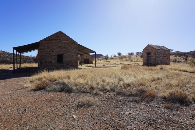
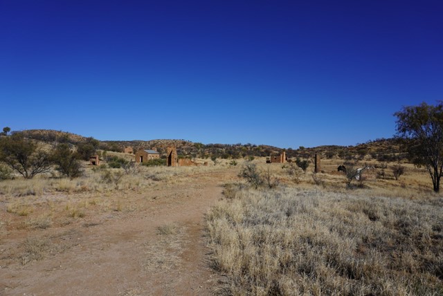
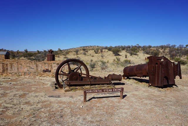
Government Works (Arltunga Historic Reserve)
Government Works: self guided walk, 250 m return. This area containing Arltunga’s richest collection of historic buildings and associated sites for the visitor to discover. Pick up a brochure from the pamphlet box at the carpark and explore the site of the Government Battery and Cyanide Works, which once processed the quartz ore of the area to find the elusive gold. Walk through the Manager’s and Assayer’s Residence and compare the government officials accommodation to that of the miners which can be seen elsewhere in the Reserve. Also stroll about the remains of the Post Office, Blacksmith Shop, Gold Room and offices. You can also enjoy a short walk to the Police Station of 1.5 km (20 - 30 minutes). A walk information sheet is available from the carpark.
 11.3
km
return
5
hrs
11.3
km
return
5
hrs
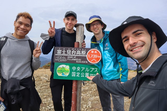
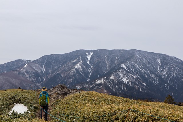
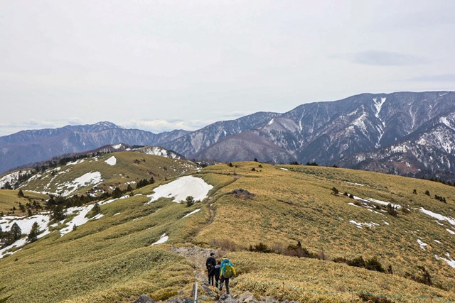
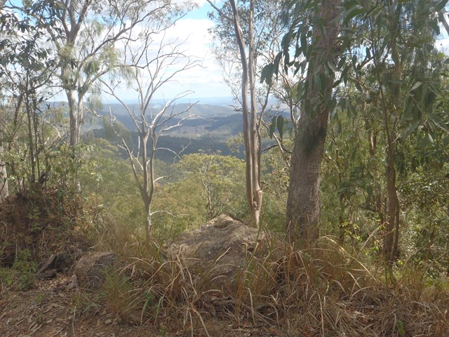
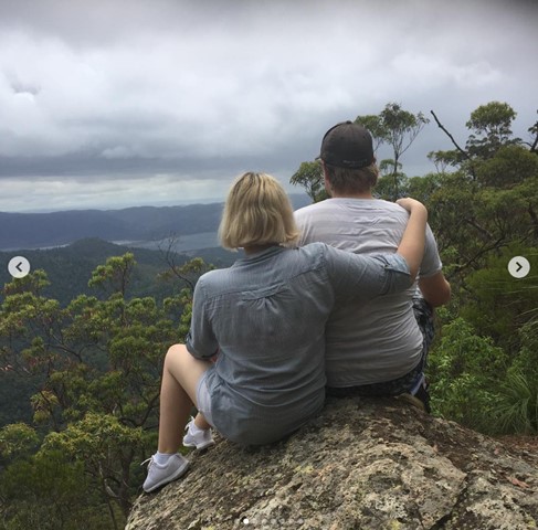
Fujimidai 富士見台 (Gifu/Nagano Prefectures)
Fujimidai is part of the Chuo alps quasi national park in Gifu/Nagano prefectures. It literally translates as Mt. Fuji viewing area. On a clear day, you can see Mt. Fuji way out in the distance. From the top of Fujimidai, it was 360 MLG no-scope views of the central and southern alps. It's pretty spectacular and worth the hike.
 18
km
10
hrs
18
km
10
hrs
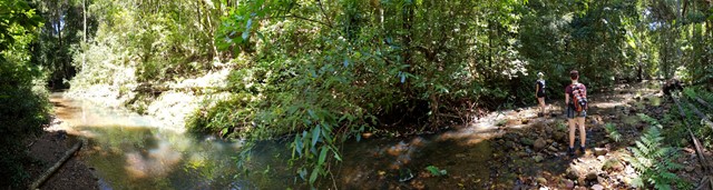
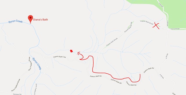
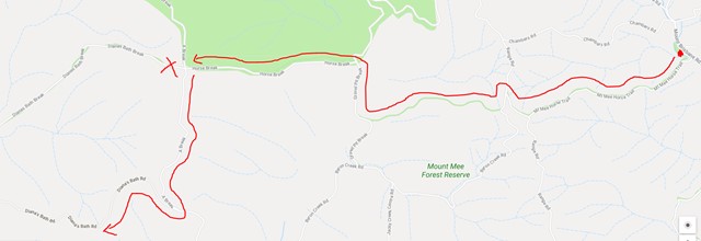
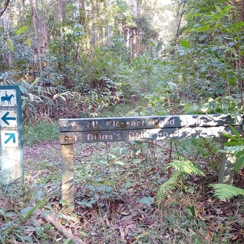
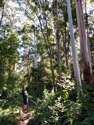
Mt Mee Horse Trail - Dianas Bath
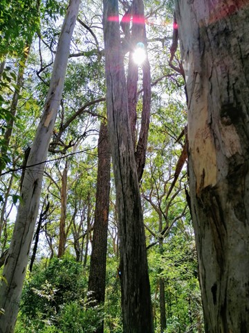
Follow the Mt Mee horse trail through a variety of forests to a stunning natural waterhole known as Dianas Bath.
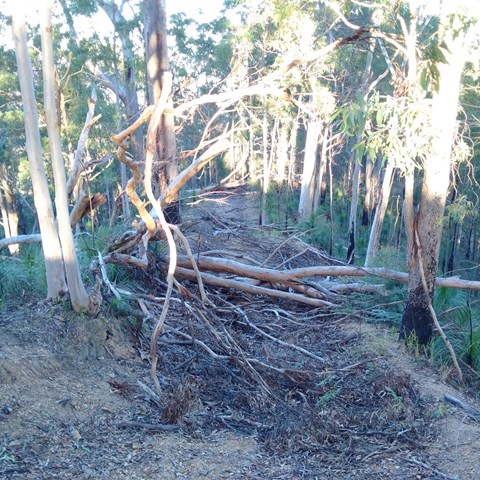
This walk traverses two peaks, with a total rise and descent of 600m each way (so 1.2kms overall!!). The trail is loose weathered gravel and stones, is often very rutted and is quite slippery going up and much more slippery going down! The hills are between 15-29% gradients and quite long so you need to be very fit.
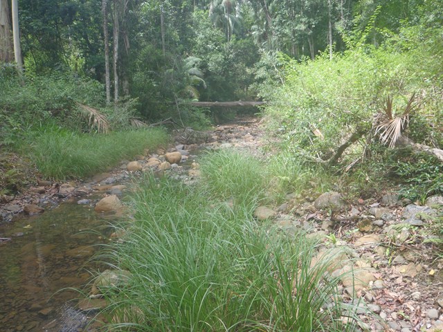
Much of the trail is overgrown with grasses and lantana, as well as the occasional fallen tree but the waterhole at the end is worth the walk, and definitely worth a swim!
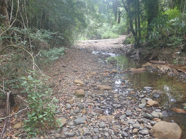
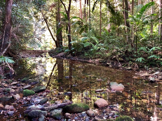
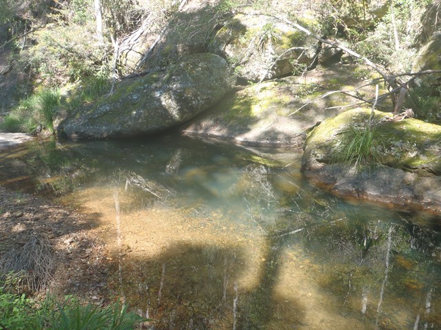
Just after the first descent you cross Byron creek, which flows all year round and the rocks can be quite slippery. The water in this creek is a stunning shade of blue and crystal clear!
Start and end at the carpark just off Mt Brisbane rd - no messing around here - the walk immediately starts up to the peak of the first hill.
This walk should take between 7-10 hours with breaks dependent on your level of fitness and the state of the track.
 12.5
km
return
5
hrs
12.5
km
return
5
hrs
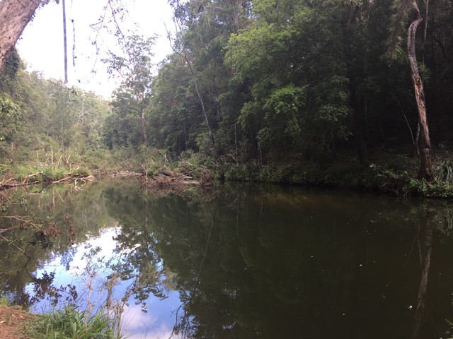
Upper Byron Creek
A lovely walk along the crest of the D'Aguilar Range with a creek to walk along.
 15.25
km
return
5.5
hrs
15.25
km
return
5.5
hrs
Byron Creek Circuit
Walk in undulating country with some steep hills to Byron Creek with its crystal clear waters, waterholes as well as mountain top views from the ridges.
 200
m
return
10
mins
200
m
return
10
mins
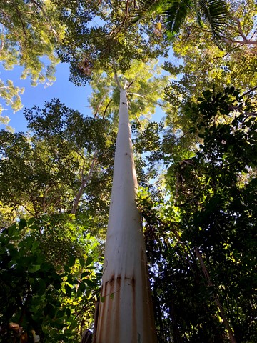
The Broadwater
Laze beneath tall, majestic gum trees at the picturesque day-use area and enjoy the company of local wildlife residents—koalas, kookaburras and lace monitors.
Take a short stroll to Neurum Creek where a forest-fringed waterhole provides a popular spot for a refreshing swim.
 1.3
km
return
1
hr
1.3
km
return
1
hr
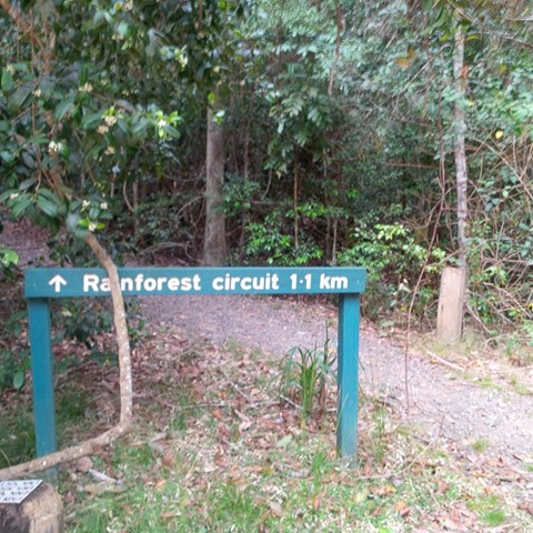
Mill Rainforest Walk
Part of the Mt Mee section of the D'Arguilar National Park.
This subtropical rainforest track provides great opportunities for birdwatching. The track entrance is accessed by a short unsealed formed gravel road