
Menu

 19.07
km
one-way
19.07
km
one-way
 4
hrs
4
hrs
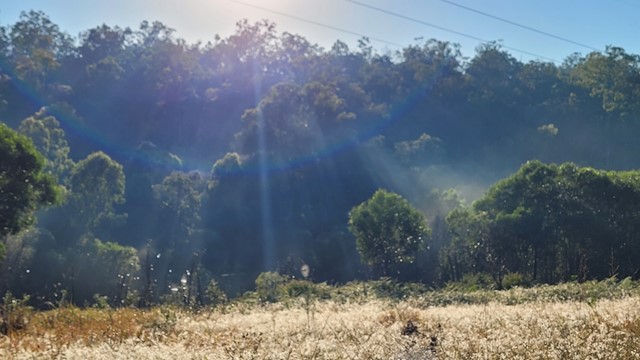
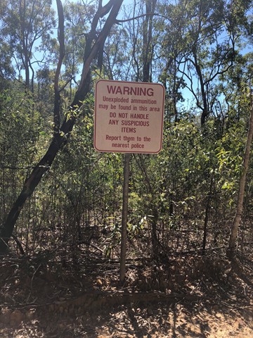
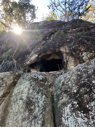
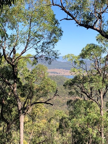
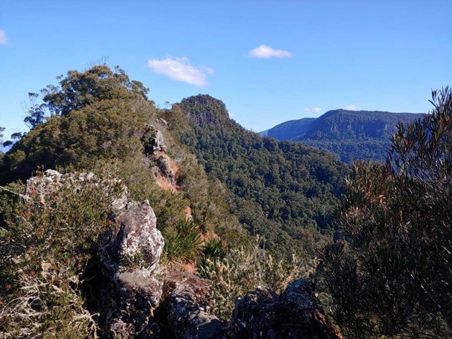
Paper Back Flats Picnic Area to Spring Mountain
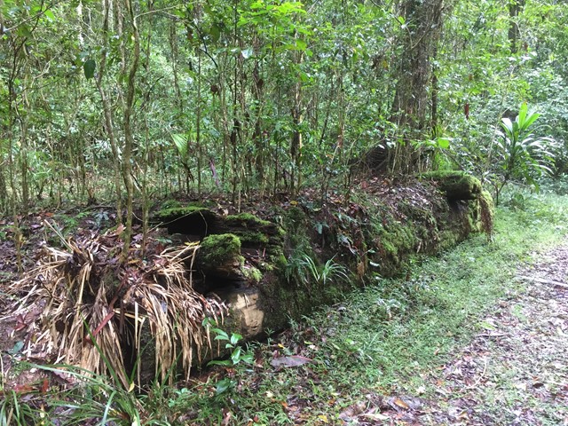
A varied terrain walk. Sandy in parts, then really rocky in some. The first part of the walk I followed mainly the Spring Mountain fire trail which was mostly flat. When I got to Back Alley trail it started inclining for about 2kms till I got to the Spring Mountain. I climbed as far as the first cave I came across then didn’t climb the rest... although it looked doable, I was by myself and didn’t want to push my luck. It was about 10km on the way up. Return trip I went down the Daisy trail which seemed to be an old mountain bike trail. It descends quickly and is rocky, eroded in parts and hard to walk on and requires a lot of scrambling and concentration. I then got to Narelle’s Climb, this terrain has been gravelled at some stage. I also saw a red belly black snake!! I decided to bypass White Rock as I’d seen it enough times and head back to where I started. Was about 9km on the way back. If I do it again I will do it in reverse and go via White Rock.
 2.5
km
return
1
hr
2.5
km
return
1
hr
Mount Lofty
From Red Rock Gorge Campsite pick up the old National Park boundary fence and follow this rough line to the summit.
 500
m
return
30
mins
500
m
return
30
mins
Red Rock Gorge Lookout Track
A short walk from Red Rock Gorge Campground to the Red Rock Gorge Lookout where Red Rock Falls flows in the wet.
100
m
return
10
mins
Teviot Falls Lookout
A short roadside stop to views of Teviot Falls, Main Range and into the scenic rim.
8.6
km
return
2.5
hrs
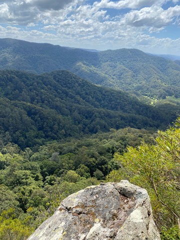
Mount Baldy and Yabi Mountain
Nice 3hr walk with two summits and views back over Atherton and the tablelands.
If you're looking for something longer then the 3km circuits but shorter then the multi-day hikes!
Very well maintained track, well signed with options of doing this full circuit or just one summit.
Range of plant life from bush to tropics, we saw hundreds of birds including lots of cockatoos.
Walk is dog friendly.
 1.6
km
return
1
hr
1.6
km
return
1
hr
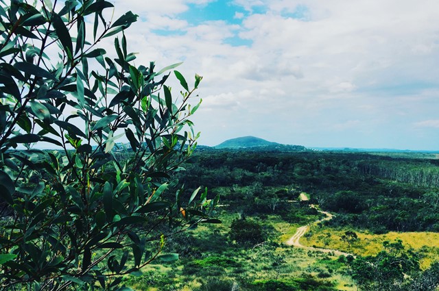
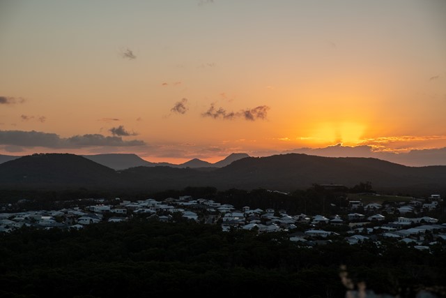
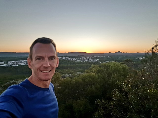
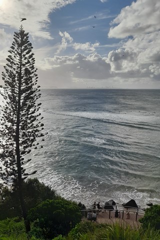
Emu Mountain (Mt. Peregian)
An easy family walk up this hill with great views of the Sunshine Coast.
 4.15
km
return
1
hr
4.15
km
return
1
hr
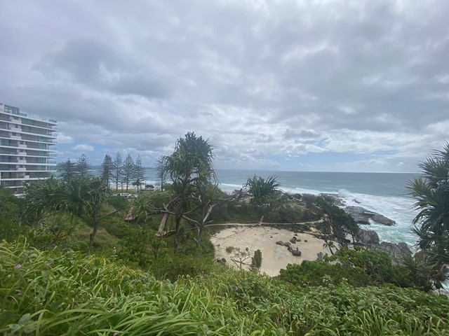
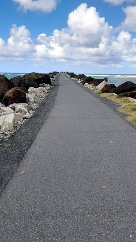
Boat Harbour, Point Danger and North Tweed Circuit
This return walk travels through the Rainbow Bay, Point Danger, the QLD/NSW border and Duranbah Beach (North Tweed). The entire circuit is paved.
 2.8
km
return
45
mins
2.8
km
return
45
mins
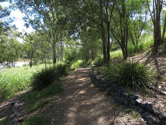
Coucal Trail
An easy walk along the river. Known for its Pheasant Coucal bird population.
 4.4
km
return
90
mins
4.4
km
return
90
mins
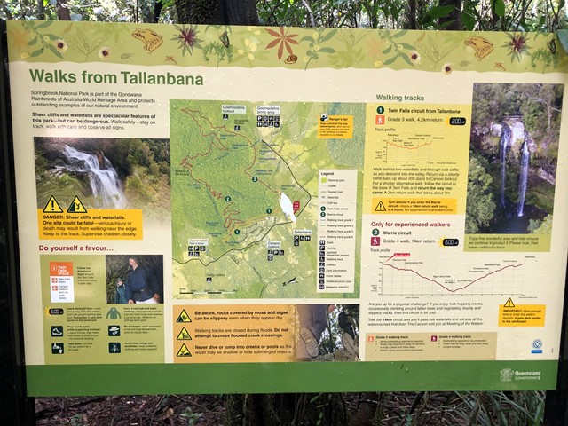
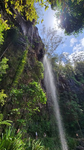
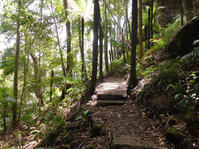
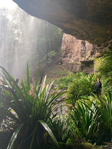
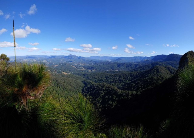
Goomoolahra Falls and Rainbow Falls
No need to complete the full 14 kilometre Warrie circuit, but instead walk 3 kilometres (of the 17 km track) and see at least 3 waterfalls. You are walking along the side of the cliff with sheer drops below and rock faces above.
Very picturesque and one of the nicest walks in Springbrook National Park. Not to be confused with the view of the Goomoolahra Falls from above.
 13
km
return
5
hrs
13
km
return
5
hrs
Waterfall Creek Trail
What starts out as ordinary walk leads to some great rock hopping, swimming and gorge exploring
 14.5
km
return
6
hrs
14.5
km
return
6
hrs
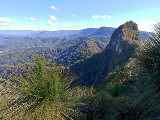
Cougal Cascades to Boyd’s Butte and Mt Cougal East Peak
A circuit walk from Cougal Cascades to Boyd's Butte and Mt Cougal. Includes views from both peaks.
 1.2
km
return
20
mins
1.2
km
return
20
mins
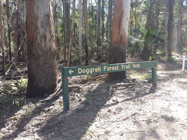
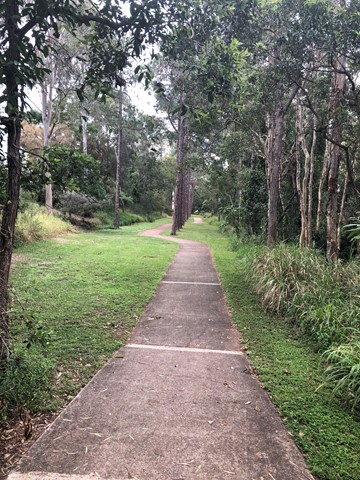
Doggrell Forest
This is a short relaxing walk through the Dogrell Forrest.
Worth it if you are traveling along the Pomona Kin Kin road and need to stretch your legs.
 13.7
km
return
10
hrs
13.7
km
return
10
hrs
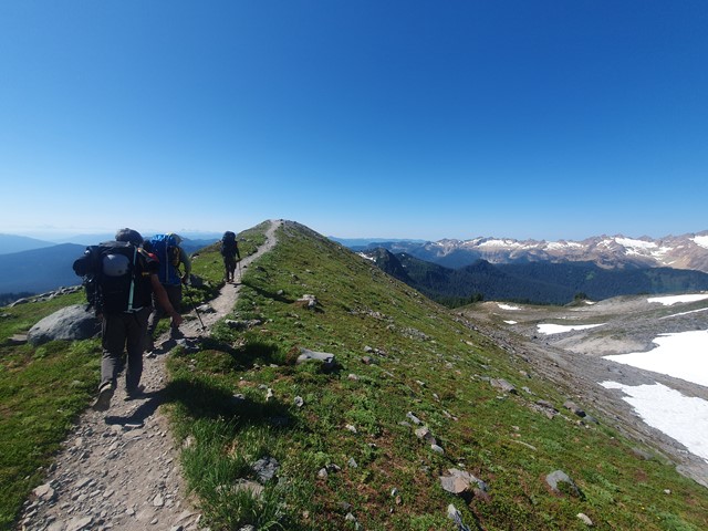
Mt St Helens
A long and progressively steep day walk up the smoldering husk of what remains of Mt St Helens after the 1980 eruption.
 24
km
return
2
days
24
km
return
2
days
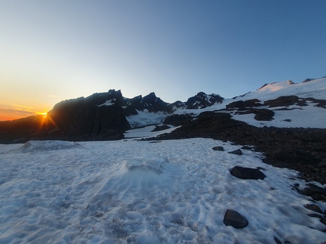
Mt Baker
A challenging alpine ascent to the summit of the stratovolcano Mt Baker - a perfect mountain to learn basic alpining techniques.
 3
km
return
45
mins
3
km
return
45
mins
Beryl Roberts Park
Accessible toilet, barbecue (electric), bikeway network, dog off leash area (Arrunga Street), fitness station (Barham Street), picnic area (Barham Street), playground (Barham Street, Perina Street), public toilet (Barham Street), water (bubbler/tap)
 2.8
km
return
40
mins
2.8
km
return
40
mins
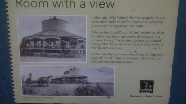
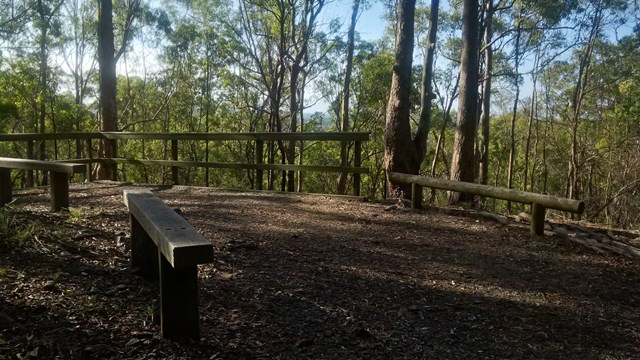
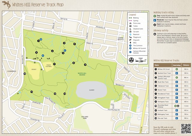
She-Oak Track (Whites Hill Reserve)
Enter via Pine Mountain Road, Follow the signs to the summit and look at the views over South Brisbane
3.4
km
return
1
hr
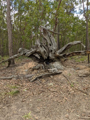
Bloodwood, She-oak, Mahogany and Ironbark Loop (Whites Hill Reserve)
Lovely Aussie scrub bush walk. Keep your eye out for koalas.
 2
km
40
mins
2
km
40
mins
Whites Hill Circuit
A nice urban bushland walk to a peak and lookout to Brisbane's CBD. A few tracks that can be combined to a loop.