
Mt Gudgenby
Namadgi National Park


Menu

A full day bush bash and scramble to the picturesque summit of Mt Gudgenby - the 9th highest mountain in the ACT.

Getting there
The walk commences at the Yankee Hat carpark.
Route/Trail notes
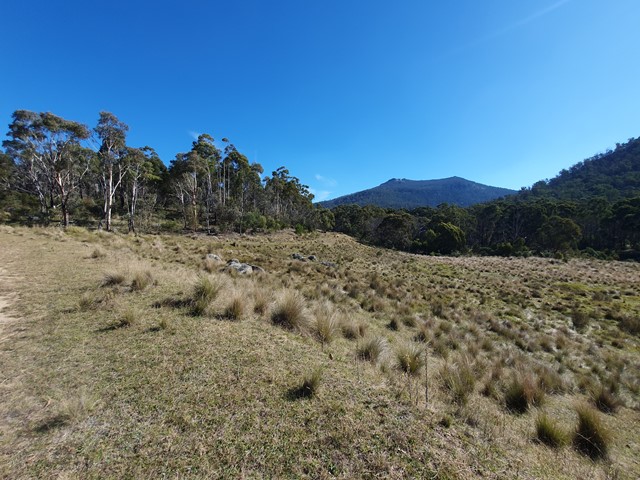
The walk starts off easy enough - a nice tranquil walk along a fireroad watching the 100s of Kangaroos meander through the open plains. Before long a less graded firetrail will appear on your right - this will wind through the countryside passing by Yankee Hat Mountain and heading towards Gudgenby. Eventually you will be required to leave the firetrail and follow a rough poorly marked trail that on your right that will lead towards the saddle. This "track" becomes progressively harder to follow and strongly recommend a GPS. The issue is there are 100s of faint trails through the scrub so very easy to take the wrong one and head off in the complete wrong direction. The vegetation will become more dense as you ascend towards the saddle but as far as bush bashing goes it is relatively easy going.
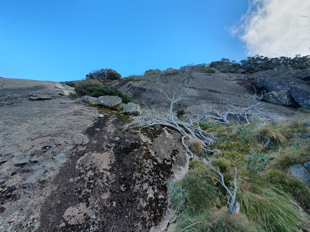
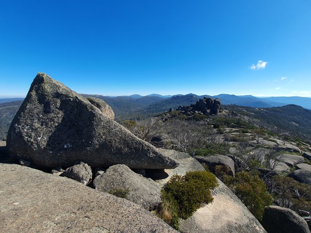
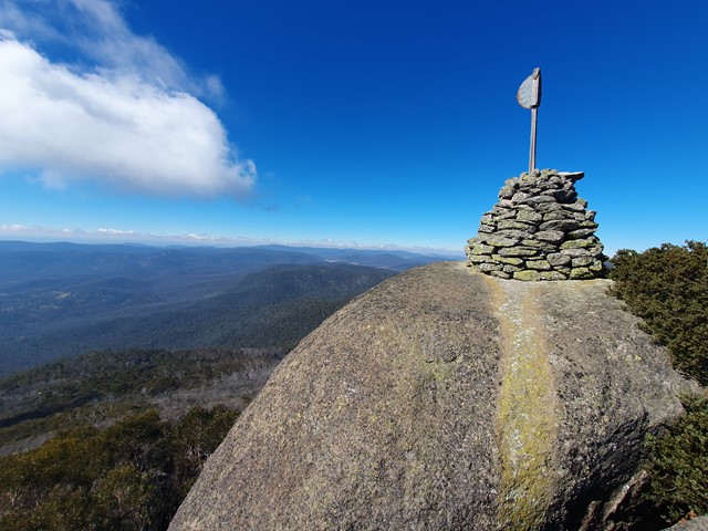
Once at the saddle you will turn right and begin the ascent to the summit. This is where the bush becomes a lot thicker and the track becomes a lot fainter. Invariably you will find yourself fighting through thick sections of scrub while simeltaneously traversing big boulders and fallen trees. As you get higher you will notice more and more granite slabs which provide you with momentary relief from the bushbashing. Approaching the summit (and finally being able to see the enormous summit cairn) you will walk up a huge granite slab - go through a cave and then arrive at the 2 scrambling sections. It is a bit fiddly and requires a bit of upper body strength because you can't really use your legs short of wedging them into a slit in the rock. In saying that it is quite achievable and there isn't really much in the way of exposure. After that you have arrived at the summit where you will be rewarded with incredible views!
Permits/Costs
Nil cost
Other References
https://www.alltrails.com/trail/australia/australian-capital-territory/mount-gudgenby
GPS Tracks
- No GPS available for this walk yet.
 16.3
16.3 8
8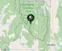
Comments