
Mt Bimberi
Namadgi National Park


Menu

A long and seldom walked track to the highest mountain in ACT.

Getting there
You can approach this mountain from a number of directions, however the most direct is the track starting at Pockets Saddle Road just after the Old Snowy Campground.
Route/Trail notes
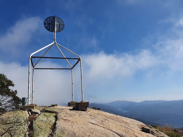
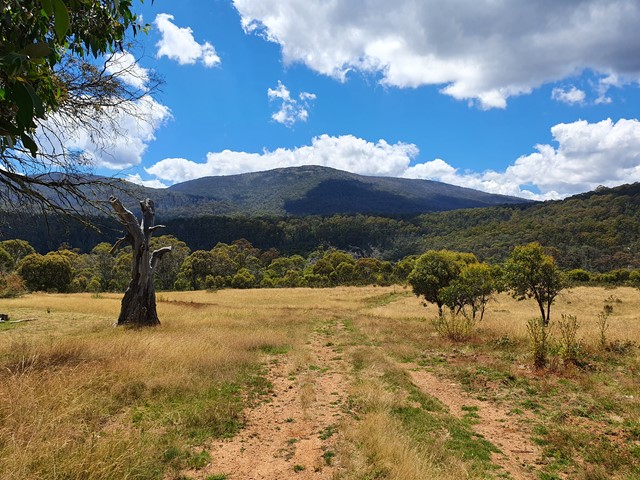
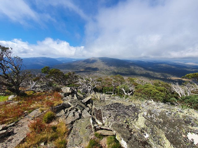
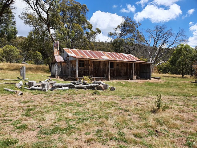
Follow Pockets Saddle Road until you reach a locked gate. If you are in a 4x4 you can park on the side of the road. However if you are in a car you will probably be safer parking around the turn off to Old Snowys Campground (5 minutes up the road). Passing the gate you walk for roughly 15 minutes until you see a road on your right with a sign for Murrays Gap. Follow that and you will get to Oldfields Hut (pictured). Not long after you will see the road fork, take the left road to Murrays Gap. At the time of this walk being posted the fireroad was beginning to get pretty overgrown after the fork. It gets more and more overgrown as you go with lots of knee high grass. Eventually you will reach the valley that sits between Mt Bimberi (left) and Mt Murray (right). This valley was highly overgrown with tall grass and mud completely hiding any trace of the track. As you start bushbashing your way up Mt Bimberi you will eventually start to see the vague outline of a track with piles of rocks to mark the way. The 2nd half of the summit track is a lot more obvious and you will know you have hit the top once you find the huge trig station.
Permits/Costs
$6 if you chose to camp the night before, otherwise free.
GPS Tracks
- No GPS available for this walk yet.
 23
23 8
8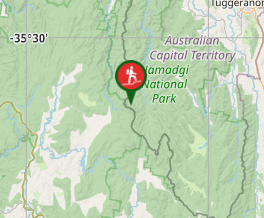
Comments