



 2.9
2.9 1
1
Aussie Bushwalking can keep track of your bushwalks.
Login/signup to tick this walk off.Menu
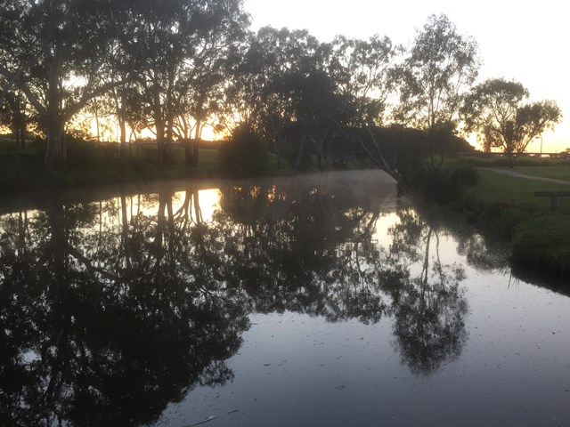
A walk along the Condamine River through the parklands of Warwick.
Waterfalls
Swimming
Picnic Facilities
Toilets
Dogs Permitted
Cycling Permitted
Eucalypt Forest
495m
Maximum Elevation
90m
Total Climb
Getting there
How do you get to the start of the walk?
Start at Federation Park off of Victoria Street on the Condamine River.
Maps
Which maps cover the area?
Maps of Warwick.
Route/Trail notes
A detailed description of the walk!
Start at the upriver corner of Federation Park making your way down along the river bank on the paved path. Towards the end of the park you will come to some informational signage and statues of the indigenous dreamtime story of Tiddalik as well as a historical flood marker. Cross under the bridge and continue on along the river banks in Queens Park. When you reach the end of Queens Park at the Park Road Bridge & Weir you can decide to retrace your steps or cut across Queens Park past the sports fields or cross the bridge and continue up stream on the otherside of the river into St Mark's Park. When you reach the Helene Street Bridge recross the river and follow the last section back through Federation Park.
Permits/Costs
Do you need any permits? What's the cost?
Free
Other References
How can I find more info? Any guide books?
N/a
GPS Tracks
- No GPS available for this walk yet.
Comments