



 Mt Cooee (KML)
 4
4 2.5
2.5- Mt. Tibrogargan summit - Caves Route (Glass House Mountains National Park)
- Mt Tibrogargan Summit (Glass House Mountains National Park)
- Mt Tibrogargan summit from car park trailhead (Glass House Mountains National Park)
- Tibrogargan Circuit (Glass House Mountains National Park)
- Trachyte Circuit (Glass House Mountains National Park)
Menu
GPS Tracks
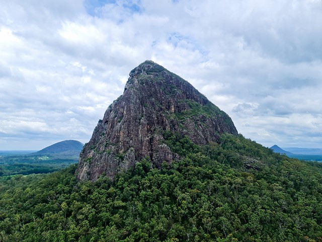
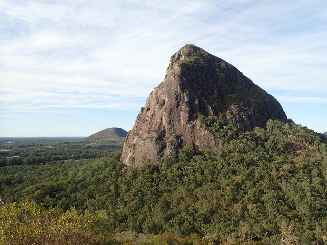

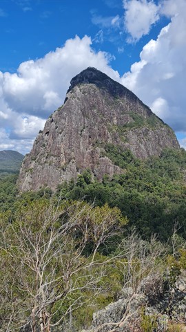
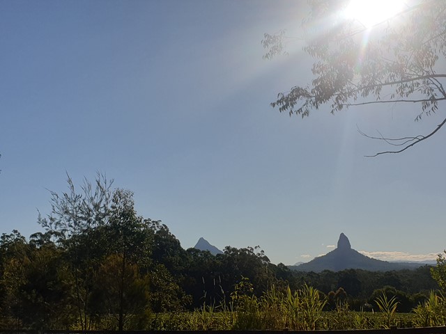
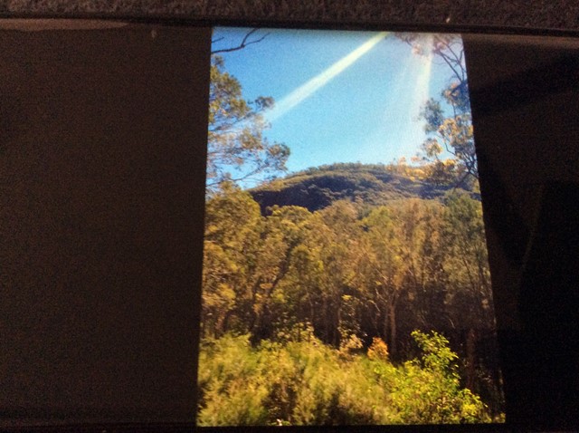

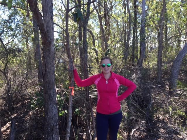
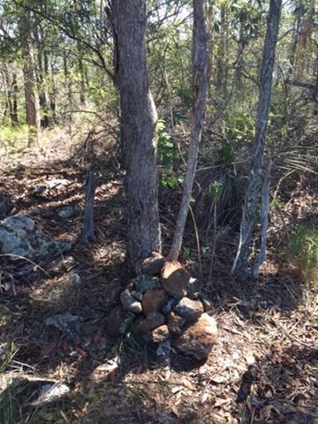


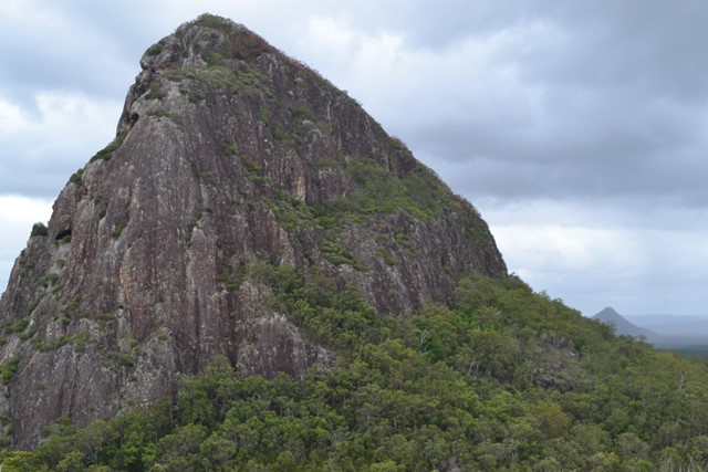
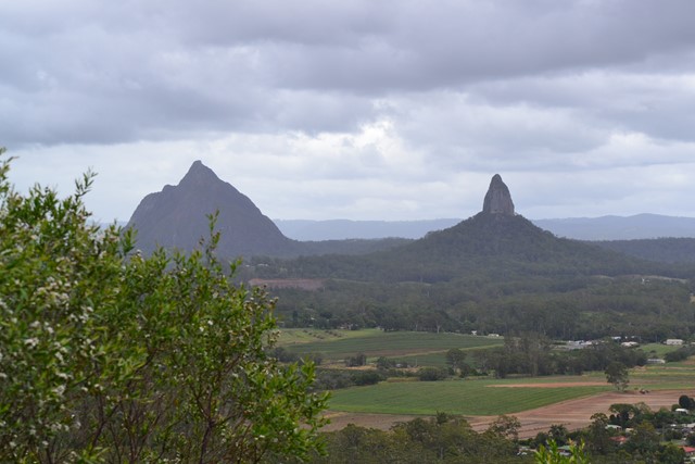
At just 167m, this is probably the least climbed and one of the least known mountains in the area, especially as it is overshadowed by Mount Tibrogargan immediately to the west.
Lookouts
Scrambling or Climbing
No Dogs Permitted
No Camping Permitted
Eucalypt Forest
167m
Maximum Elevation
127m
Total Climb
Getting there:
Turn off the Bruce Highway onto Steven Irwin Way and just north of Beerburrum turn into Barrs Road, which is signposted for access to Mt Tibrogargan. The fire trail access is on the left opposite 210 Barrs Road. Park where you can.
Maps:
Barrs Road is marked, but not Mt Cooee.
Route/Trail notes;
Start from the National Park gate on Barrs Rd and walk along the “fire trail” for 500m to the 'T' junction. There are now at least four options open to you, all requiring a bush-bash to the top:
1) Go straight ahead.
2) Turn left and after 300m head east to the top.
3) Turn right and after 800m, when you reach the cleared agricultural land and dam, turn north west to the top.
4) Go beyond this point and follow the power lines to the top of the ridge. You will have to go back into the trees at some points as the gullies along the power line track are too dense to get through. At the top of the ridge, turn left and fight your way to the top.
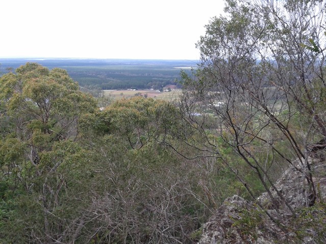
Due to vegetation at the summit there are limited view so have a look around, but be careful, as the shrub can hide cliffs.
Permits/Costs:
None
Other Comments:
The fire trails and scrub on the mountain have not been maintained (2016) or 'back burnt' and looks like an accident waiting to happen as it is all timber dry and what has been cut down along the fire trail no longer provides a fire break.
GPS Tracks
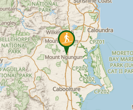
Where
Click here to load this map.
 Map data © OpenStreetMap contributors. Terrain: © Geoscience Australia.
Comments