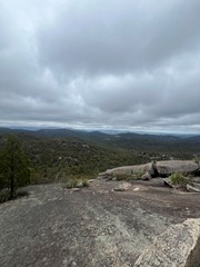
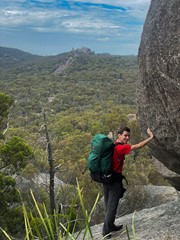
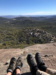
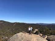
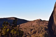
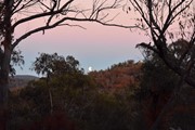
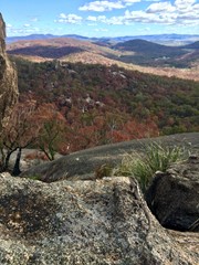
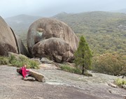
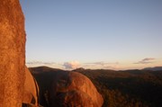
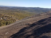
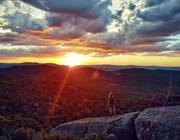
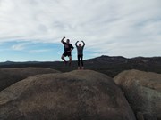
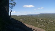
Panoramic views from Castle Rock are breathtaking including The Pyramids and Mt Norman.

Officially rated Grade 4/Hard, this walk requires a moderate fitness level, some scrambling skills and confidence with heights.

Bird Watching
Picnic Facilities
BBQ
Toilets
Scrambling or Climbing
No Dogs Permitted
Camping Permitted
Eucalypt Forest
1082m
Maximum Elevation
170m
Total Climb

Getting there:

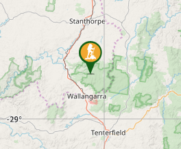
Girraween NP is situated approximately 260km by road south-west of Brisbane. To reach the park, turn off the New England Highway 26km south of Stanthorpe or 30km north of Tenterfield onto Pyramids Road. The winding bitumen road continues a further 9km east through the Wyberba Valley to the park's Information Centre and day use picnic area.

An alternative road from Stanthorpe to Girraween via Eukey and Storm King Dam has some gravel sections.

Maps:

Girraween National Park

Route/Trail notes:

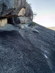
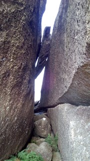
Walk up through Castle Rock Camping area to the top where the track is well marked and passes through a variety of vegetation types to the base of the rock. The final section is along exposed granite that circles the rock to the summit with the last section through a crevasse to the top. From the summit you get a great view around Girraween's many peaks.

As with all of Girraween's granite it can become very slippery when wet and should not be attempted in damp conditions. The walk is also quite exposed so be prepared if you're wary of heights.

Return by the same route.

Other References/Comments:

With so many bushwalking options in the park, why not take advantage of the excellent camping facilities at Castle Rock.

This walk is often in conjunction with The Sphinx and Turtle Rock which adds an extra 3.7km to your walk.

Comments

cool rocks

B_T on Jul, 2012

Easy to moderate section up to Castle Rock with a short scamble up and through a groove between two granite bolders for a fabulous view. No real flat spots on ridge. Backtracked then continued on to Mt Norman an additional 3.4km through easy bushland to the base of the climb. About 100m steep climb up the granite face with great views to a ridge with views off in another direction. Didn't finish the last section as it got too hard for me. Very open hot climbing the granite sticking to the white paint markers.

Rataholic on 15 Feb, 2012

Nice views, fun hike.

Major Icehole on 13 Nov, 2010

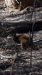
was hot, but beautiful. took my time with plenty of drink breaks. had plenty of wildlife at the camping area. was very pleasant to have Sunday morning breakfast with a mob of kangaroos grazing in front of me and the birds chirping in the trees.

Susan Edwards on Jan, 2010

Nice views, fun hike.

Major Icehole on 2010

We did this climb while camping nearby at Easter 2005. It was a good walk up the hill before the climb up to Castle Rock, which required steady feet. We also did The Sphinx and Turtle Rock as a circuit on the same day.

Troy Kasper on 25 Mar, 2005

Where

Click here to load this map.

Nearby Walks

Done this walk?

This walk has been ticked 184 times

Aussie Bushwalking can keep track of your bushwalks.

Login/signup to tick this walk off.

Tick walks to keep track of where you've been. You must Login to tick walks. Accounts are 100% free so sign up if you don't have one.