
Orderville Canyon
Zion National Park


Menu
A good introduction to canyoning in some of the prettiest canyons in the world. Tough work with some free-abseiling, wading and swimming required. Not to be attempted with any sign of rain

Getting there
Shuttle Setup - Park one car at the Zion Canyon Visitor Center and drive another car to the Orderville Canyon Trailhead. To get there go 2.4 miles past the park's east entrance, turning onto North Fork Road. Drive 5.2 miles to the Zion Ponderosa. Continue past the resort where the paved road gives way to a dirt road. The turn-off to the trailhead is 6.2 miles past the Ponderosa or 11.4 miles from Highway 9, on the left side of the road. From this point a 4WD is required even in dry conditions, otherwise park at the gate and walk. Past the gate the road can be washed out, slippery and difficult to navigate. Most 4WD's can go about 2-miles, leaving a half-mile of hiking to get to the riverbed where this route begins.
Maps
Any detailed Zion map available from Sol Foods in Springdale.
Route/Trail notes
From the carpark follow the well defined trail. Eventually you will notice the canyon slowly form around you. Keep following it downstream until you get to the temple of Sinawave bus stop. Full details can be found here: http://www.zionnational-park.com/zion-orderville-canyon.htm
At times you will come to about 3 large drops, where rope is required. Bring at least 20 metres of rope. Each of these drops have some equipment attached to the rock wall to assist you. However they may be a bit hidden or even over the edge.
Be careful and do not attempt if any chance of rain. There is a large chance of flash flooding and lots of debris blocking the canyon will attest to this.
Permits/Costs
Only 80 permits are given a day. permits will not be given if any chance of rain. See the Zion National Park office.
Other References
http://www.zionnational-park.com/zion-orderville-canyon.htm
GPS Tracks
- No GPS available for this walk yet.
 18
18 10
10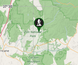
Comments