


 2
2 1
1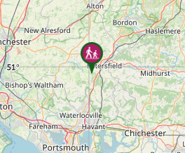
Aussie Bushwalking can keep track of your bushwalks.
Login/signup to tick this walk off.Butser Hill
United Kingdom
Menu
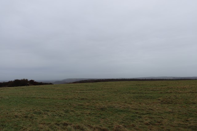
Butser Hill at 271 metres classify's as a Marilyn (peaks and hills in Britain with at least 150m prominence) and is the second highest peak in the Southern Downs National Park.
Lookouts
Picnic Facilities
Toilets
271m
Maximum Elevation
Getting there
How do you get to the start of the walk?
The end of Hogs Lodge Lane there is a paid carpark as well as opportunities to park slightly further away but for free.
Maps
Which maps cover the area?
Map of Butser Hill National Nature Reserve area of Southern Downs National Park
Route/Trail notes
A detailed description of the walk!
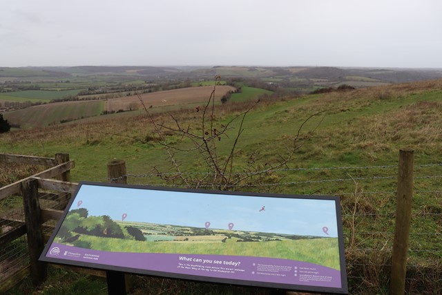
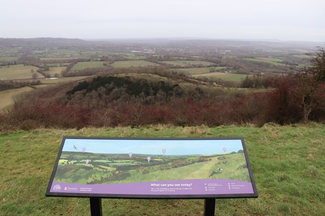
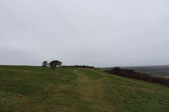
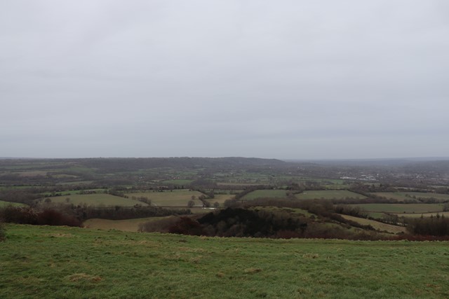
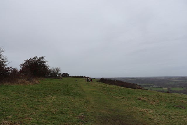
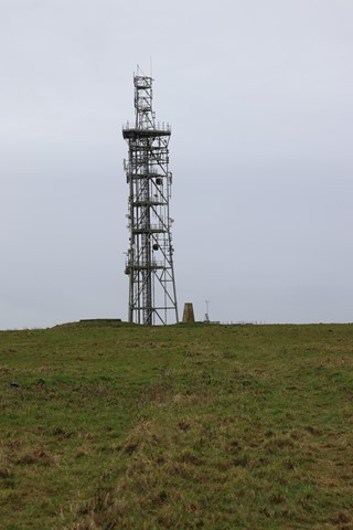
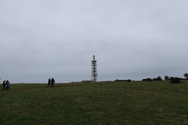
From the Butser Kisosk make your way uphill past the radiotowers to the summit marker of Butser Hill before winding your way back along the paths that circumnavigate the edge of the hill to enjoy the views.
Permits/Costs
Do you need any permits? What's the cost?
There is a paid carpark as well as opportunities to park slightly further away but for free.
Other References
How can I find more info? Any guide books?
GPS Tracks
- No GPS available for this walk yet.
Comments
Nobody has commented on this walk yet. If you've done it then tick it off and add a comment.