
Anson Bay
Norfolk Island


Menu
GPS Tracks
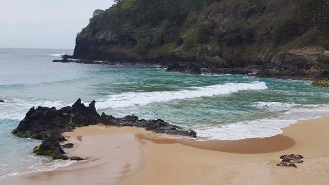


A steep track down to this secluded surf beach with its crashing waves, where you are likely to have it all to yourselves with just the sea birds as company.


Getting there:
Flights from Brisbane and Sydney. From Burnt Pine Township roundabout, take Taylors Road west and then Grassy Road north past the hospital. Turn left down Mission Road and right at the end along Anson Bay Road till you reach Anson Bay Reserve, where you can park.
Maps:
None found.
Route/Trail notes:
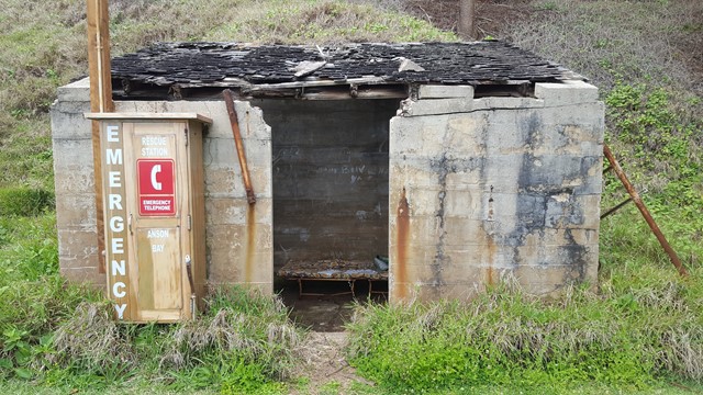
From the parking area, head down the steep cliff face track, that zigzags all the way to the beach. Stay a while and enjoy the scenery before walking straight up past the emergency shelter to cut the main track and head up to the start.
Permits/Costs:
None.
Other References/Comments:
This is a surf beach and not recommended for swimming due to the rips.
The GPS track posted is accurate, but unfortunately for some reason, the elevations are way out. On the beach it said I was 53m above sea level!
With no snakes to watch out for, keep your eyes peeled for the prolific bird life. Not sure what bird it is (visual or sound), then download the free 'Norfolk Islands Birds' app produced by National Parks. Could it be the elusive and endangered Green Parrot of which there are only 200 left?
 278 Anson Bay (GPX)
 2
2 1
1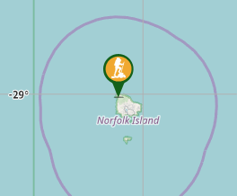
Comments