
Mt Dromedary (Gulaga)
New South Wales


Menu

A solid half-day walk to the top of an extinct volcano and Aboriginal cultural site.
No Dogs Permitted
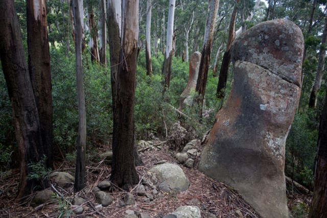
Rainforest
Eucalypt Forest
797m
Maximum Elevation
750m
Total Climb

Getting there
Starts in Central Tilba (about 5 hours south of Sydney). No public transport available. For Google maps search Gulaga-Mt Dromedary Trail.
Maps
Central Tilba 1:25,000 (89253N)
Route/Trail notes
Walk starts near Pam's Store, and follows a dirt road as it climbs towards Gulaga National Park. After about 1km, the road is closed to traffic, but remains a 4WD track. At a saddle near the top there is an unnmarked track to a site of Aboriginal significance, and narrow and steep (marked) track to the summit.
Permits/Costs
Nil.
Other References
https://hikingtheworld.blog/2017/01/05/mt-dromedary-gulaga/
GPS Tracks
- No GPS available for this walk yet.
 14.5
14.5 3
3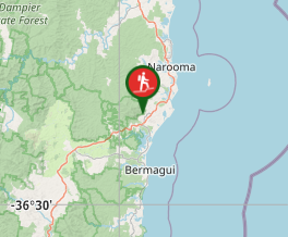
Comments