
Mt Grattai from Berrygil Creek
Mount Kaputar National Park


Menu
GPS Tracks
A reasonably tough walk with no track or ribbons for guidance. Once you reach the summit, there is a book in a metal box for you to log your visit

Getting there
You need to get to where the Waa Gorge access road begins at the end of Allambie Road. Instead of going into Waa Gorge, take a right (West) along the fence line and walk about 350m to Berrygil Creek then turn left (South) crossing the fence, this is the beginning of the walk
Maps
https://www.nationalparks.nsw.gov.au/things-to-do/picnic-areas/waa-gorge-picnic-area/visitor-info#Getting-there-and-parking
Route/Trail notes
There is no track to follow and it can be tough going in head-high hopbush. It is advisable to closely follow the attached GPX map, even then you will need to make your own way in some places, especially as the creek becomes more gorge-like and steep, it is necessary to find a detour to the right and exit the creek. There is an obvious saddle about half way (elevation wise) along the ascent which is an excellent spot to rest and decide if you have the time and resources to complete the second half of the ascent. The second half of the ascent has much less bushes. It is a very good view to the South east once you reach the summit.
Permits/Costs
None
Other References
How can I find more info? Any guide books?
 Mt Grattai from Berrygil Creek (GPX)
 14.5
14.5 8.5
8.5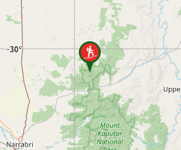
Comments
Nobody has commented on this walk yet. If you've done it then tick it off and add a comment.