
Routeburn Track (At least to Harris Saddle and back)
South Island NZ


Menu
Part of the Routeburn Great Walk in Otago, I only had a day and one car so I couldn't go to the end. Most fit walkers I talked to said you can easily do it in a day.

Getting there
Driving from Queenstown, head to Glenorchy. Continue you on the Rees Valley Road and look for the signs. You should eventually end up on a dirt track called Routeburn Road which takes you to the start. If doing the whole thing, you'll need to arrange pick up at the other side on the Te Anau Milford Highway.
Maps
I used the Routeburn track tramping guide I got for $1 from the Department of Conservation.
Route/Trail notes
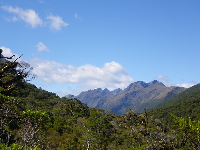
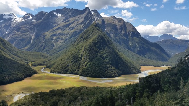
It's a fairly well kept walk. Lot's of developed tracks, bridges and even concreted with steps in parts. However, it is absolutely truly beautiful. You follow a valley for the first few kilometres (one from Lord of the Rings) keeping the grassy creek to your right. Eventually you start heading up hills and mountain sides following well defined tracks. After the Routeburn Falls Hut the track is less well defined heading up. You have to keep looking for marked orange posts every 50 metres or so. They should be fairly visible from the track. As you go up over the falls, keep to the left of the little valley, past a few boulder fields and walking towards the peaks in front.
I only got to the Harris Saddle, which definitely passes the highest point of the trek at 1255 metres. Behind the saddle there's an adventurous scramble up to even higher points.
Permits/Costs
If doing the full thing/multi-day you will have to book ahead and pay for accomodation in any of the many huts.
GPS Tracks
- No GPS available for this walk yet.
 26
26 8
8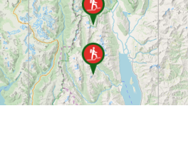
Comments