
Simpsons Falls and Eugenia Circuit
Mt. Coot-tha


Menu
GPS Tracks
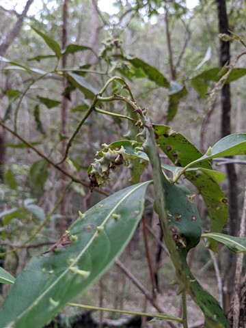
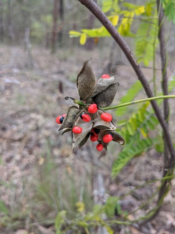
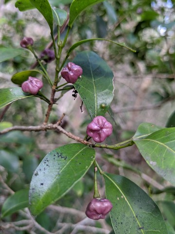


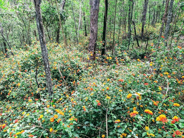

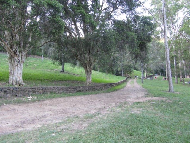
This track begins at Simpson Falls Picnic Area. It is excellent for wildflower viewing in late winter and spring when the golden wattles and purple hoveas of the open forest understorey burst into bloom. Links with the Eugenia Circuit

 Getting there
Corner of Sir Samuel Griffith Drive and Simpsons Road. Follow the driveway to the end and park near the picnic area.
Maps
Route/Trail notes
Head down the stairs from the car park into the picnic area. You will cross a creek and then head to the back left corner of the picnic area (western end). If you walk straight out from the bridge over the creek, you will hit a footpath. This will also lead out to the start by following it to the left.
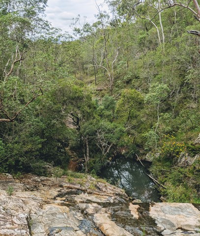
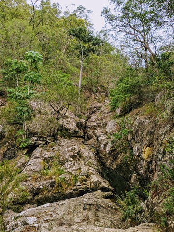
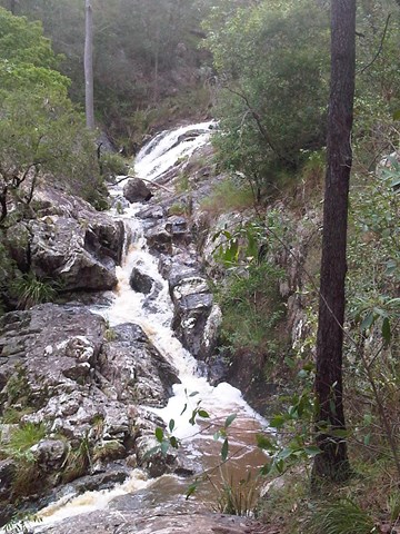
Follow the track, up some stairs, parallel to a creek and you will get to the head of the falls. Don't cross the bridge over the falls, keep going, then turn left at the first junction to go onto the Eugenia Circuit. Keep taking lefts at junctions, and eventually you will get to a gravelled service road that you have to follow up for a while. The back end of the Eugenia circuit will be signed to the left of the gravel road eventually.
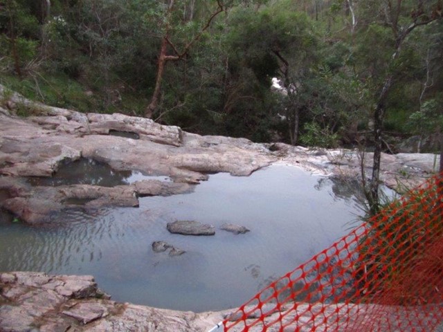
The Eugenia circuit eventually leads to the other side of Simpsons Falls. You can either follow the original track back to the picnic area or take a slight detour. To get to the detour don't cross the falls but look to your right while facing the falls. There should be a little goat track you can find that eventually puts you out behind the creek closer to the carpark.
 Simpsons Falls and Eugenia Circuit (GPX)
 4
4 90
90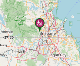
Comments