
It's like Wikipedia... but for Bushwalkers!
Aussie Bushwalking is a user-supplied list of bushwalking and hiking tracks in Australia - made by bushwalkers, for bushwalkers. It helps bushwalkers find new walks, share walks and track conditions and remember their Australian bushwalking/hiking activities.


New Walks
-
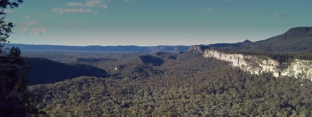
Mt. Myogi 妙義山 (Gunma Prefecture)
(Japan - 5km return)Mt. Myogi offers a thrilling hike with long sections of scrambling. It is not for the faint hearted but the views are spectacular. Although not one of the 100 famous mountains, it honestly should be as…
-
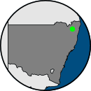
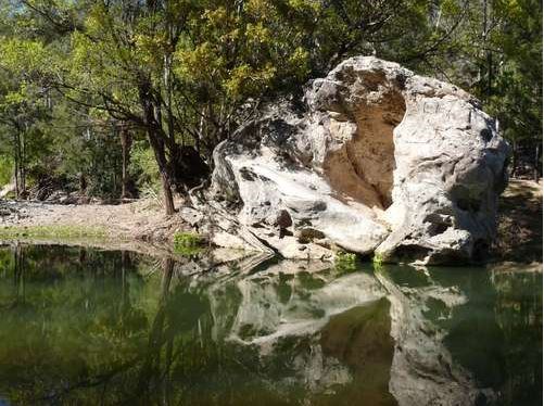
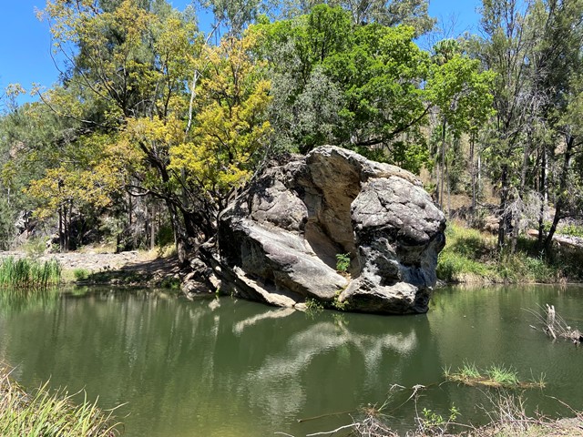
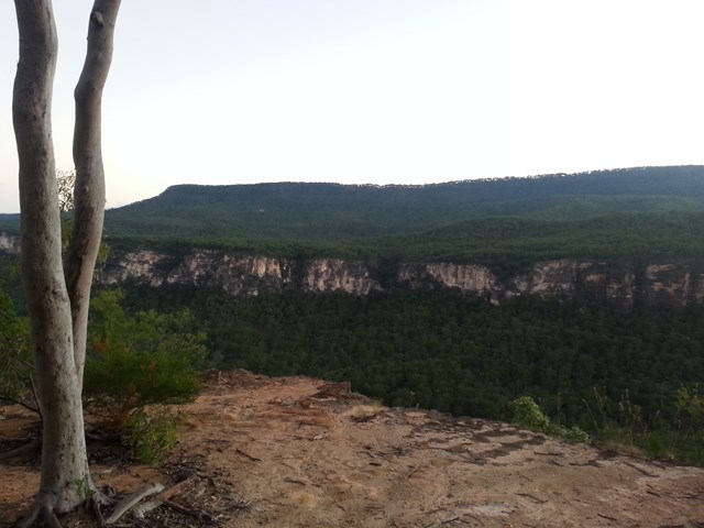
Sentimental Rocks
(Darling Downs South West - 1.5km return)A little patch of bushland in Stanthorpe that offers a taste of the granite boulders the granite belt is known for. A mini Girraween National Park for those who run short of time to make it out there.
-
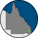
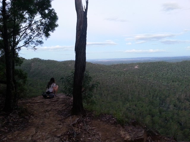
The Piccaninny
(Grampians National Park - 2.5km return)This route steadily climbs to The Piccaninny, which gives gorgeous views of Mount Abrupt, Mount Sturgeon, and Dunkeld. The majority of the trail is wooded, and the path is mostly sand and dirt but gets…
-
Moreton Bay Cycle Way (Lota to Wynnum section)
(Brisbane City Council Local Walks - 7km one-way)Shared path along the water, traversing the seaside suburbs of Lota, Manly and Wynnum.
-
Gary Evans Walkway (Nambour)
(Sunshine Coast - 3km return)Local walk along the Petrie Creek with boardwalk sections, bridges and passing the Sunshine Coast Modell Railway premises. Platypus area.
Recent Articles
-
Bushwalking Clubs
(Queensland)A list of bushwalking and hiking clubs in Queensland, including Brisbane and South-East Queensland.
-
Getting started with hiking
How do you start hiking, bushwalking or tramping? This page will give you some tips for somebody who wants to get out and enjoy the Aussie bush.
-
Turtle Rock
(Girraween National Park)Find out what it takes to be a real Girraween photographer...
-
Racecourse Creek
(Girraween National Park)A lyrical reflection on a magical campsite in Girraween National Park.
-
Other Websites
Aussie Bushwalking doesn't contain all the world's bushwalking knowledge (yet) so here's some other sites to fill in your time when you're stuck at home.