
Menu
Popular Walks
-
Mt. Coot-tha Summit Track
(330 ticks) -
Simpsons Falls and Eugenia Circuit
(120 ticks) -
Powerful Owl Trail (return trip)
(115 ticks) -
JC Slaughter Falls
(90 ticks) -
Honeyeater Track
(85 ticks)
Summary
The Mt. Coot-tha area forms the south-eastern section of D'Aguilar National Park, once titled Brisbane Forest Park.
Popular Walks
-
Mt. Coot-tha Summit Track
(330 ticks) -
Simpsons Falls and Eugenia Circuit
(120 ticks) -
Powerful Owl Trail (return trip)
(115 ticks) -
JC Slaughter Falls
(90 ticks) -
Honeyeater Track
(85 ticks)
History
Any interesting history for the region?
Features
What are the standout bushwalking features?
Access
How do you get there? Include all access points if there are many?
Maps
Accommodation
Where can I stay there? or near there?
Camping
Other
Contact details
Walks in Mt. Coot-tha

 1.2
km
return
1.2
km
return
 30
mins
30
mins
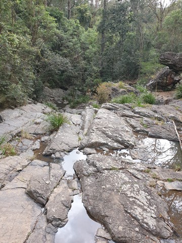
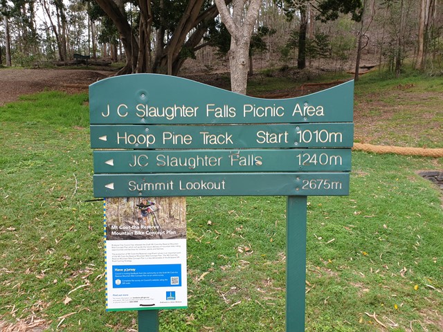
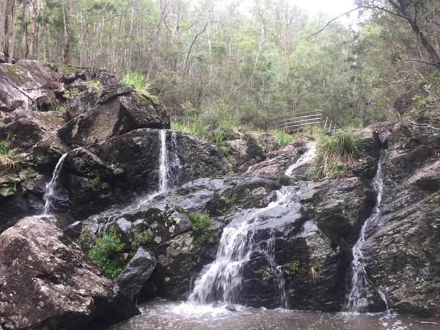
JC Slaughter Falls
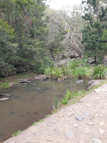
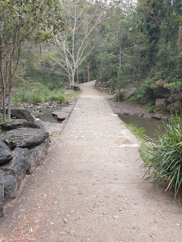
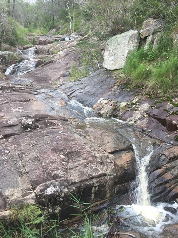
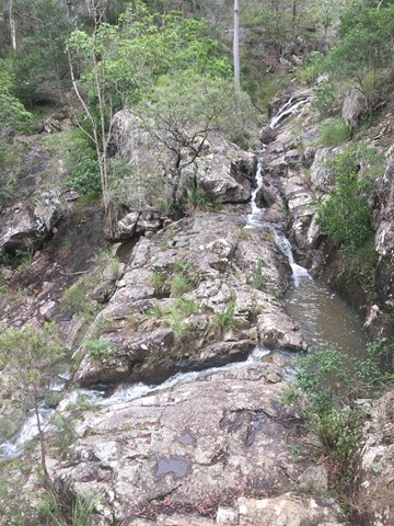
The walk begins at the far end of the JC Slaughter Falls Picnic area and follows for about 600m way one. Only about 200m on the walk has a steep rocky incline but it isn't very difficult. The falls are non-existent unless there has been some rain.
 5.3
km
return
1
hr
5.3
km
return
1
hr
Litchfield Track
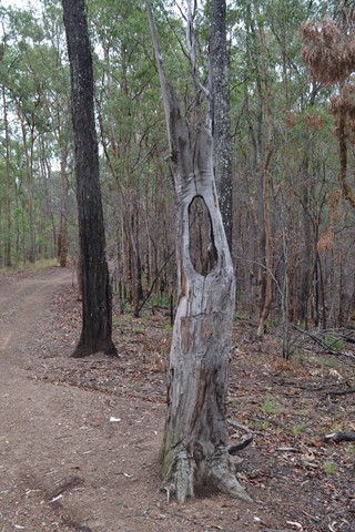
This track is 2.5km one way and is graded as moderate by Brisbane City Council and is well maintained but can have lose stones. The track winds through bushland parallel with the road and is easy to traverse. You will see a variety of Australian native plants and birds. A variety of people, at different stages of trail walking ability, use this track including trail runners.
 5.1
km
return
90
mins
5.1
km
return
90
mins
Maculata Track
A pleasant walk to a part of Mt Cootha less travelled. It winds down to Bardon reservoir then around Kulgan Cct returning to the start by Bardon Track.
 2.6
km
one-way
40
mins
2.6
km
one-way
40
mins
Mahogany Trail
An alternate track to the Summit Trail at Mt Cootha Brisbane that is shared with bikes and horse riders
 5.3
km
return
75
mins
5.3
km
return
75
mins
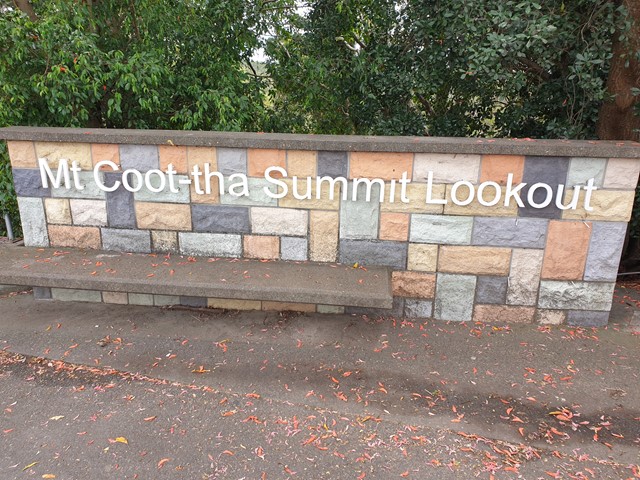
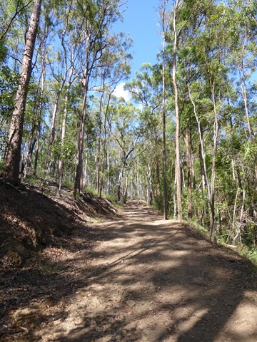
Mt. Coot-tha Summit Track
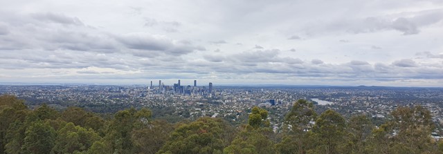
Mt Coot-tha Lookout has sweeping views of Brisbane City, Moreton Bay, and around to the Tweed Volcano, Main Range and Mount Barney and Flinders Peak. The walk to this lookout, from JC Slaughter Falls Picnic Area, is a potentially slightly testing but generally easy walk on a paved track that straddles a gully.
 2.8
km
one-way
45
mins
2.8
km
one-way
45
mins
Powerful Owl Trail (one way)
After a steep initial incline, this walk tracks over the central east-west ridgeline of the mountain (roughly bisecting the area encircled by Sir Samuel Griffith Drive).
5.6
km
return
90
mins
Powerful Owl Trail (return trip)
Start from either channel 9 or Silky Oaks picnic area. Well frequented wide trail.
 1.3
km
return
40
mins
1.3
km
return
40
mins
Simpson Falls Track
This track begins at Simpson Falls picnic area. It is excellent for wildflower viewing in late winter and spring when the golden wattles and purple hoveas of the open forest understorey burst into bloom. Walkers may catch a glimpse of the city from the Simpson Falls viewing deck.