
Mahogany Trail
Mt. Coot-tha


Menu
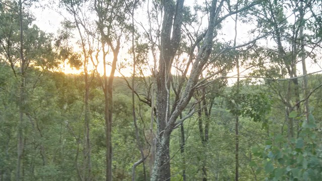
An alternate track to the Summit Trail at Mt Cootha Brisbane that is shared with bikes and horse riders

Getting there
This walk begins at JC Slaughter Falls Picnic Area, to the left of the driveway, about a quarter of the way along
Maps
https://www.brisbane.qld.gov.au/sites/default/files/20160729-mt_coot-tha_forest_track_map.pdf
Route/Trail notes
This track is quite wide and well kept. It is of an uphill grade from JC Slaughter Falls Picnic Area to the Summit where there is a cafe and gift shop. There are mild humps all the way along, probably for the benefit of bike riders. You can choose to return either by the same route or by the Summit trail which heads back from the same place at the top and returns to the far end of the picnic area.
Permits/Costs
No costs required.
Other References
How can I find more info? Any guide books?
GPS Tracks
- No GPS available for this walk yet.
 2.6
2.6 40
40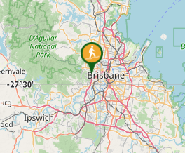
Comments