
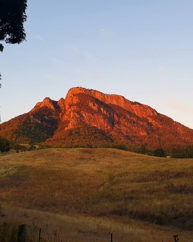
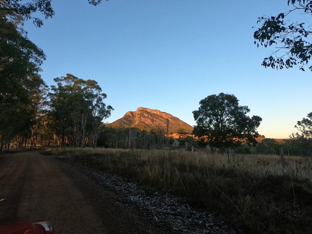
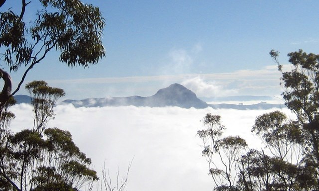
Mt Maroon
Mt Barney National Park


Menu
GPS Tracks
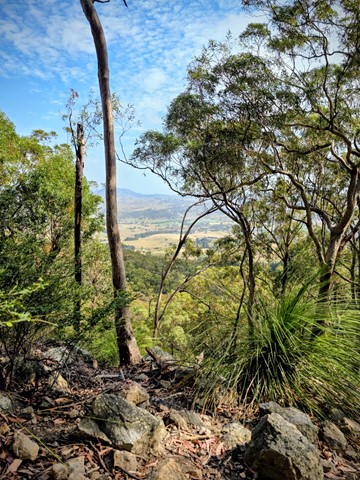
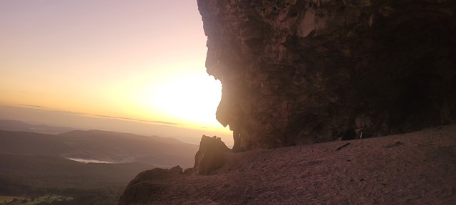
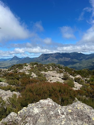
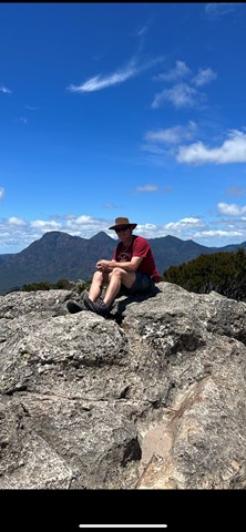
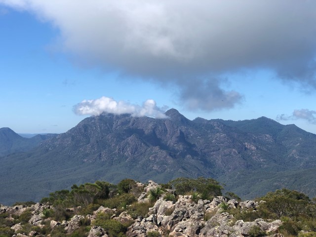
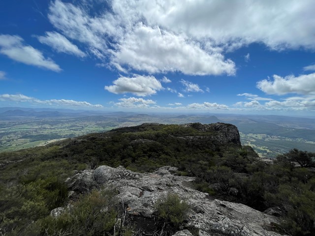
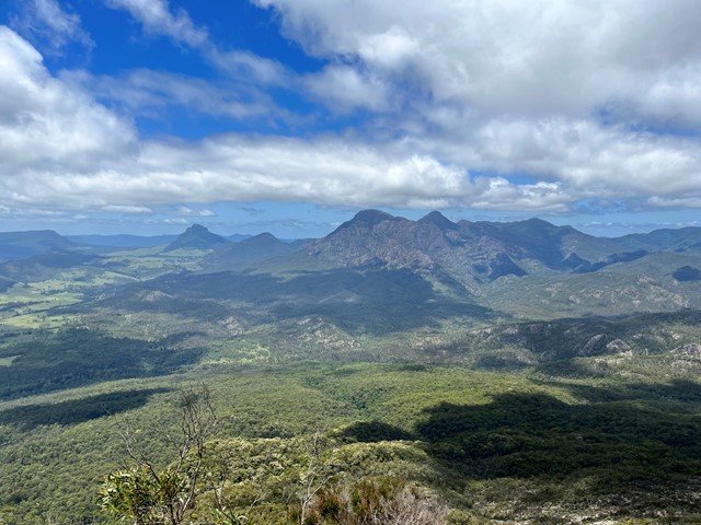
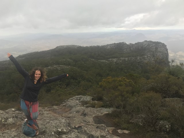
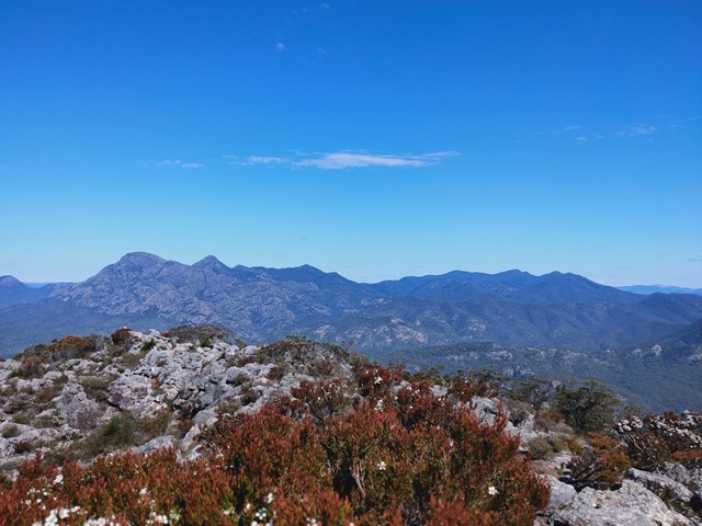

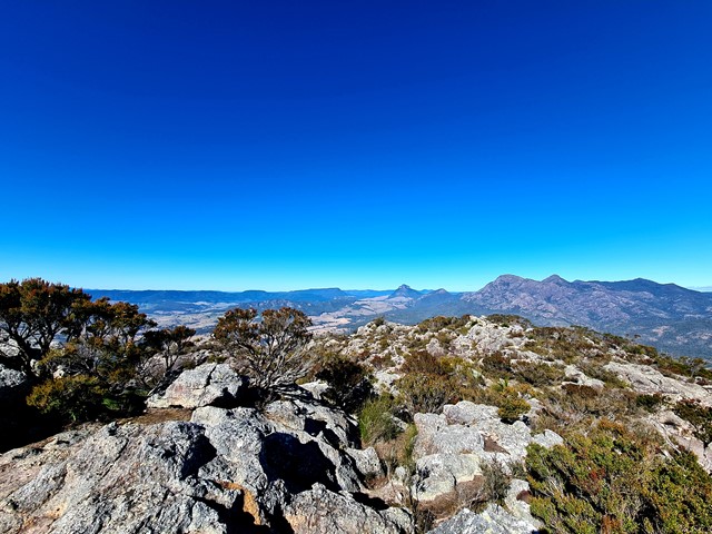
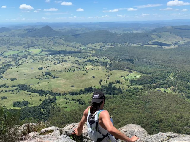

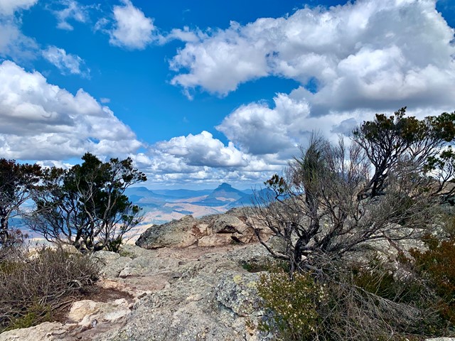
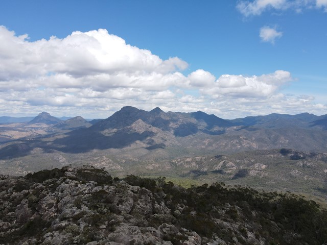


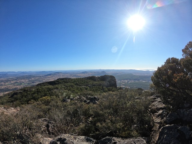
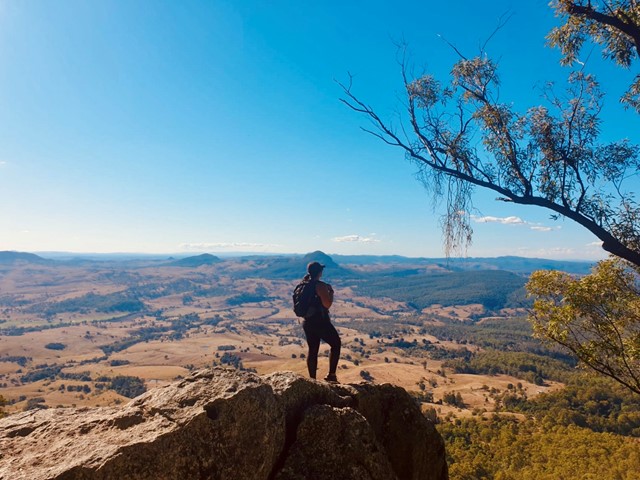
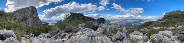

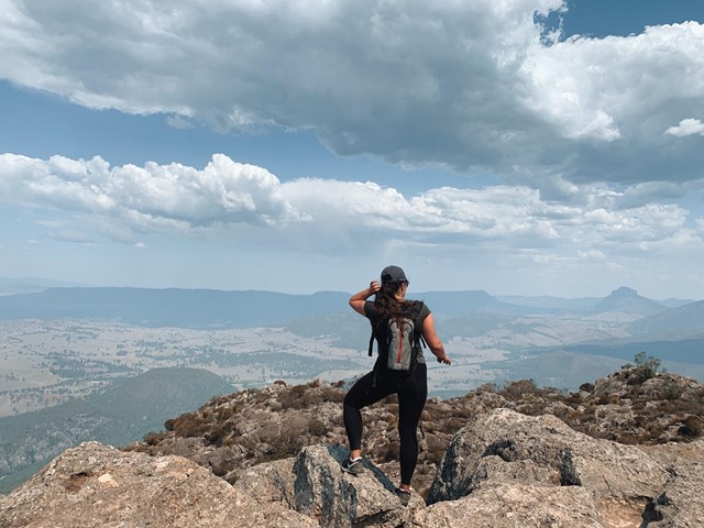
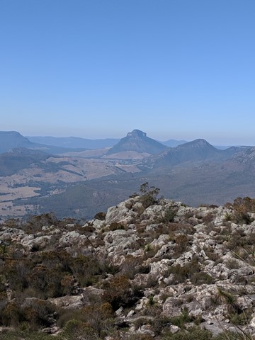
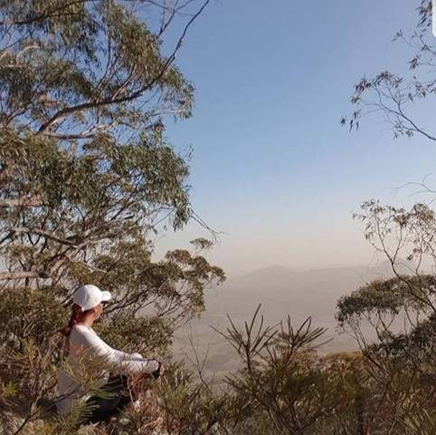

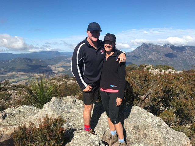


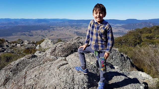

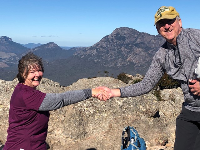

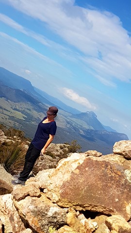

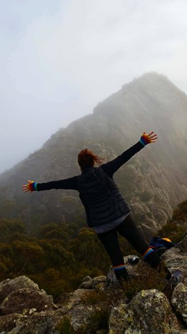
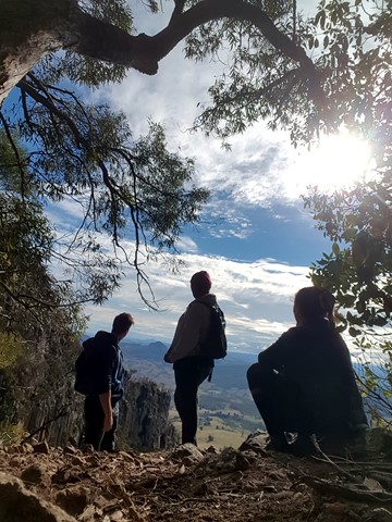
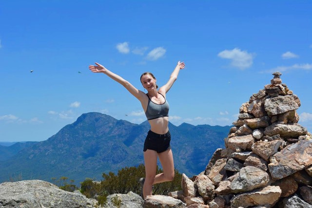
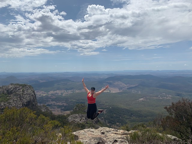


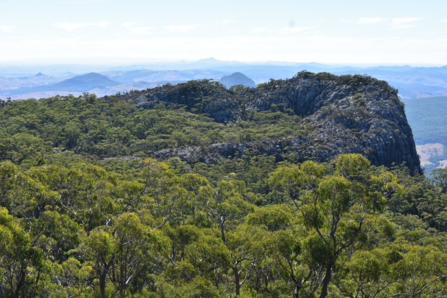
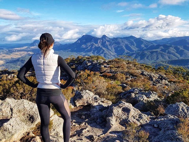
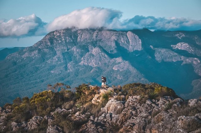
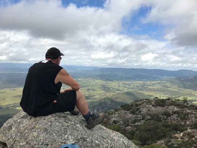

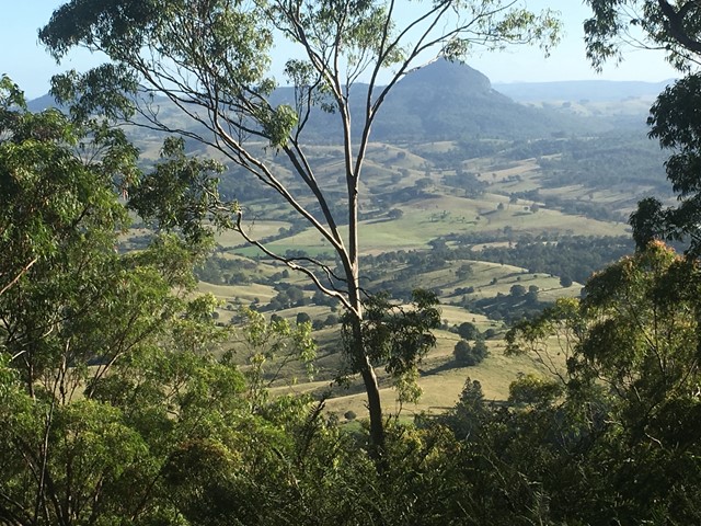
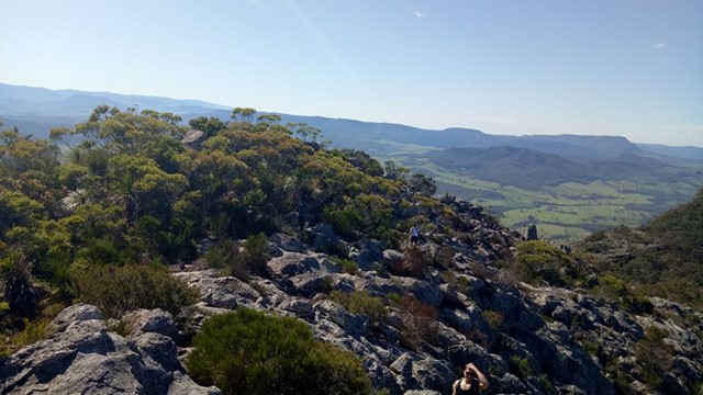
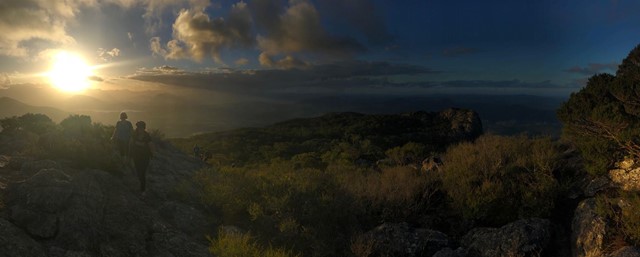
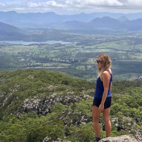
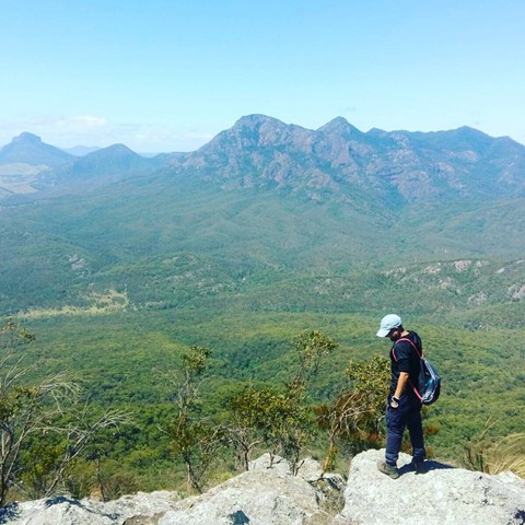
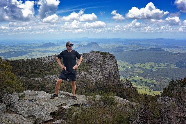
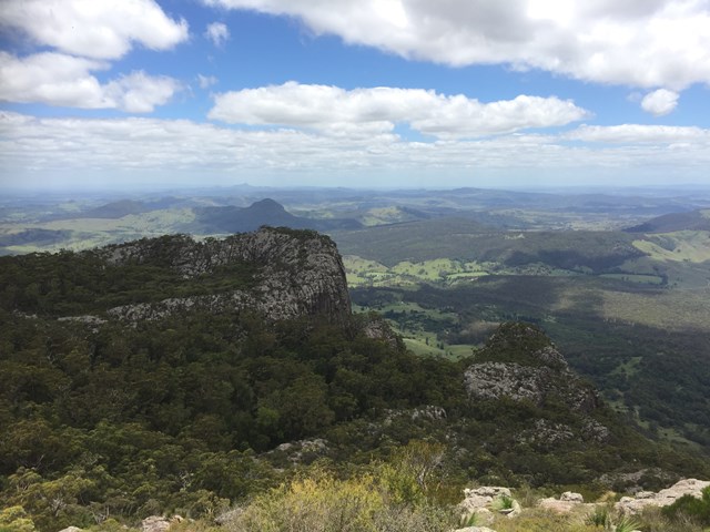
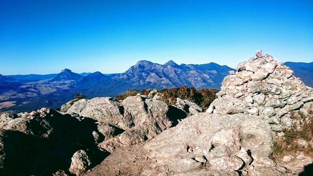
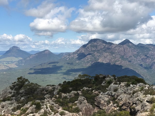

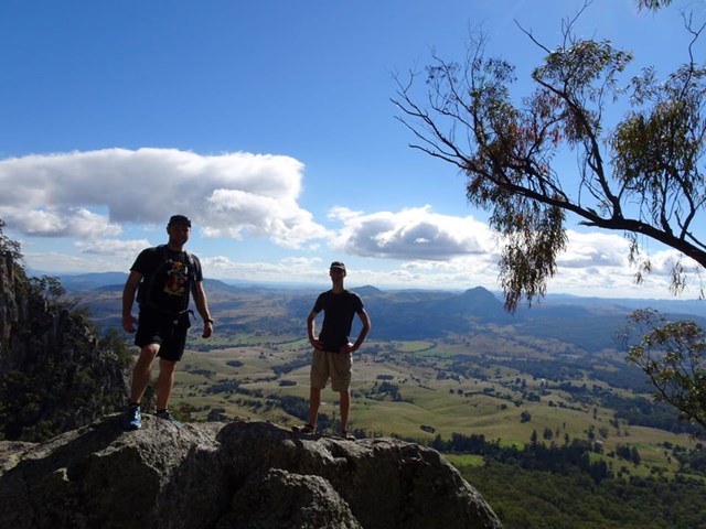
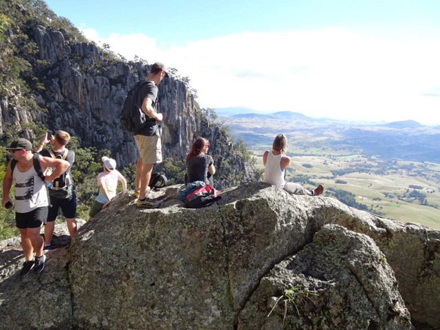
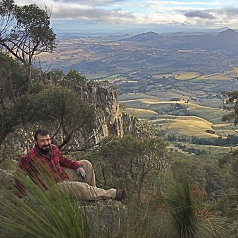
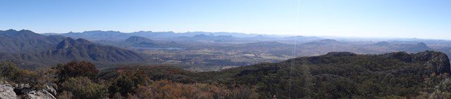
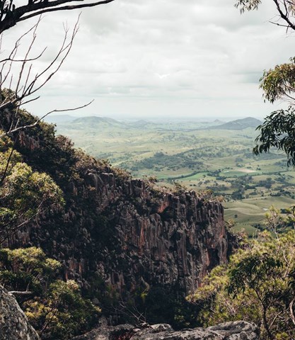
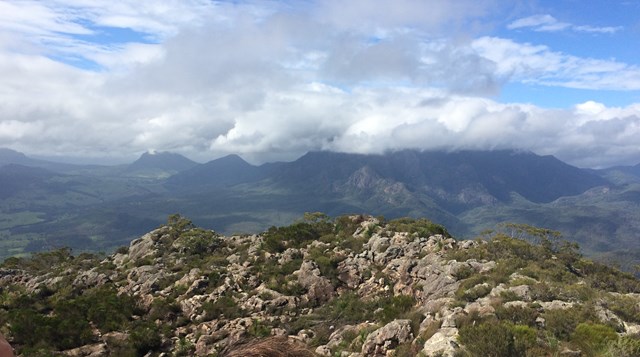
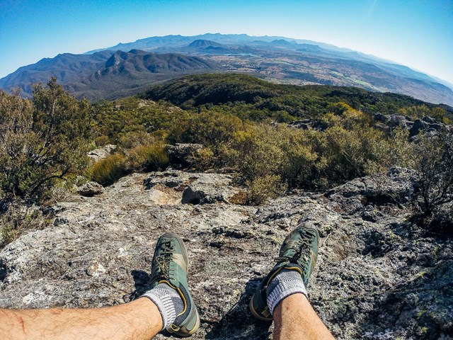


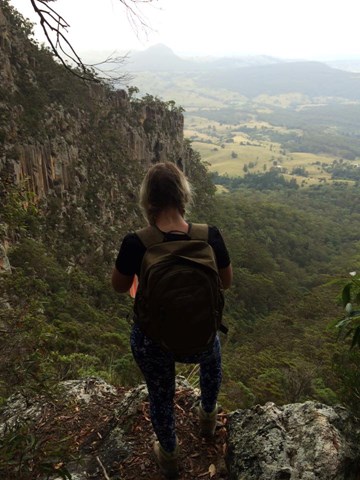


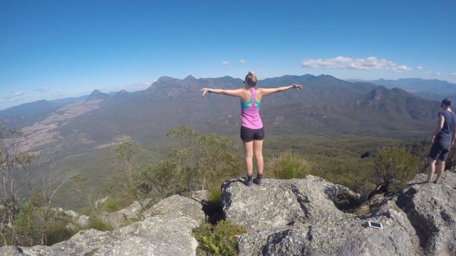
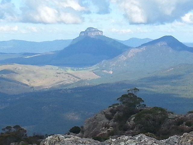


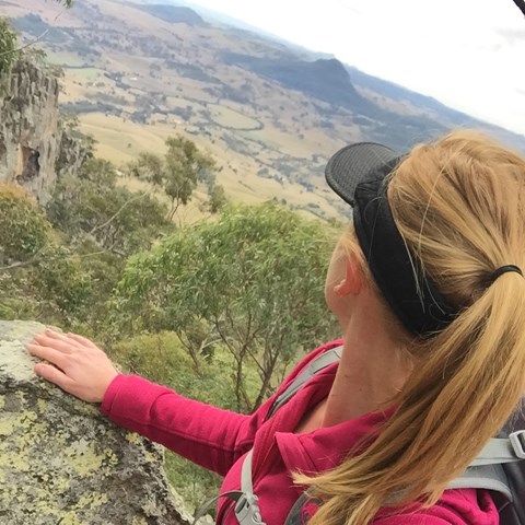
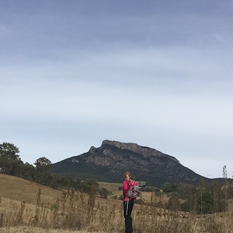
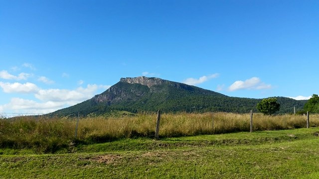

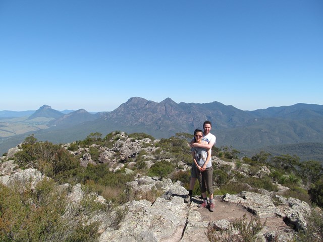
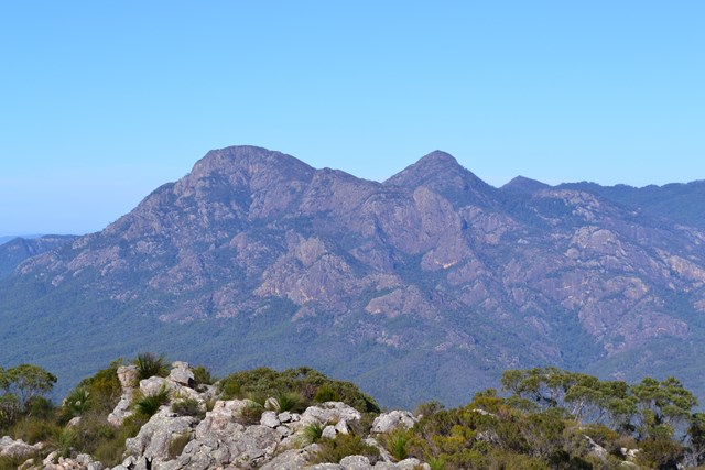
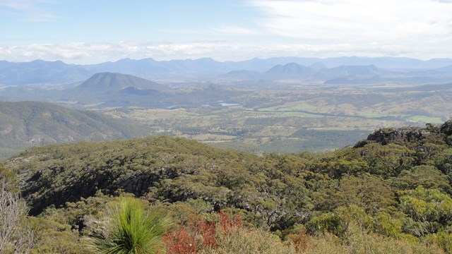

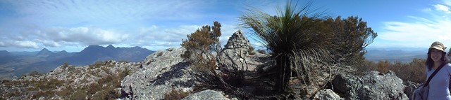
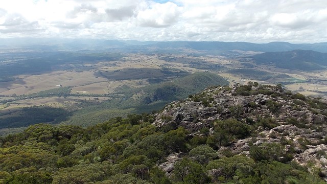
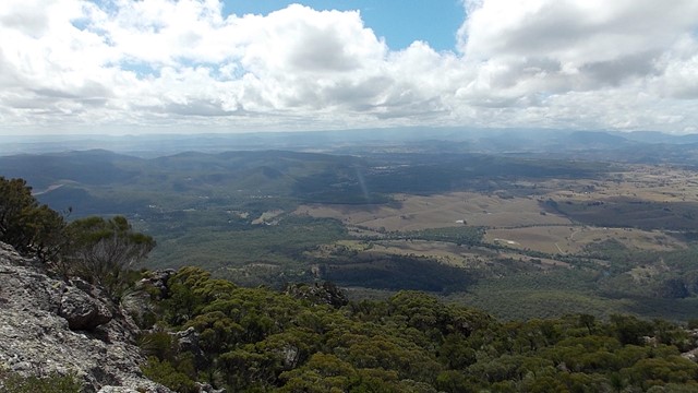
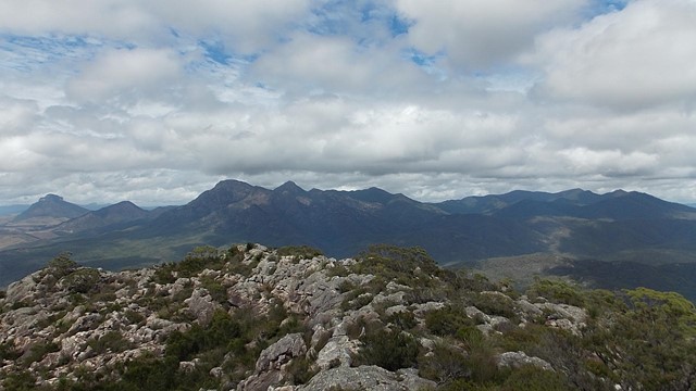
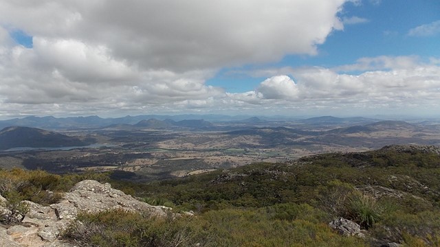
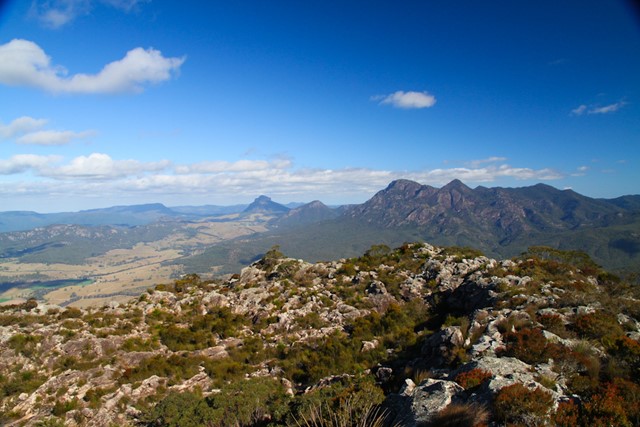

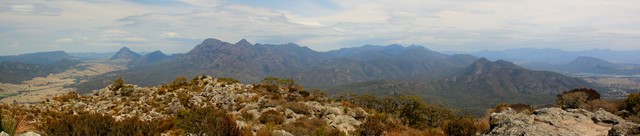
Mt Maroon provides some of the best views in South-East Queensland, with a 360 degree views ranging from Lamington NP through Mt Barney, the length of Main Range and the Moogerah Peaks.
No facilties on site, be sure to bring toilet paper etc.
Bring plenty of water and food/snacks.

![]() Getting there
Getting there
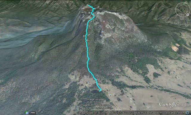
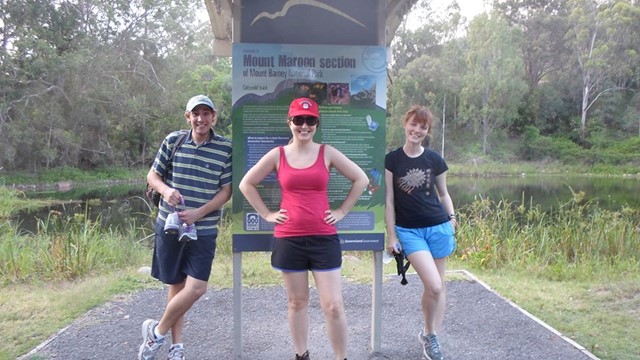
The track leaves from the end of Cotswold Rd which turns South of Boonah-Rathdowney Rd 2.7km East of Maroon township. The track ends at a small dam about 3.5km from the turnoff.
Maps
The Maroon 1:25000 covers the area.
Route/Trail notes
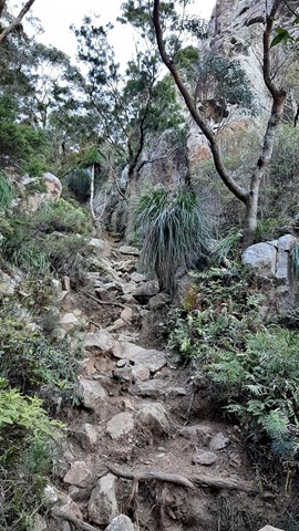
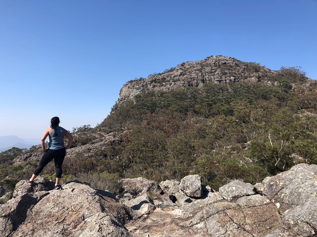
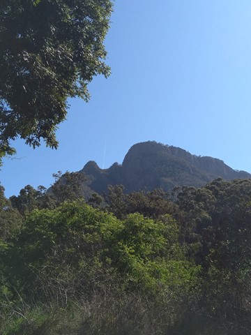
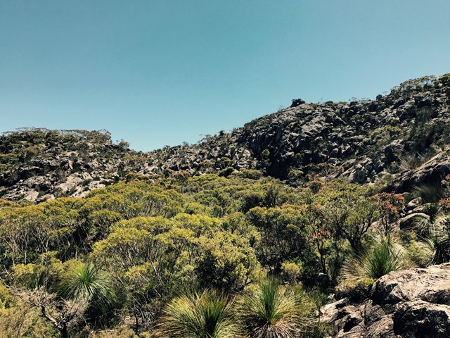
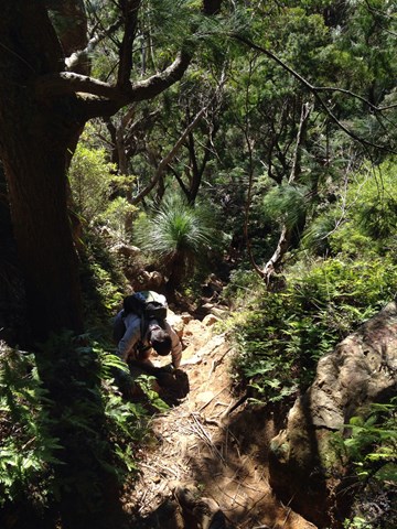
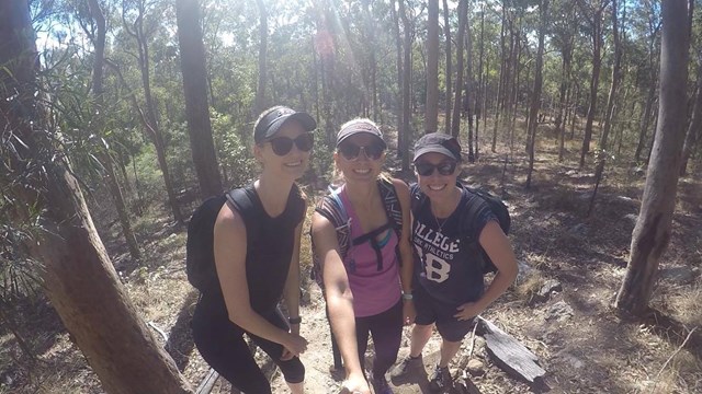
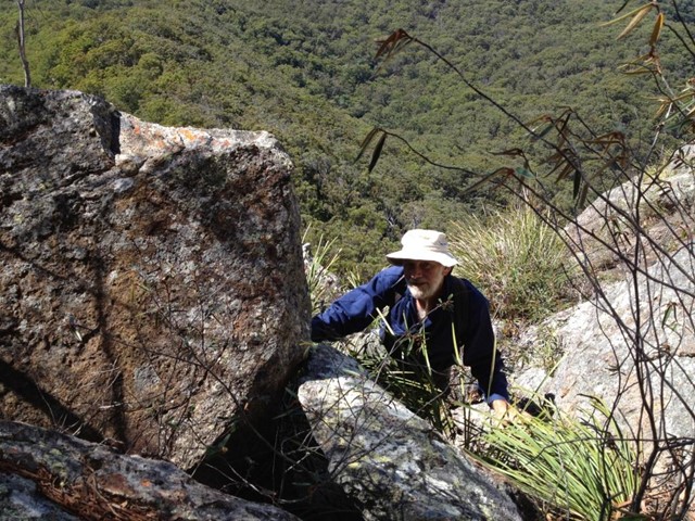
Follow the open hill just south-west of the dam. A reasonably clear track leads up the hill reasonably quickly (I wouldn't say it's steep, but if you've been doing graded tracks it'll get the heart pumping... ok, it's fairly steep!).
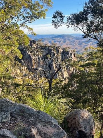
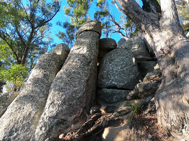
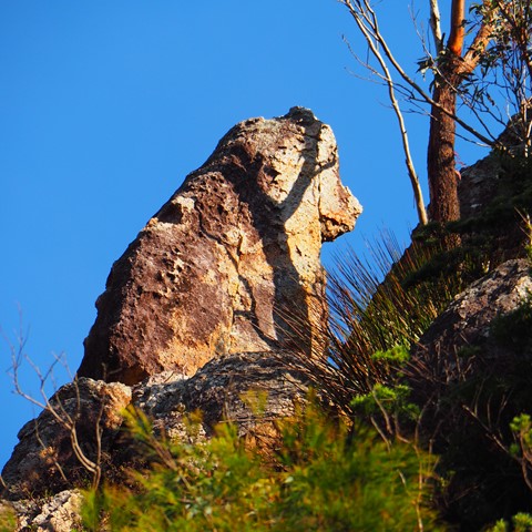
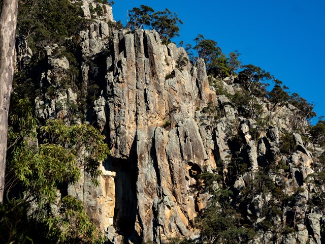
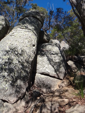
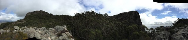
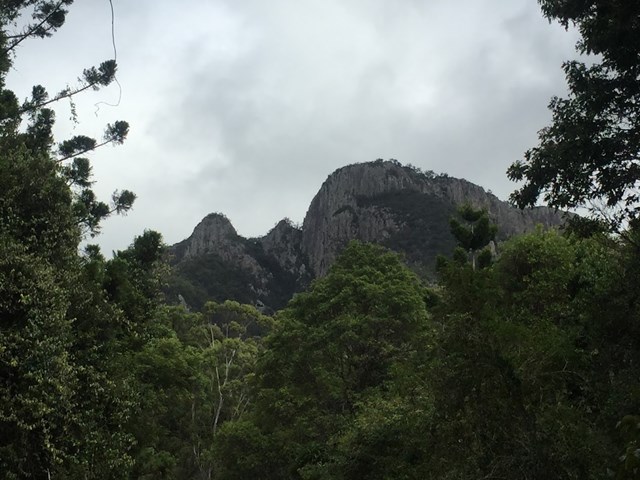
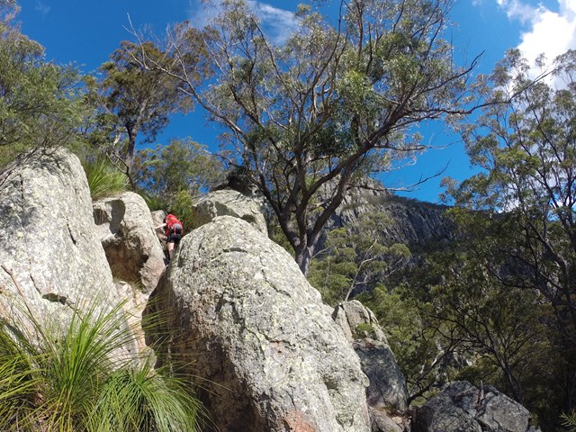
This track leads into a gully with some spectacular cliffs off to the right. If you're into rock climbing this cliff offers some good options. Just search for Ruby of India to get started.
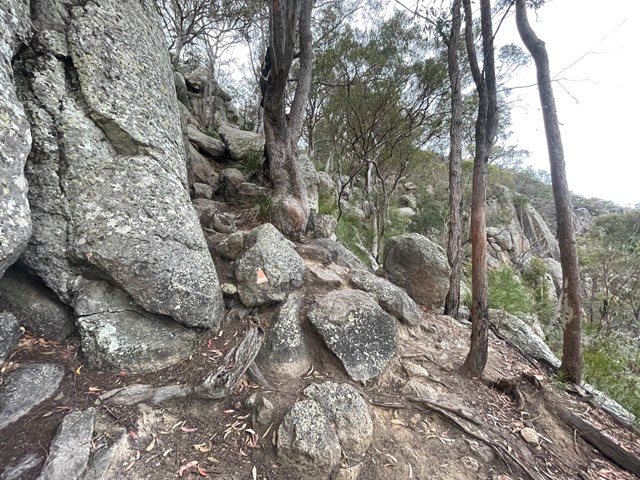
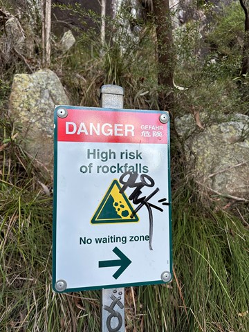
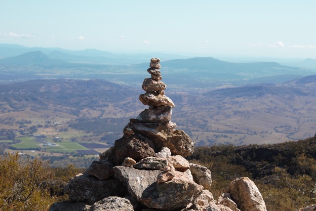
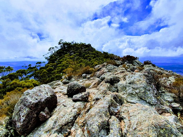
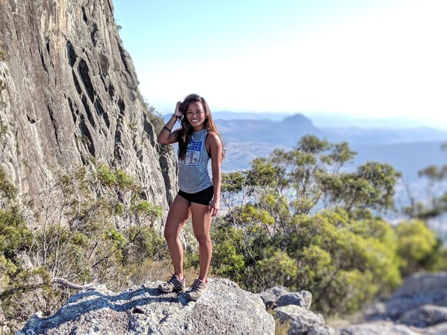
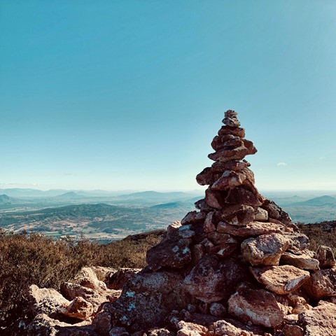
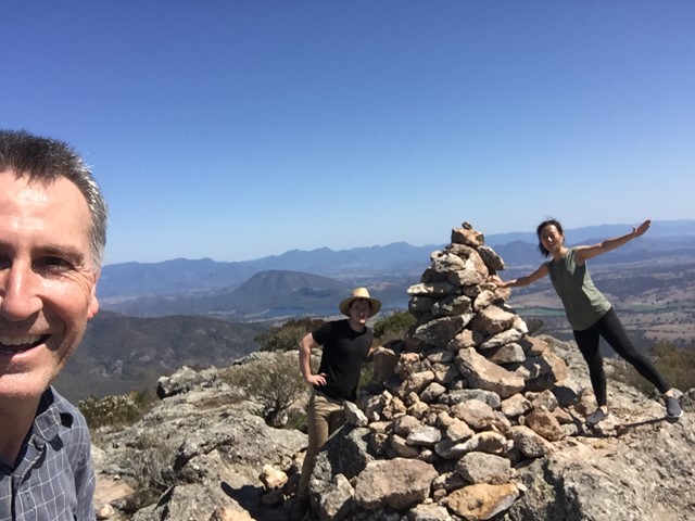
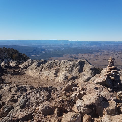
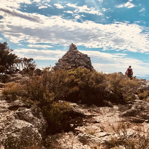
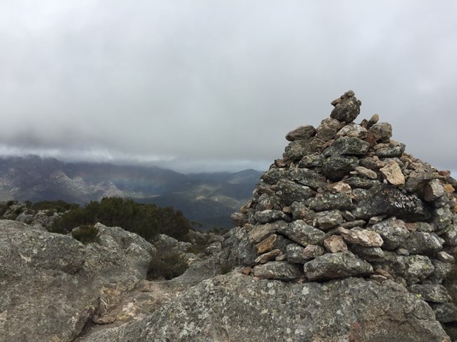
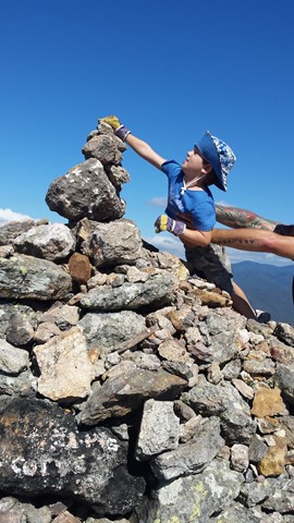
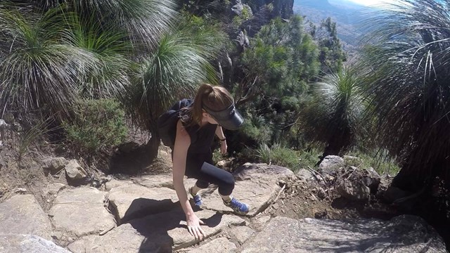
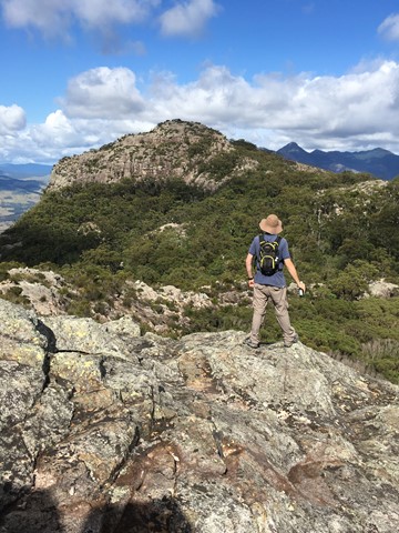
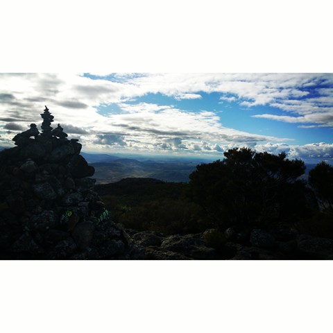
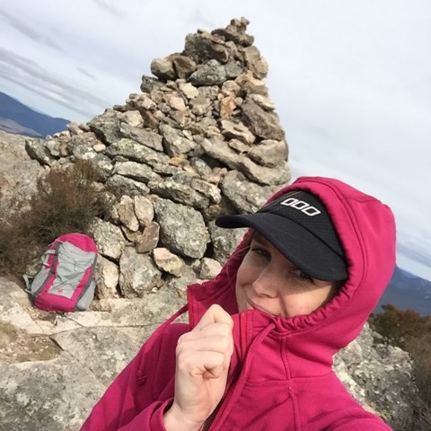
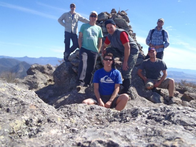
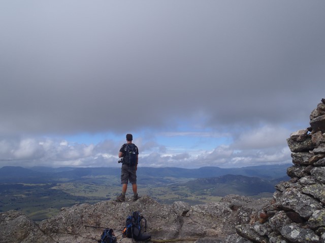
Climb up the gully, taking care not to dislodge rocks down on your fellow hikers. At the top of the gully a track leads through a small area of vegetation before emerging at the base of the main, bald peak. Simply wind your way up this peak to the large cairn at the top and enjoy the views.
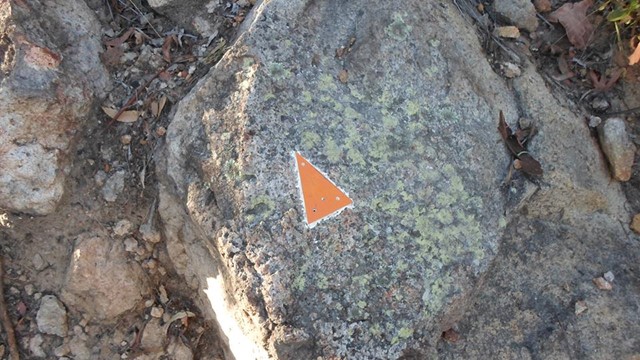
There are some trail markers along the way - orange triangles - but you should have reasonable navigation skills to attempt this one.
 Mount Maroon (GPX)
 6
6 4
4
Comments