
Mt Roland
Tasmania


Menu
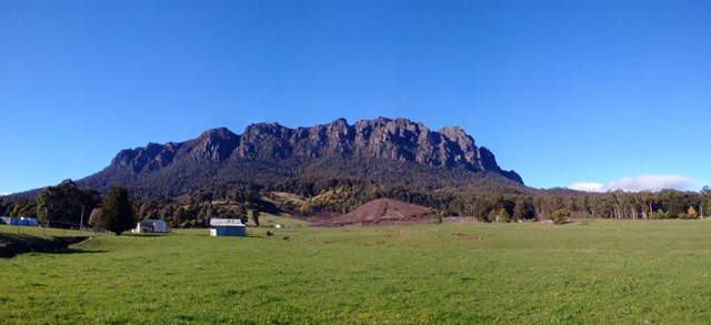

Located near Sheffield, on the edge of the Great Western Tiers region of Tasmania. Looks quite ominous as you approach from Sheffield with its many sheer cliffs. A good day walk that is easy to follow, with a large portion of the walk done across the plateau along to the summit. The path has branches off to the other mountains near by (Mt Van Dyke, Mt Claude), but the Mt Roland track is much better maintained.

Getting there
From Claude Rd, take O'Neills Rd. Follow until reach clearly marked parking area & start of walk.
Maps
Can see track on google maps: https://goo.gl/maps/9mzJfHTD2jS2
Interactive topographical map [AllTrails]
Fossey Mountains 1:50000 Topographic Map – TasMap
Cethana 1:25000 Topographic/Cadastral Map – TasMap – older map
Route/Trail notes
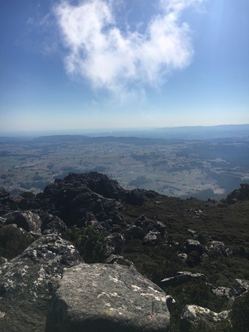
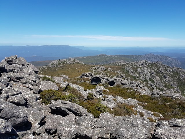
From car park follow easy path as it starts to ascend. Take left path at junction (other path is steep and heads to mount van dyke/ mt claude). This path continues to rise along a rough 4WD track for quite a while. Eventually path changes into easily followed trail and you start to encounter steps up to the plateau. You reach a junction that is clearly marked, turn left here and follow along the plateau, which is fairly easy and flat/ slightly rising. Mt Roland summit is among the rocks (no signage just a small radio tower).
Permits/Costs
None.
Other References
Track notes and photos: https://hikingtheworld.blog/2018/03/07/mount-roland-tasmania/
Can see pics: http://ajwatton.customer.netspace.net.au/29-Mt_Roland.html
GPS Tracks
- No GPS available for this walk yet.
 8
8 6.5
6.5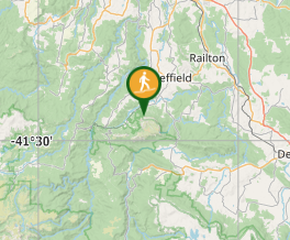
Comments