


 3
3 45
45- Melichrus Trail (Plunkett Conservation Park) (South East Queensland)
- Small Cave (Plunkett Conservation Park) (South East Queensland)
- Wickham Peak - Calytrix Circuit (Wickham Timber Reserve) (South East Queensland)
- Cedar Creek Falls (Tamborine National Park)
- Sandy Creek to Cameron Falls, Mt Tamborine (Tamborine National Park)
Wickham National Park High Point
South East Queensland
Menu
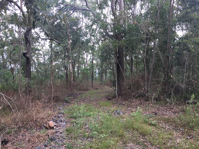
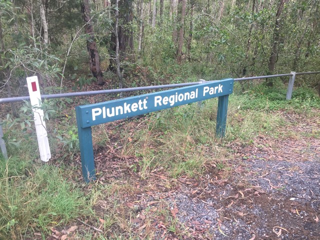
A walk from the end of Flesser Road through Plunkett Conservation Park and into Wickham National Park and to the highest point in the National Park.
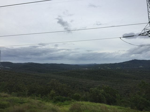
Lookouts
Eucalypt Forest
206m
Maximum Elevation
166m
Total Climb
Getting there
End of Flesser Road
Maps
Maps of Plunkett Conservation Reserve & Wickham National Park
Route/Trail notes
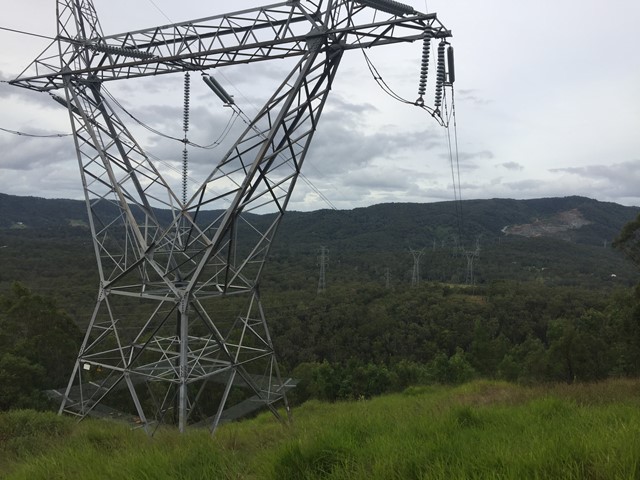
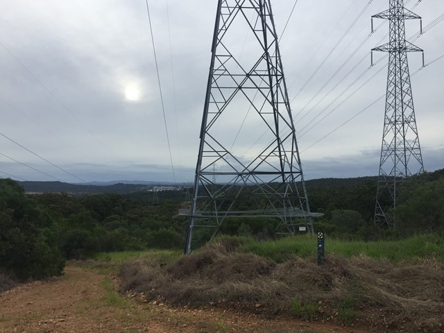
Follow the path for 400 meters before turning right over the creek before shortly turning left then left again over the creek again. Where you begin to climb your way up the hill and the gradient of the climb reduces as you reach the powerlines. Take the Telstra Break to the top and you can loop back down to the trail by turning right and then return to Flesser Road the way you came.
Permits/Costs
Free
Other References
How can I find more info? Any guide books?
GPS Tracks
- No GPS available for this walk yet.
Where
Click here to load this map.

Comments