


 Cleared Ridge to Upper Portals (GPX)
 8
8 3.5
3.5- Barney Gorge Junction Bush Camp to Yamahra Creek Camp (Mt Barney National Park)
- Montserrat Lookout and Upper Portals Circuit (Mt Barney National Park)
- Mt Barney West Peak (Mt Barney National Park)
- Mt. Barney - Short Leaning Ridge (Mt Barney National Park)
- Mt Barney West Peak from Rum Jungle (Mt Barney Summit)
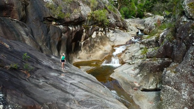
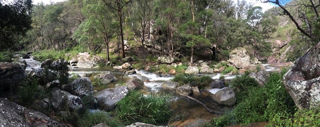
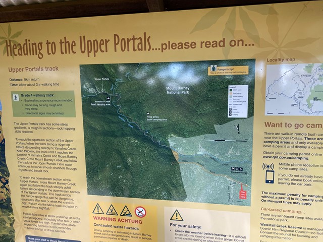
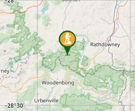
Upper Portals
Mt Barney National Park
Menu
GPS Tracks
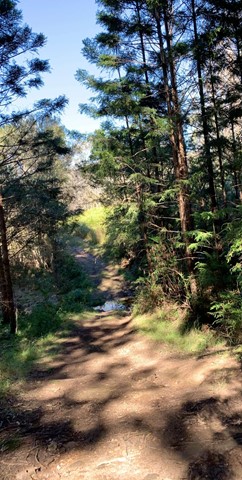
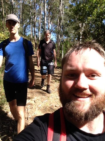
The walk is not hard if you follow the trails. A 4WD or at the very least a high clearance vehicle is required to make it up the road. It is rough going in 1st gear with a few extended steep/rough stretches. The drive is harder than the walk.
EARLIER DESCRIPTION
The only reason I'd say this walk is is because there are some steep hills which are very tiring but most of the walk is along fire trails.
Getting There
1.From Rathdowney head south-west on Mount Lindesay Hwy towards Boonah.
2.Take the 1st right on to Boonah Rathdowney Rd
3.Then the third left onto Newmans Rd
4.Left again on Waterfall creek Rd
5.Follow it until you reach Mt May campground. If you're in a 4wd continue uphill to the information kiosk and carpark.
*If you don't have a 4wd you can walk from here but expect a pretty steep hike for 1.5hrs or more; around 4km. Don't expect any signs to tell you you're still heading in the right direction either. You will pass through 3 or 4 gates on your way up. If you are walking the 4x4 track bring plenty of sun protection too as alot of patches are in direct sun.
Maps
SUNMAP 1:25000 Mt Lindesay
Route/Trail notes:
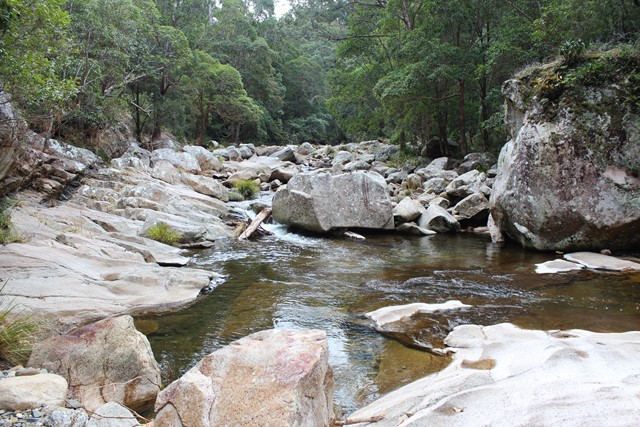
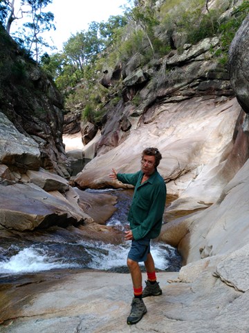
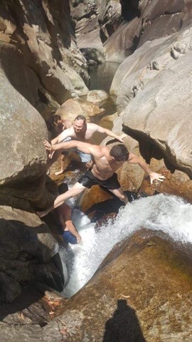
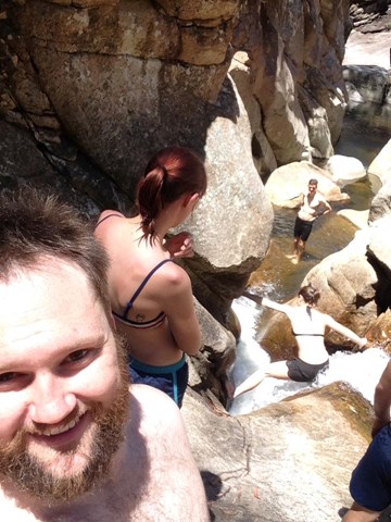
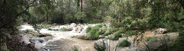
The walk is mostly fire trail until you reach Yamahra creek, there you cross the creek and follow the footpad for a couple hundred meters ther you'll find the upper section of the portals, cross the creek again and you'll see a track that leads up the hill, follow it up and along to get to the lower section of the Upper portals.
Permits/Costs
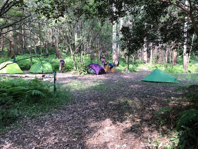
there are three remote campsites here fees apply see https://www.epa.qld.gov.au/parks/iaparks/gds/IAGDS050.jsp?quickParkId=8
Other References
Take a walk in south east Queensland is a handy book. if you want to see pictures you can go to www.weekendoutdoors.net
GPS Tracks
Where
Click here to load this map.
Comments